
John Day River Basin Developed Campgrounds
Campground · Fee
Fast facts
- Cost
- Fee charged
- Type
- Campground
- Phone
- (541) 416-6700
- Nearest dump station
- Bull Prairie Campground · 20.9 mi
- Coordinates
- 44.7940, -120.0010
- Last verified
- September 19, 2026

About this place
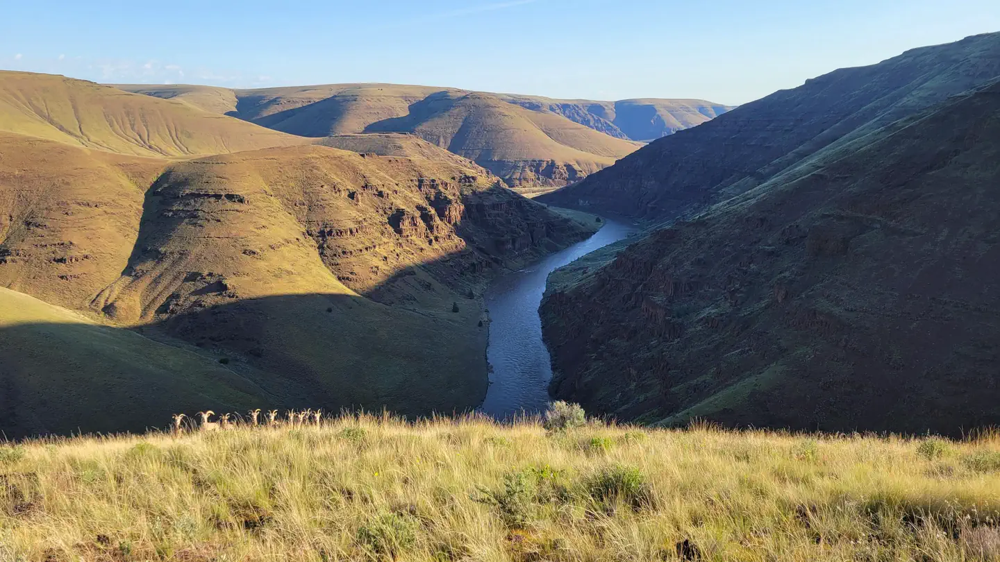
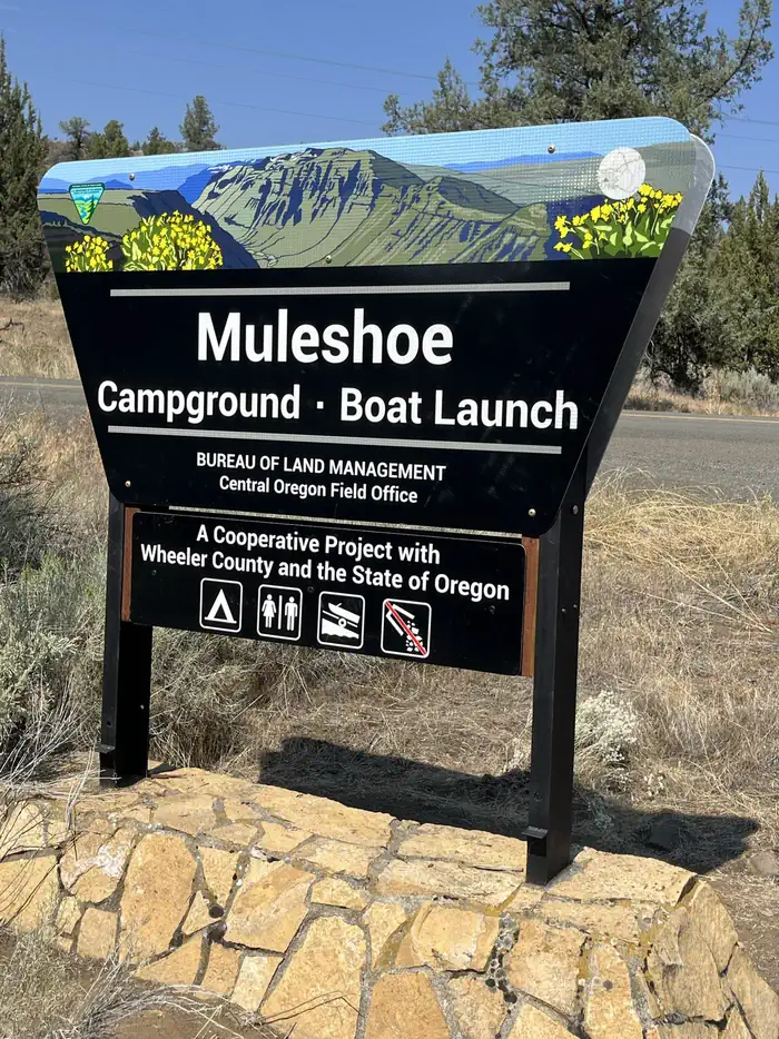
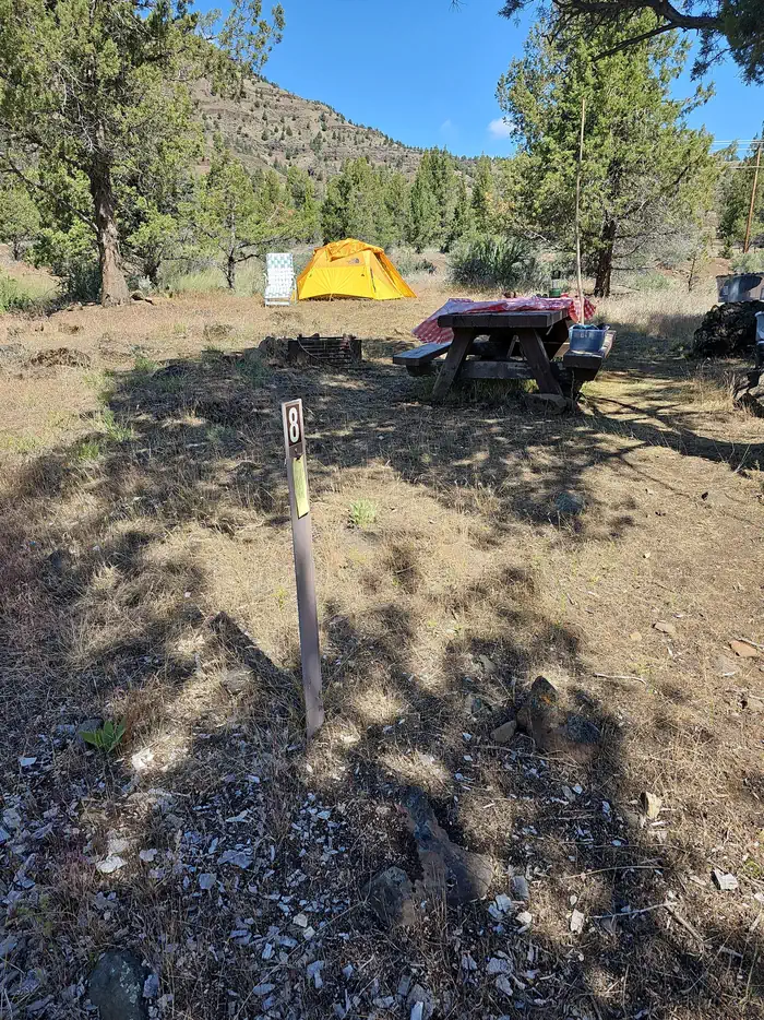
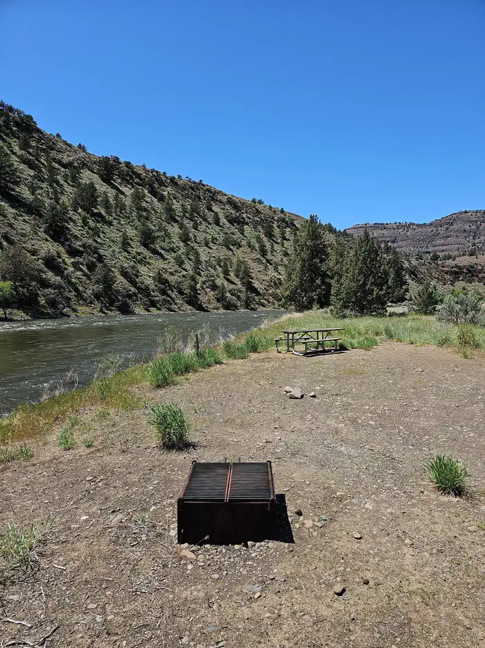
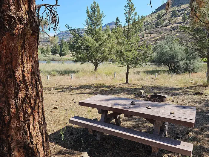
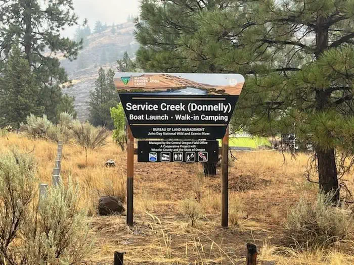
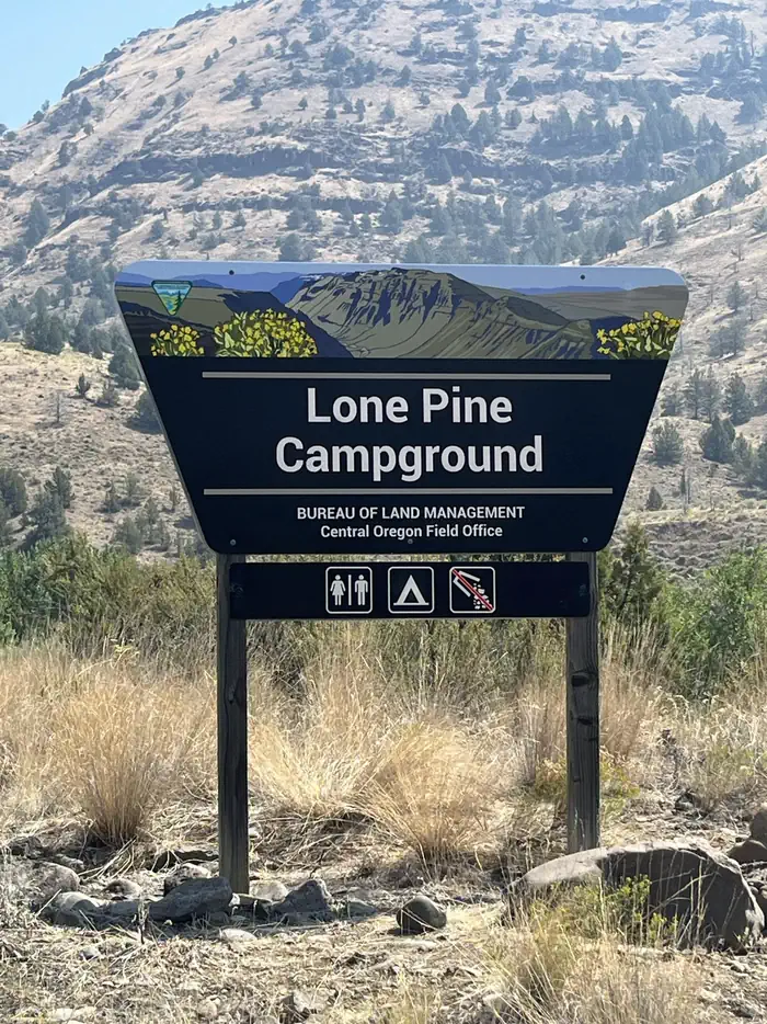
Overview The Central Oregon Field Office of the Bureau of Land Management oversees four separate fee campgrounds within the John Day River Basin in Central Oregon. Service Creek and Muleshoe Campgrounds are located near Service Creek, Oregon along the John Day River and State Route 207. Big Bend and Lone Pine Campgrounds are located between Kimberly and Monument along the North Fork of the John Day River and State Route 402. The region is rural and tends to be quiet except during spring boating and fall hunting seasons. At around 2,000 feet in elevation, you'll see mostly sage and juniper with the occasional ponderosa pine. This area is a high-desert, so expect highly variable weather conditions especially in the spring and fall. Mid-summer tends to be very hot, but the river is nearby if you need to cool off. The winter is often cold and still. Campgrounds are open year-round, and sites are first-come, first-served only. Reservations are not available. You must physically arrive at the campground to purchase and claim your campsite. Once on-site, you can pay for your campsite(s) by scanning the QR code using the Recreation.gov mobile app. The QR code is posted at the campground kiosk. There is no reliable cell service at any of the campgrounds. Download the free Recreation.gov mobile app on Android or iOS prior to your arrival. You will be able to reserve your campsite using the app even without cell service. Your payment will process once you return to cell service. The most reliable cell service in the region is in Spray. Fees can also be paid with check or cash using the fee envelope and drop box at each campground. Refer to the onsite campground kiosk for further instructions. Recreation Many travelers visit this region along the Journey Through Time Scenic Byway . Beginning in Biggs and ending in Baker City, Oregon, the Scenic Byway travels 286 miles through northcentral and eastern Oregon. John Day River Basin Developed Campgrounds make for a great resting point along this scenic and historic journey. They are also well situated if you are interested in visiting the John Day Fossil Beds National Monument . The John Day River Basin is well known for its river related activities. These include fishing, boating, photography, wildlife viewing, camping, and simply relaxing by the river. The spring snowmelt attracts boaters from around the country. Both Service Creek and Muleshoe serve as common entry points to boat the Wild and Scenic section of the John Day River. A permit is required year-round to boat between Service Creek and Tumwater Falls. For further information visit the John Day River Day Use Permits and our John Day River Overnight Permits webpages. Facilities The John Day River Basin Developed Campgrounds are basic in both design and amenities. Each campsite is flat and has a fire ring and picnic table. Each campground has an ADA accessible vault toilet. No garbage collection or drinking water is available at any of the campgrounds. There is no reliable cell phone coverage . Service Creek Campground has four walk-in only tent sites in a one acre area under large ponderosa trees. All sites are close to each other. You must walk your camping equipment into the campsites. Parking is available in a large, open gravel lot. Service Creek is also a boat launch and is a great location to camp the night before a river trip. Boaters often leave trucks with trailers in the parking lot while on the river. The mornings can be busy during spring months with boaters preparing for a multi-day river trip. Muleshoe Campground has six graveled drive-in sites that are flat and overlook the John Day River. They are all close to each other. If you are looking for more privacy, there are two walk-in sites that are a short walk up a hill. Muleshoe also offers a primitive boat launch. Lone Pine Campground has five graveled drive-in sites that are flat. Some of the sites are closer to the river than others. The entrance road drops down into the campground and helps provide privacy from the main road. Big Bend Campground has four graveled drive-in sites that are flat and are all near the river. A steep gravel road leads down into the campground. The entrance provides privacy from the road but can be a challenge to some vehicles. Four-wheel drive and caution is recommended. Natural Features All four campgrounds are on the river with the road nearby. Be ready for goregous views of desert landscapes with steep hillsides and dark night skies. Without a dam to tame its waters, the river changes drastically from still pools in the summer to a cold and brown torrent in the spring. Juniper trees and the occasional ponderosa pine will provide shade and shelter from hot summer sun and canyon winds. Nearby Attractions John Day Fossil Beds National Monument Fossil Museum Charges & Cancellations Campsites are first-come, first-served . No changes and no refunds are available.
From the managing agency.
Is this site free?
No. this site charges a fee.
How do I get to this site?
this site is at 44.7940, -120.0010. We do not hold written directions for this one, so navigate to the coordinates.
Nearby
SourceSource data is agency published. Last synced September 19, 2026. Community reports and photos are submitted by travelers and are not verified by the agency.
