
SHADOW BAY
Campground · Fee not listed
Fast facts
- Cost
- Not listed. Check locally.
- Type
- Campground
- Phone
- 801-226-3564
- Nearest dump station
- Aspen Point Dump Station · 90.7 mi
- Coordinates
- 43.6931, -122.0417
- Last verified
- September 19, 2026
About this place
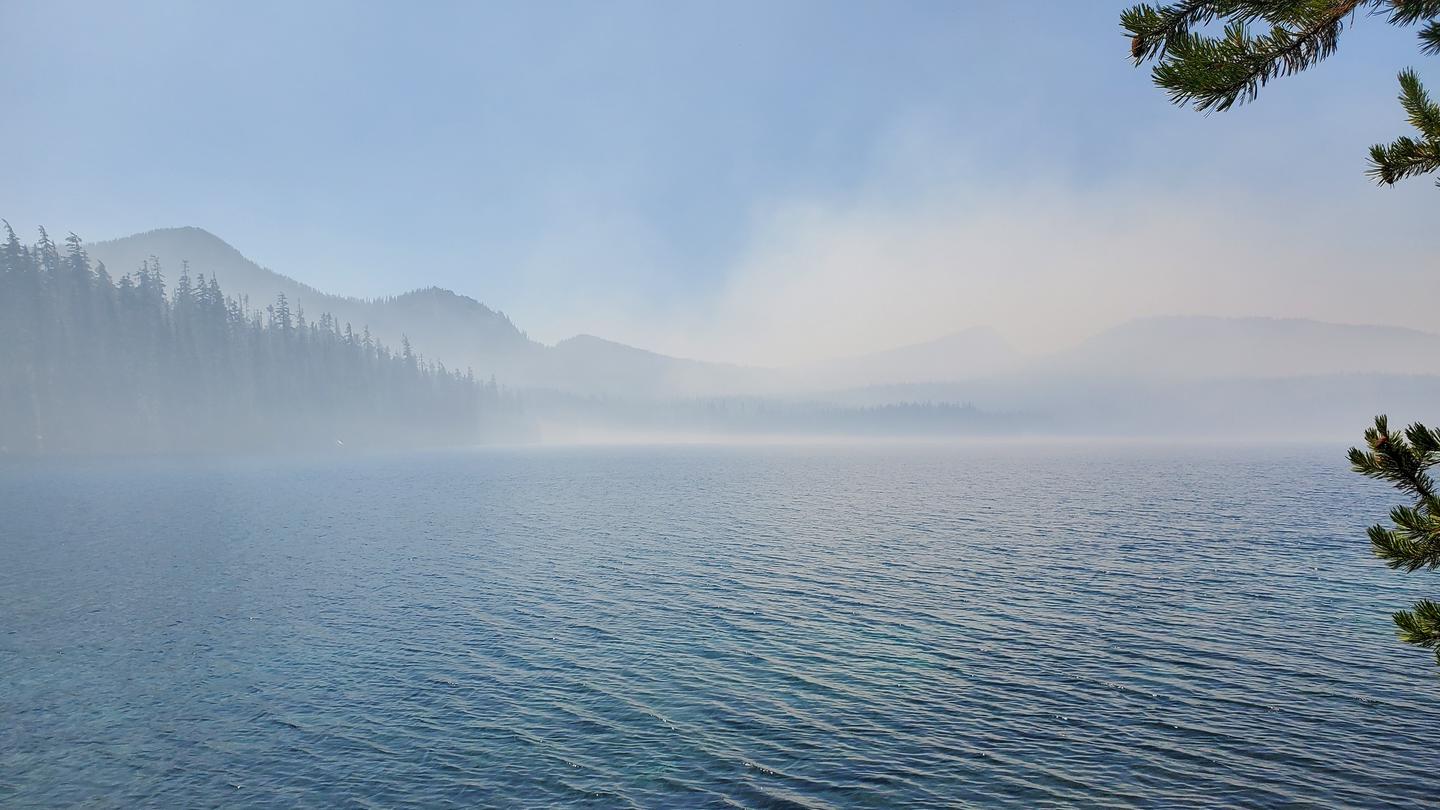
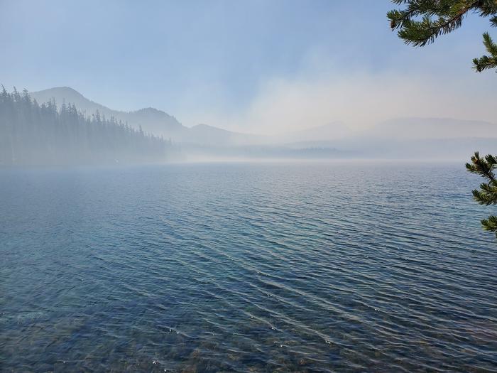
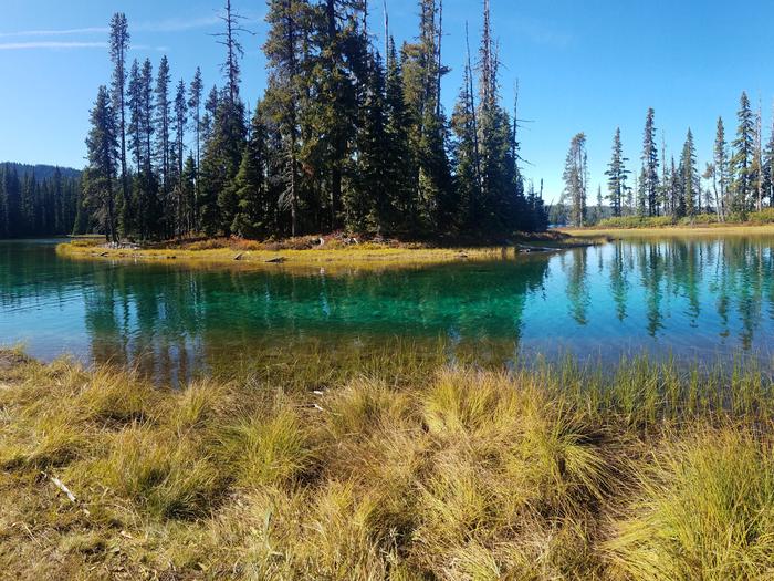
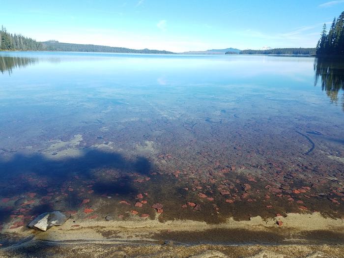
Overview Shadow Bay Campground rests on the shores of Waldo Lake in a forest of towering conifers. This large recreation area provides plenty of things to see and do like sailing, canoeing, fishing and swimming. Recreation Waldo Lake is circled by the Jim Weaver Loop, a 22-mile hiking and biking trail. The Shoreline Trail lines the lakeside of the campground and takes hikers and bikers to a network of other trails. From there, hikers can continue into the Waldo Lake Wilderness, but mountain bikers are not allowed in Wilderness. The lake offers boating and swimming. A boat ramp is located on-site. Facilities This 92 site campground is less busy than its neighboring campground, North Waldo, resulting in a quieter atmosphere. Nineteen sites are reservable. Garbage containers and gray water disposal areas are available at the campground. Natural Features Shadow Bay Campground is located on a large bay at the south end of Waldo Lake. It is considerably wetter than either North Waldo or Islet Campground, supporting a more diverse and prolific ground cover, and also more mosquitos. Situated high on the western slopes of the Oregon Cascades at 5,400 feet in elevation, Waldo Lake is one of the purest lakes in Oregon (9.8 square miles with a maximum depth of 427 feet). It has no permanent inlet to bring nutrients into the lake for plant growth. The lack of plant life contributes to its purity, allowing you to see to depths of 120 feet on a calm day. Nearby Attractions Explore Waldo Lake and surrounding hiking trails for views of the snow-capped North, Middle and South Sisters, three of the seven major peaks in Willamette National Forest.
From the managing agency.
Is SHADOW BAY free?
We do not have a fee on record for SHADOW BAY. Confirm the cost locally before you go.
How do I get to SHADOW BAY?
SHADOW BAY is at 43.6931, -122.0417. We do not hold written directions for this one, so navigate to the coordinates.
Nearby
SourceSource data is agency published. Last synced September 19, 2026. Community reports and photos are submitted by travelers and are not verified by the agency.
