
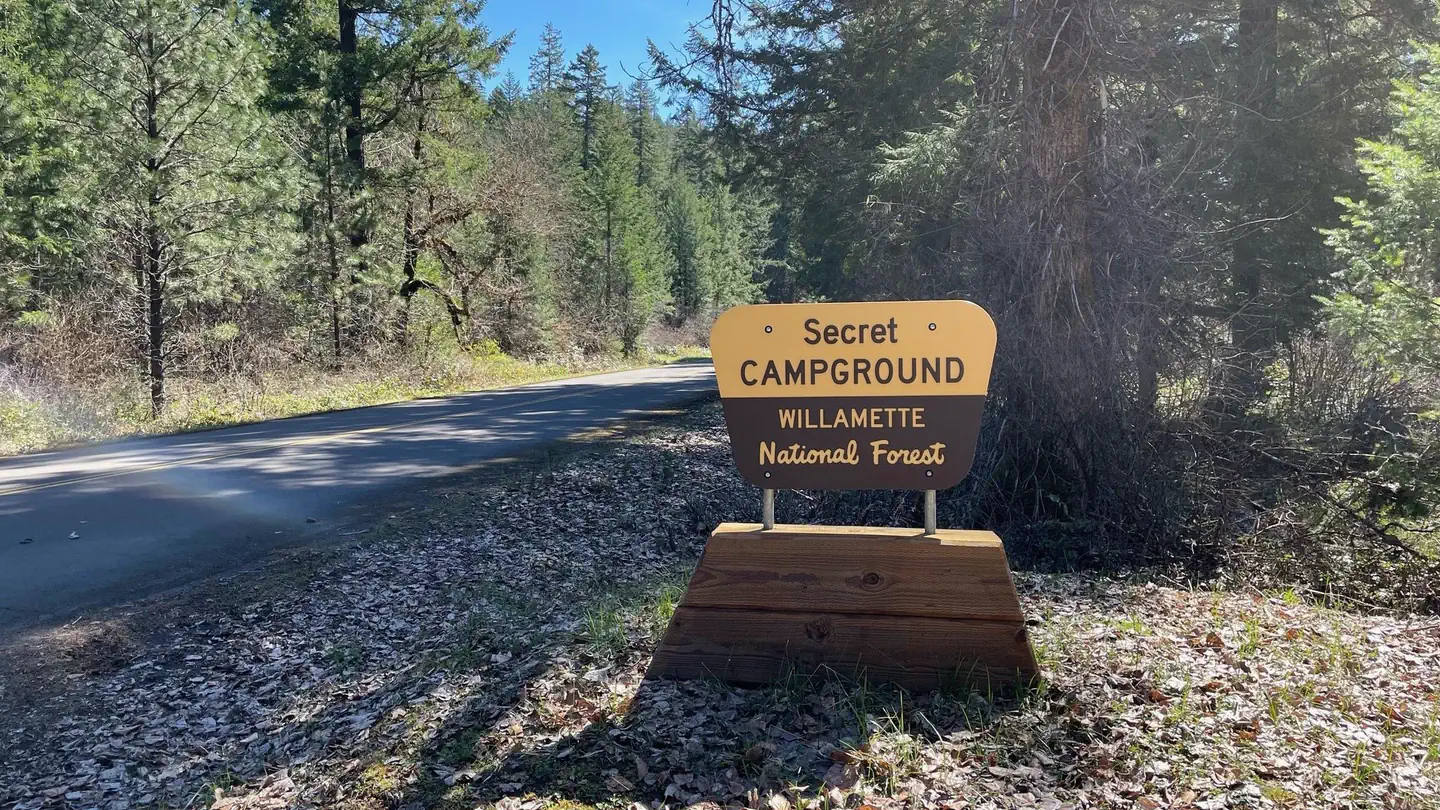
Secret
Campground · Fee not listed
Fast facts
- Cost
- Not listed. Check locally.
- Type
- Campground
- Phone
- N/A
- Nearest dump station
- Aspen Point Dump Station · 78.9 mi
- Coordinates
- 43.5148, -122.4412
- Last verified
- September 19, 2026
About this place
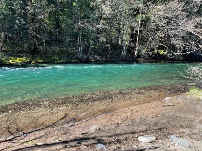
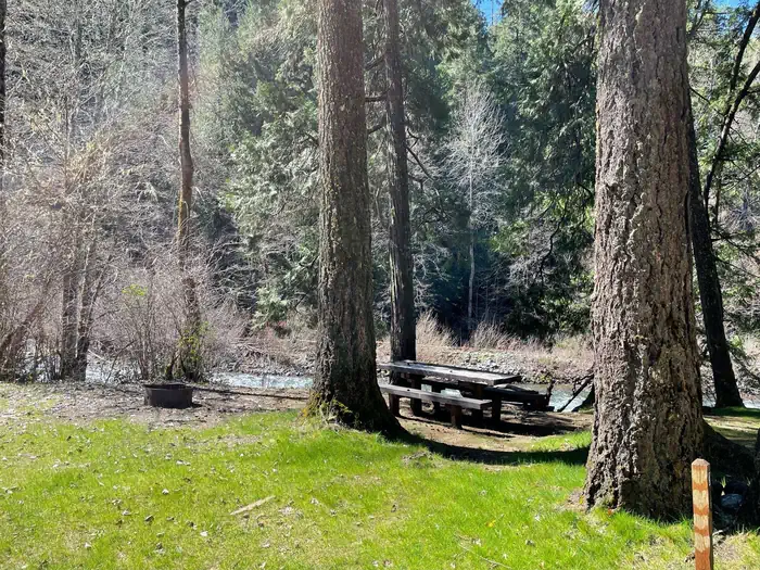
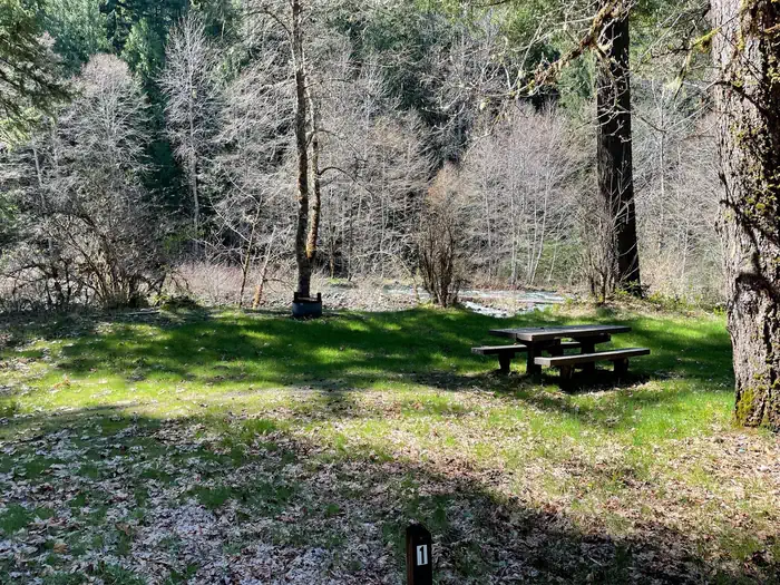
Overview This small campground is now a group site and is well-screened from Forest Service Road 21. The Middle Fork Willamette River is directly adjacent to some of the sites. Popular activities include fishing, hiking, mountain biking, and horseback riding. The nearby Middle Fork National Recreation Trail cna be easily accessed from the campgound. Please note that special fishing regulations apply to this section of the Middle Fork; refer to the Oregon Department of Fish and Wildlife regulations for the most up-to-date information. Recreation This site has diverse recreation opportunities located nearby that allow everyone in the group to experience the forest in their own preferred way. Activities such as kayaking, paddle boarding, and boating are available on the Middle Fork as well as Hills Creek Reservoir. Fishing opportunities also abound, but be sure to research the fishing restrictions for the local area before arriving. Nearby trails offer scenic views for hikers, mountain bikers, and equestrians. Facilities The campground has one communal restroom as well as regular trash service. Natural Features This secluded campground has several well-shaded campsites along the edge of the Middle Fork River. The river as well as Hills Creek Reservoir offer scenic vistas, as well as the nearby Young's Rock, Larrison Rock, and Chuckle Springs. Nearby Attractions Middle Fork River, Hills Creek Reservoir, Young's Rock, Larrison Rock, Chuckle Springs, Indigo Springs
From the managing agency.
Is Secret free?
We do not have a fee on record for Secret. Confirm the cost locally before you go.
How do I get to Secret?
Secret is at 43.5148, -122.4412. We do not hold written directions for this one, so navigate to the coordinates.
Nearby
SourceSource data is agency published. Last synced September 19, 2026. Community reports and photos are submitted by travelers and are not verified by the agency.
