
Sacandaga
Campground · Fee not listed
Fast facts
- Cost
- Not listed. Check locally.
- Type
- Campground
- Phone
- N/A
- Nearest dump station
- Aspen Point Dump Station · 77.0 mi
- Coordinates
- 43.4964, -122.3283
- Last verified
- September 19, 2026
About this place
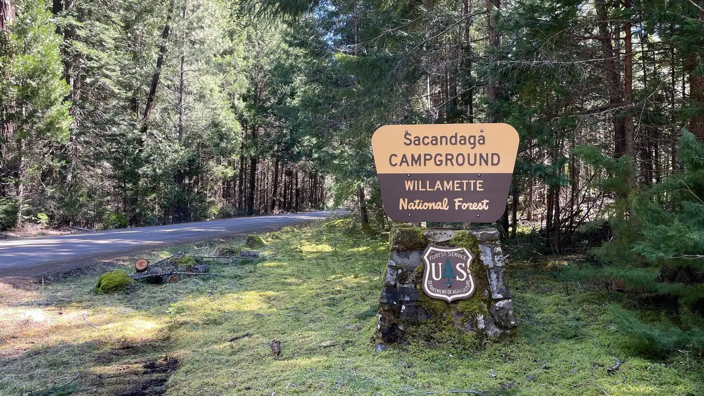
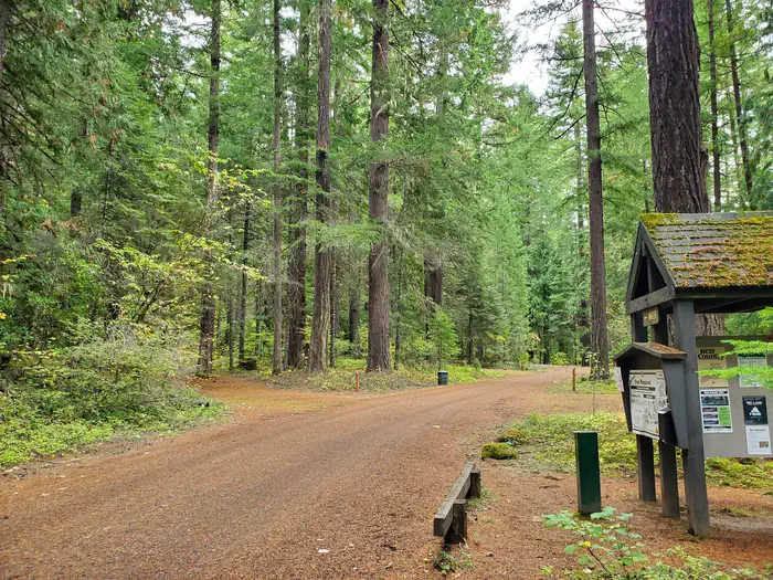
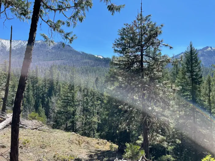
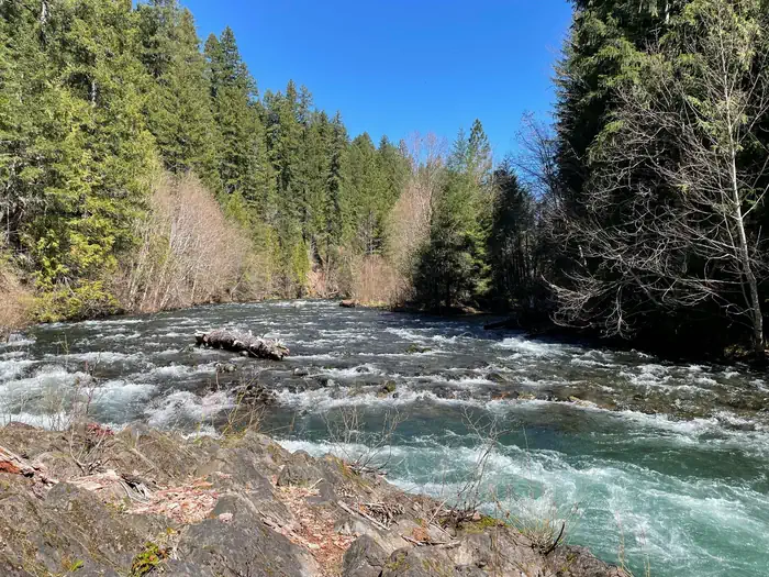
Overview This location has seven reservable sites and the rest are available on a first-come, first-served basis only. Sites must be reserved online five days before the start of the reservation. Any sites that have not been reserved can be used as first-come, first-serve, but users must be prepared to move sites within the campground if a reservation holder arrives and to claim the site. Visitors are required to physically arrive at the campground to purchase and claim a first-come, first-serve site. Once on-site, you may be able to pay for your campsite(s) using cash or by scanning a QR code using the Recreation.gov mobile app, and the Scan and Pay feature. If this option is available, you will need to first download the free Recreation.gov mobile app https://www.recreation.gov/mobile-app prior to your arrival as some remote areas have limited or no cellular service. Recreation Two short hiking trails are available within the campground and fishing is available in the nearby Middle Fork River. Other opportunities for hiking, mountain biking, and horseback riding are available nearby at places such as Young's Rock, Chuckle Springs, and Indigo Springs, or along the nearby Middle Fork National Recreation Trail. Facilities The campground has two communal bathrooms, regular trash service, and potable water available via handpump. Natural Features This campground is on the bank of the Middle Fork River, surrounded by towering Douglas fir and pine trees. Many peaks and springs are nearby and offer scenic vistas. Nearby Attractions Middle Fork River, Young's Rock, Chuckle Springs, Indigo Springs, Timpanogas Lake, Diamond Peak Wilderness
From the managing agency.
Is Sacandaga free?
We do not have a fee on record for Sacandaga. Confirm the cost locally before you go.
How do I get to Sacandaga?
Sacandaga is at 43.4964, -122.3283. We do not hold written directions for this one, so navigate to the coordinates.
Nearby
SourceSource data is agency published. Last synced September 19, 2026. Community reports and photos are submitted by travelers and are not verified by the agency.
