
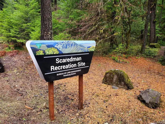
Scaredman Recreation Site
BLM · Campground · Fee
Fast facts
- Cost
- Fee charged
- Managed by
- BLM
- Type
- Campground
- Phone
- 541-440-4930
- Nearest dump station
- Aspen Point Dump Station · 74.2 mi
- Coordinates
- 43.3799, -122.7614
- Last verified
- September 19, 2026

About this place
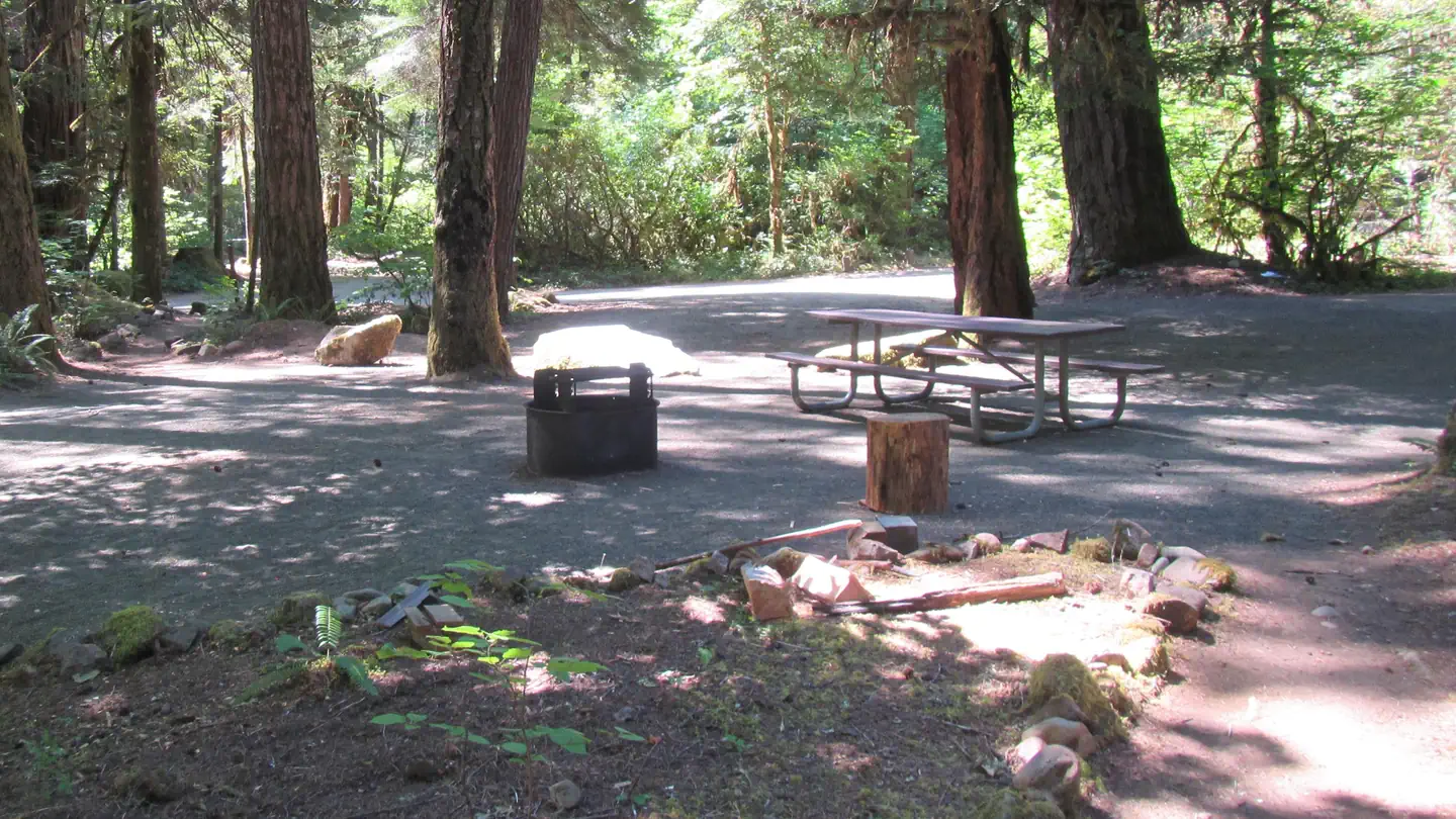
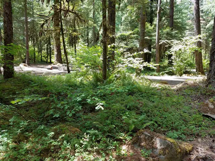
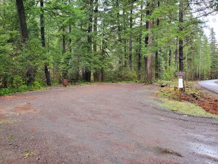
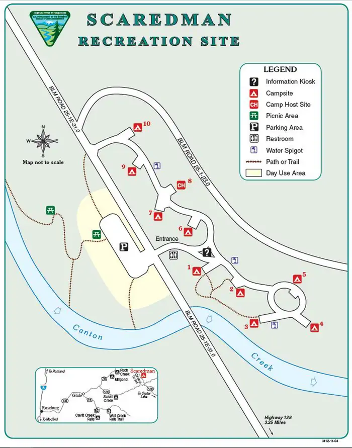
Overview Reservations must be made 5 days prior to arrival. Disregard the "FF" (First-Come-First-Serve) availability. We do not allow on-site transactions. Drinking water is currently unavailable from spigots within the campground. Off the beaten path, this minimally developed campground along Canton Creek features riverside picnic sites, drinking water spigots, and a vault restroom facility. Nearby, there are several outstanding undeveloped swimming holes along both Canton and Steamboat Creeks. Canton Creek and Steamboat Creek are closed to all angling. Just 3 miles downstream from Scaredman, the North Umpqua River offers world-class fly-fishing. Recreation Picnicing, relaxing, and swimming are the primary recreation activites taking place at Cavitt Creek Recreation Site. Fishing and whitewater rafting activites can take place just 3 miles downstream on the North Umpqua River. Facilities Scaredman has 10 campsites with tables and fire rings. Drinking water is currently unavailable from spigots within the campground. A vault toilet on site. Campers will also have access to the riverside day-use area. Natural Features The recreation site is remote in heavily wooded area of different species. The campground and day-use area are at 1390' along a creek and many waterfalls, rivers, and forests are in the surrounding region. Nearby Attractions Within a short drive from the campground you can have opportunities for day of rafting on the North Umpqua, fishing, hiking, viewing waterfalls, or driving along the Rogue - Umpqua National Scenic Byway. Just 3 miles downstream from Canton Creek is Steamboat Creek, a short tributary of the North Umpqua River, that can provide many opportunites for swimming.
From the BLM.Official page
Is Scaredman Recreation Site free?
No. Scaredman Recreation Site charges a fee. It is managed by the BLM.
How do I get to Scaredman Recreation Site?
Scaredman Recreation Site is at 43.3799, -122.7614. We do not hold written directions for this one, so navigate to the coordinates.
Nearby
SourceData from the BLM. Last synced September 19, 2026. Community reports and photos are submitted by travelers and are not verified by the agency.
