
Rock Creek Campground (Deschutes National Forest, OR)
Campground · Fee not listed
Fast facts
- Cost
- Not listed. Check locally.
- Type
- Campground
- Phone
- 541-323-1746
- Nearest dump station
- Aspen Point Dump Station · 97.4 mi
- Coordinates
- 43.7681, -121.8342
- Last verified
- September 19, 2026
About this place
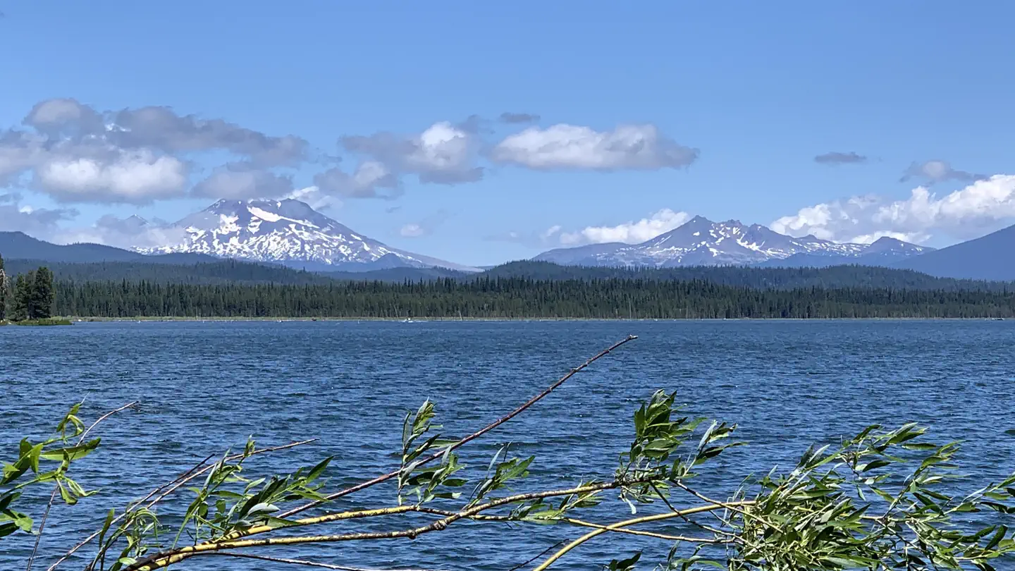
Overview Rock Creek Campground is located on the western shore of Crane Prairie Reservoir along the Cascade Lakes Highway. Recreation Crane Prairie Reservoir is known for fishing and boating opportunities. The Oregon Department of Fish and Wildlife manages populations of rainbow trout, mountain whitefish, brook trout and largemouth bass. Fish cleaning stations and a boat ramp are within the campground. Facilities Located just off the Cascade Lakes Highway, Rock Creek Campground is spread out along the western shores of Crane Prairie Reservoir. Almost all the sites are large and isolated from the other sites, and many are located right on the shore of the lake. This facility has a boat ramp offering access to Crane Prairie Reservoir. Boat launch parking is for day use only and requires a recreation fee separate from camping fees. Natural Features Crane Prairie Reservoir is a great spot for viewing a variety of wildlife. Sandhill cranes, bald eagles and osprey frequent the area. The adjacent forest is home to black-backed woodpecker, Williamson's sapsucker and mountain chickadee. On summer mornings or evenings, visitors may glimpse Rocky Mountain elk grazing the lakeside meadows. Deer, squirrel, beaver and an occasional black bear also find habitat in the surrounding forest. Nearby Attractions Nearby Osprey Point is a unique interpretive area where visitors can observe osprey nesting platforms erected after natural snags toppled from age. Visitors enjoy traveling the Cascade Lakes Scenic Byway which climbs 66-miles through the Cascade Range, weaving past snow-capped peaks and alpine lakes. Charges & Cancellations Once your reservation start date has begun, neither the Recreation.gov Contact Center nor the campground manager will be able to modify your reservation.
From the managing agency.
Is this site free?
We do not have a fee on record for this site. Confirm the cost locally before you go.
How do I get to this site?
this site is at 43.7681, -121.8342. We do not hold written directions for this one, so navigate to the coordinates.
Nearby
SourceSource data is agency published. Last synced September 19, 2026. Community reports and photos are submitted by travelers and are not verified by the agency.
