
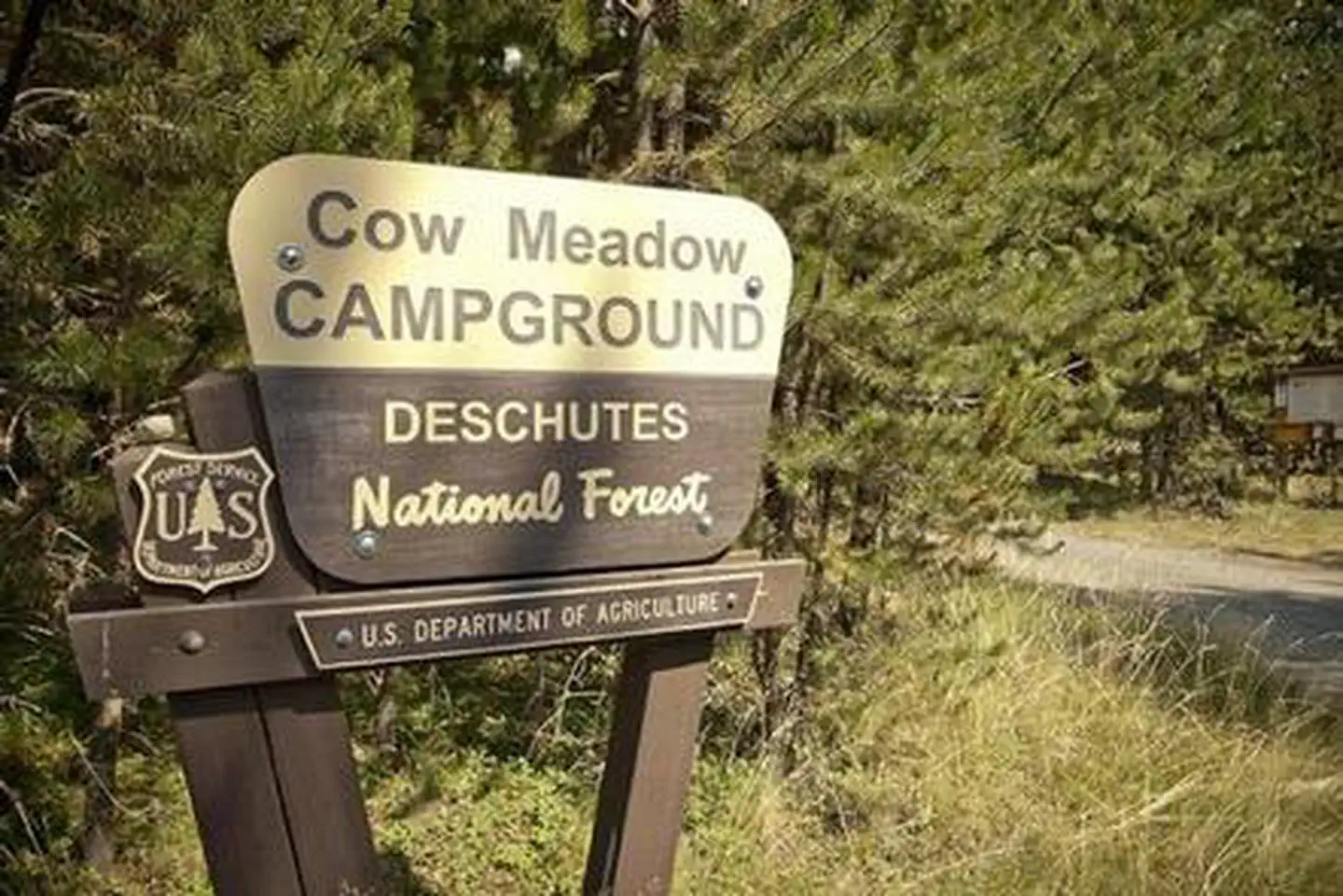
COW MEADOW CAMPGROUND
USFS · Campground · Fee
Fast facts
- Cost
- Fee charged
- Managed by
- USFS
- Type
- Campground
- Hours
- Quiet hours are 10:00 p.m. until 6:00 a.m.
- Reservations
- recreation.gov
- Phone
- 541-323-1746
- Coordinates
- 43.8132, -121.7765
- Last verified
- September 19, 2026
About this place
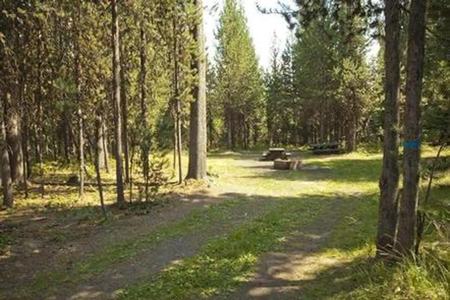
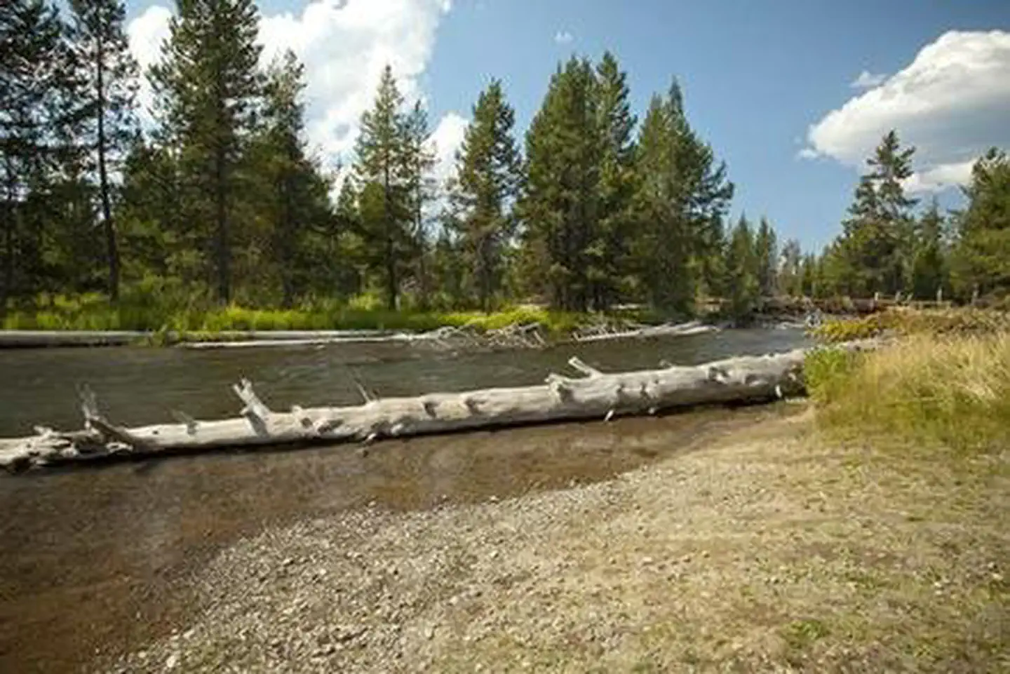
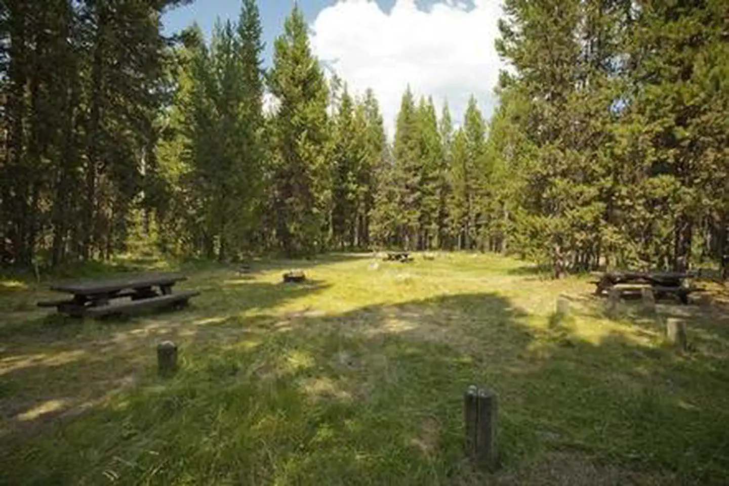
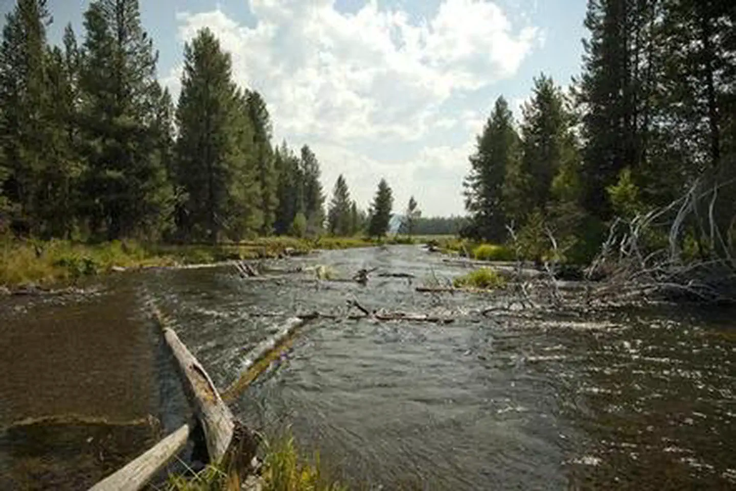
Overview Cow Meadow Campground is situated where Snow Creek and the Deschutes River flow into the northeast part of Crane Prairie Reservoir. Located just off of the Cascade Lakes Scenic Byway, Cow Meadow Campground provides great access to a wide-range of recreation opportunities, including fishing, boating and hiking. Recreation Crane Prairie Reservoir is a prime location for boating and fishing. The Oregon Department of Fish and Wildlife manages populations of rainbow trout, mountain whitefish, brook trout and largemouth bass. Both motorized and non-motorized boats are permitted on Crane Prairie; however, a 10 MPH speed limit is enforced. Facilities Cow Meadow Campground can accommodate RV, trailer or tent-campers; however, water and electric hookups are not available. This is no water at this facility so campers will need to bring their own supply. All sites are equipped with a picnic table and campfire ring with grill and have access to a vault toilet. This campground also has a boat ramp that can accommodate small boats. Natural Features Crane Prairie Reservoir is one of Central Oregon's premier wildlife viewing areas for waterfowl, including Sandhill crane, Canadian geese, bald eagles and osprey. The adjacent forest is home to black-backed woodpecker, Williamson's sapsucker and mountain chickadee. Deer, squirrel, beaver and an occasional black bear also find habitat in the surrounding forest. Nearby Attractions Nearby Osprey Point is a unique area where visitors can learn about local fauna and observe osprey nesting platforms erected after natural snags toppled from age. Visitors can explore wilderness areas, rivers, lakes and reservoirs, and hundreds of miles of hiking trails. Cow Meadow Campground offers easy access to the Cascade Lakes Scenic Byway which weaves through multiple high lakes with views of South Sister, Broken Top and Mt. Bachelor. Newberry National Volcanic Monument offers a glimpse into Central Oregon's rich geologic history. Travel 30 miles to Lava Lands Visitor Center to explore exhibits at the interpretive center, attend a ranger talk, take in scenic views from the top of Lava Butte and travel one-mile underground through Lava River Cave. Travel 45 miles to Newberry Caldera to visit Paulina and East Lake, Paulina Peak and Paulina Falls. Charges & Cancellations Once your reservation start date has begun, neither the Recreation.gov Contact Center nor the campground manager will be able to modify your reservation.
From the USFS.Official page
Is COW MEADOW CAMPGROUND free?
No. COW MEADOW CAMPGROUND charges a fee. It is managed by the USFS. Sites are reservable through recreation.gov.
How do I get to COW MEADOW CAMPGROUND?
From Bend, OR: Travel about 45 miles south on Cascade Lakes Highway (46), 0.5 mile east on Forest Road 40, then 2 miles south on Forest Road 4000-790.
What are the rules at COW MEADOW CAMPGROUND?
Maximum site spur length is 26 feet.
Nearby
- Crane Prairie Campground1.4 mi
- CULTUS CORRAL HORSE CAMP1.4 mi
- CULTUS LAKE CAMPGROUND3.3 mi
- QUINN RIVER CAMPGROUND3.5 mi
- Deschutes Bridge Campground4.0 mi
- Cultus Lake Boat In - Little Cove Campground4.2 mi
- Little Cove Boat-in Campground4.2 mi
- Rock Creek Campground (Deschutes National Forest, OR)4.2 mi
No other services within 50 mi on the record.
SourceData from the USFS. Last synced September 19, 2026. Community reports and photos are submitted by travelers and are not verified by the agency.
