
MINERS RETREAT
Campground · Fee not listed
Fast facts
- Cost
- Not listed. Check locally.
- Type
- Campground
- Phone
- 541-427-3231
- Nearest dump station
- Bull Prairie Campground · 58.5 mi
- Coordinates
- 44.7966, -118.4981
- Last verified
- September 19, 2026
About this place
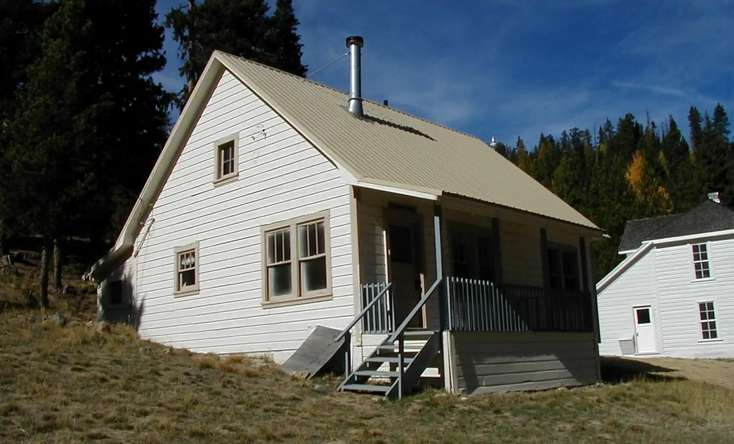
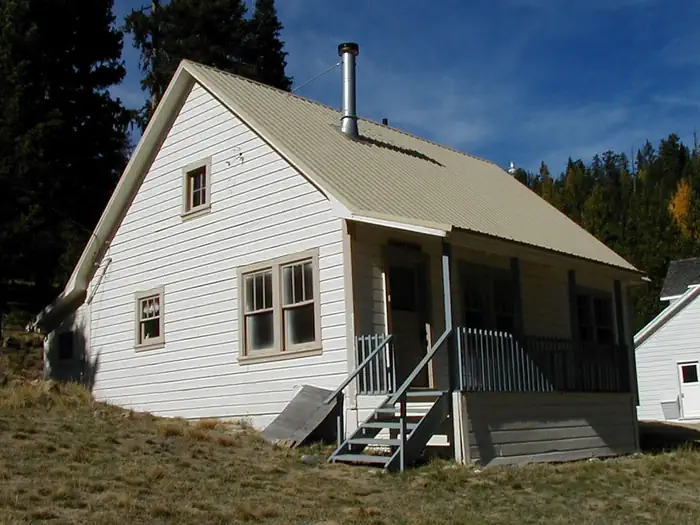
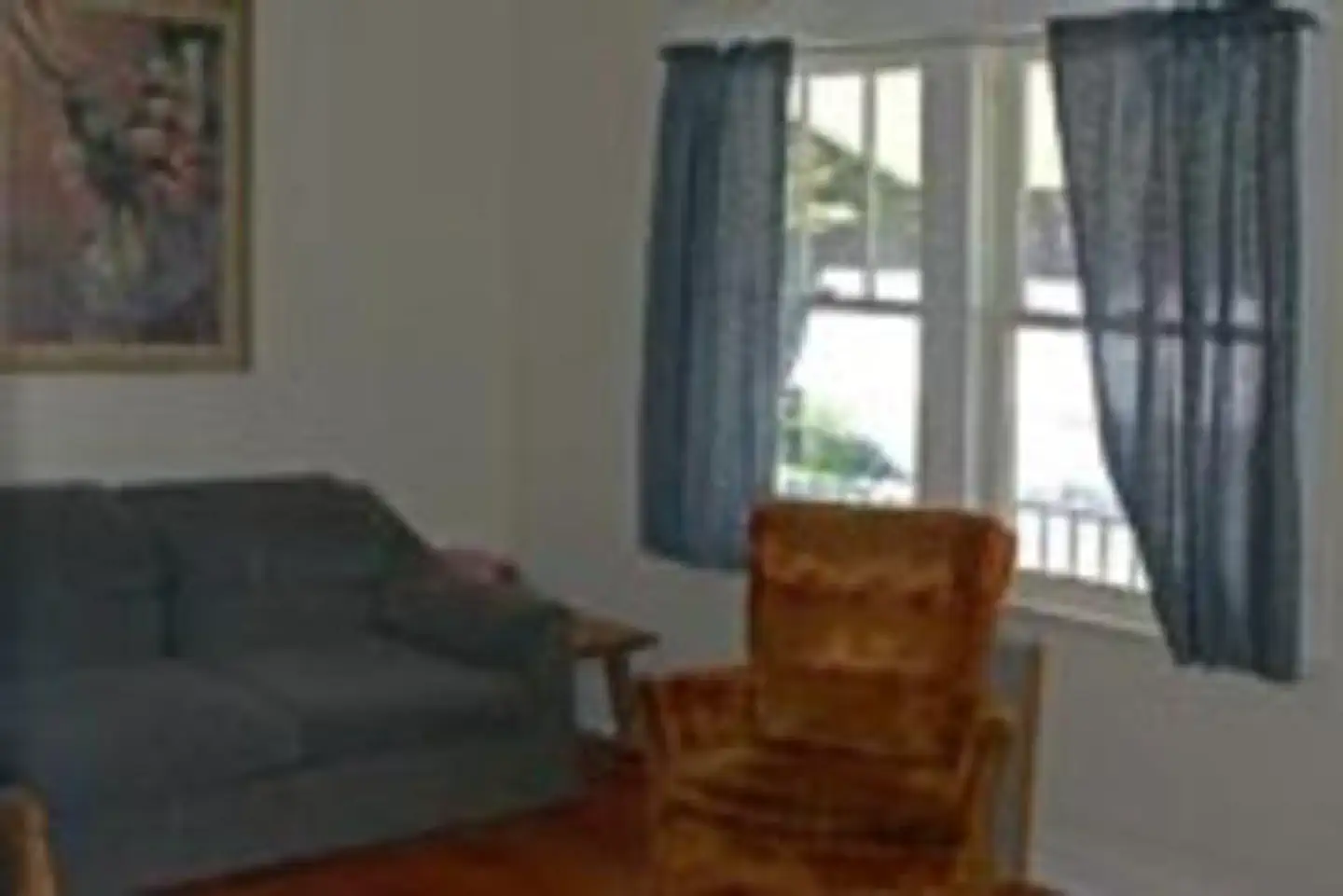
Overview Miner's Retreat is an old Forest Service cabin that allows guests to relax in the outdoors and also step back in time to when the cabin was used during the bygone gold mining days. Miner's Retreat is part of the Fremont Powerhouse complex, a hub for mining built in the early 1900s. It is one of four cabins located at the site near the town of Granite, and provides great flexibility for larger groups. The surrounding valleys once teemed with mining activity, primarily gold. The Fremont Powerhouse was built in 1908 as an economical method for mining. Two dams were constructed at Olive Lake, and water from the lake was piped through an 8-mile wood and steel pipeline to the powerhouse to generate electricity. Homes were constructed to shelter workers who monitored the pipeline. Today, these same shelters are where visitors can stay overnight. The cabin is uphill from the Fremont Powerhouse, flanked by Caretakers Cabin and Hilltop Hideaway. Winter access may require skis, snowshoes or snowmobiles. Click here for a virtual tour of the area. Recreation Guests can hike on trails into the North Fork John Day Wilderness or go mountain biking on forest roads. A drive along the Blue Mountain Scenic Byway is a treat, as are other activities like huckleberry and mushroom picking, bird watching, wildlife viewing and photographing the vast landscape. Nearby Olive Lake offers boating, fishing and swimming. Facilities This cozy little cabin offers a covered front porch and features two bedrooms, a full bath with hot and cold running water (during the summer months only) and a kitchen and living room. The cabin has electric lights throughout and is heated with electric wall heaters. The cabin sleeps up to six and is fully furnished with beds, a couch and a table with chairs. The kitchen is equipped with an electric stove and oven, refrigerator and a variety of utensils, such as skillets, a coffee pot, glasses, cups, dishes and silverware. Cleaning supplies are also provided. Guests must bring sleeping bags or bedding, a flashlight, first aid kit, washcloths, towels and dish soap, among other general camping supplies. Click here for more cabin details. Natural Features The cabin sits at an elevation of about 5,000 feet, on a hillside overlooking the expansive Umatilla National Forest near the North Fork John Day Wilderness. A grassy lawn in front leads to the other three cabins in the area. The forest lies in the Blue Mountains and is home to Ponderosa pine and Douglas fir. Birds in the area include the black-backed woodpecker, American kestrel and the Boreal owl. Black bear, elk and deer are among the native land mammals. Click here to learn about bear safety. Nearby Attractions The cabin is located less than 6 miles from Granite, Oregon, a ghost town that once bustled with prospectors and pioneers. The town provides groceries and fuel.
From the managing agency.
Is MINERS RETREAT free?
We do not have a fee on record for MINERS RETREAT. Confirm the cost locally before you go.
How do I get to MINERS RETREAT?
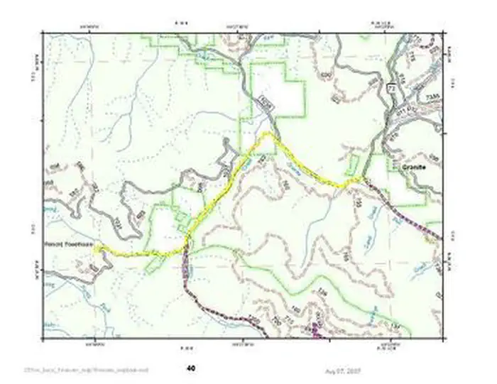
MINERS RETREAT is at 44.7966, -118.4981. We do not hold written directions for this one, so navigate to the coordinates.
Nearby
SourceSource data is agency published. Last synced September 19, 2026. Community reports and photos are submitted by travelers and are not verified by the agency.
