
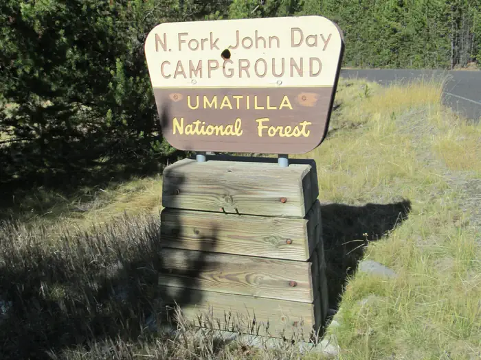
North Fork John Day Campground (OR)
Campground · Fee not listed
Fast facts
- Cost
- Not listed. Check locally.
- Type
- Campground
- Phone
- (541) 427-3231
- Nearest dump station
- Bull Prairie Campground · 62.0 mi
- Coordinates
- 44.9145, -118.4028
- Last verified
- September 19, 2026
About this place
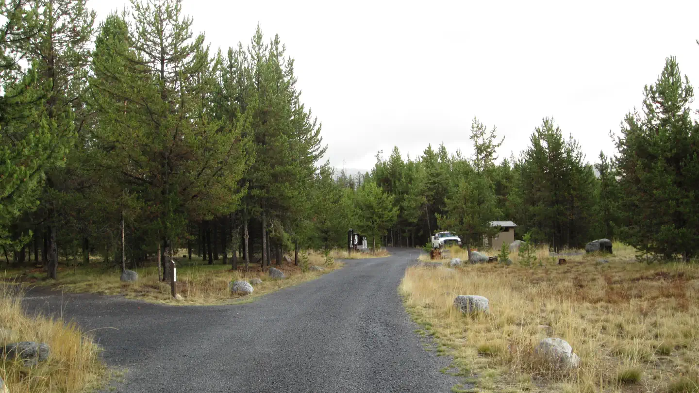
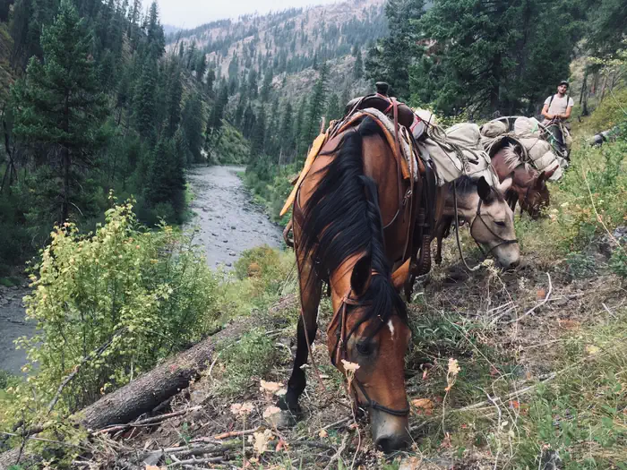
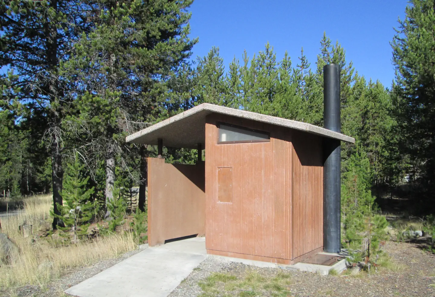
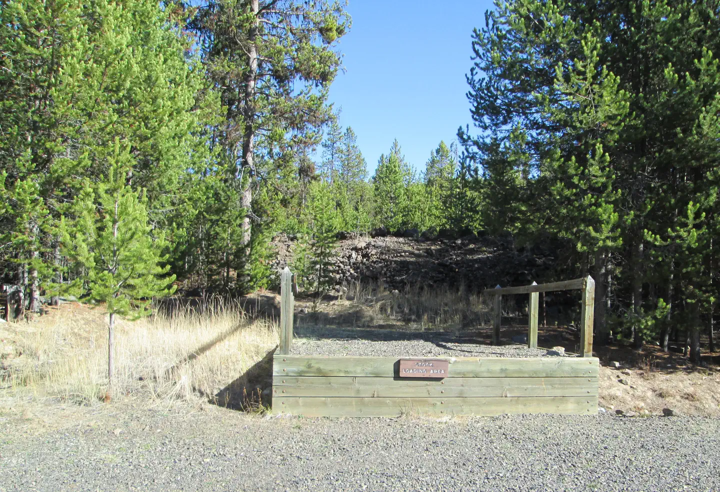
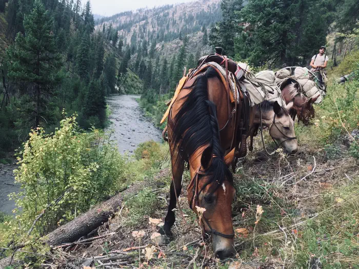
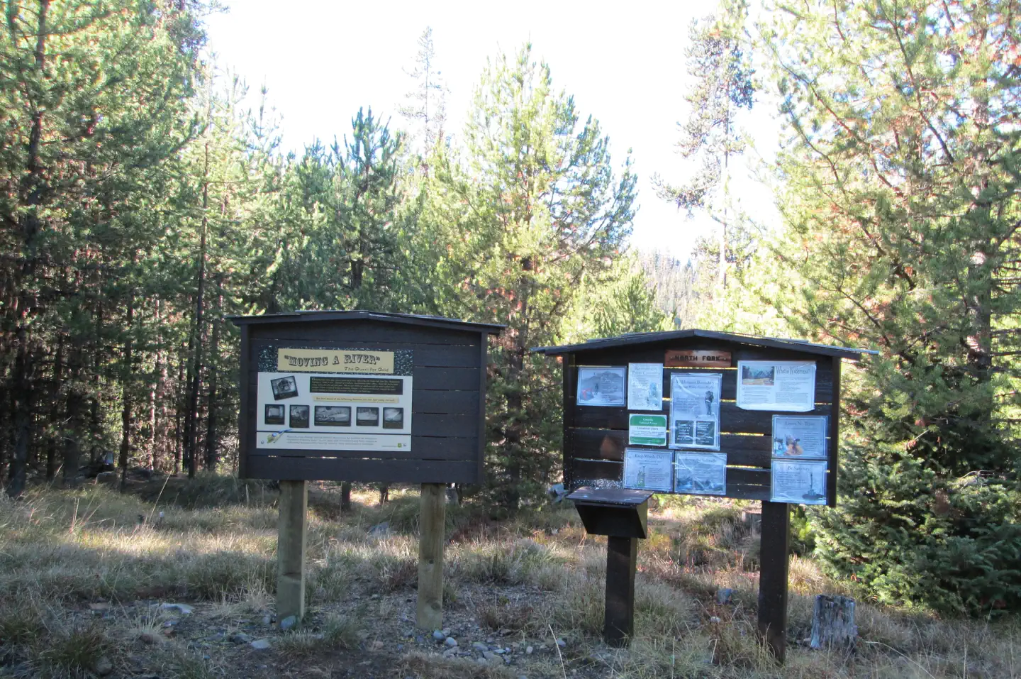
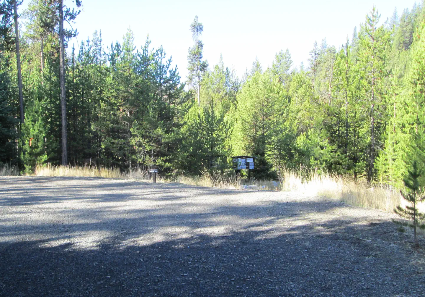
Overview This campground sits along the Wild and Scenic North Fork John Day River at the junction of the Blue Mountain and Elkhorn Scenic Byways. It features 20 campsites, 3 accessible toilet facilities, and stock handling facilities. There is no potable water or garbage service, so please pack your garbage home. This campground serves as the eastern access point to the North Fork John Day Wilderness via North Fork John Day River Trail #3022. The area offers hunting, fishing, hiking, horseback riding, berry and mushroom picking, sight-seeing, and photography opportunities. In spring and fall you can see the salmon spawning. Special state fishing regulations apply. If you like to drive, you can pick up the Ukiah-Granite Roadside Geology auto tour brochure from the camp host or the Ranger District. Recreation This campground serves as the eastern portal into the North Fork John Day Wilderness and offers hunting, fishing, hiking, horseback riding, sight-seeing, and photography. Berries and mushrooms can be found in season. If you like to drive, you can pick up the Ukiah-Granite Roadside Geology auto tour brochure from the camp host or the Ranger District office. if you are interested in history, there are numerous remnants of mining left from the turn of the century, Remember, historic objects, even if they look like trash, are protected by law and may not be removed. Facilities This campground features 14 tent/rv campsites, 5 tent only campsites, 1 group campsite, 3 accessible vault toilets, and stock handling/holding facilities (stock is only permitted in the north half of the campground from sites 10-16). There is no potable water or garbage service, so please pack your garbage home. Natural Features The campground is set amidst a lodgepole pine forest, with over half of the sites in the shade. The perennial North Fork John Day River runs adjacent to the campground where you can see spawning steelhead and chinook salmon in spring and fall. In the surrounding forests live coyotes, deer, elk, wolves, bear, and cougar, plus a myriad of small animal species. Nearby Attractions The historic mining town of Granite is 9 miles south. State of Oregon Parks has a restored dredge that can be toured in the town of Sumpter, 22 miles south. Olive Lake is 21 miles south and west of the campground, and offers fishing , crawfishing, swimming, motorized boating (no wake allowed) and nearby trails for hiking/horseback riding (horses are not allowed in the campground). The lake-turned-reservior was constructed as part of a hydroelectric system to support gold mining activities in the northern Blue Mountain Region in the early 1900's. Historically, water from the lake flowed through a wooden pipeline for 9 miles to the Fremont Powerhouse, where it was used to produce electricity for mines and towns. The Powerhouse is approximately 14 miles south and west of the NFJD Campground on the same road that accesses Olive Lake.
From the managing agency.
Is this site free?
We do not have a fee on record for this site. Confirm the cost locally before you go.
How do I get to this site?
this site is at 44.9145, -118.4028. We do not hold written directions for this one, so navigate to the coordinates.
Nearby
SourceSource data is agency published. Last synced September 19, 2026. Community reports and photos are submitted by travelers and are not verified by the agency.
