
Middle Fork Campground
USFS · Campground · Fee
Fast facts
- Cost
- Fee charged
- Managed by
- USFS
- Type
- Campground
- Hours
- Check in: 2:00 p.m.; Check-out: 12:00 p.m.; Quiet hours are 10:00 p.m. until 6:00 a.m.
- Reservations
- recreation.gov
- Nearest dump station
- Bull Prairie Campground · 57.3 mi
- Coordinates
- 44.6301, -118.6056
- Last verified
- September 19, 2026
About this place
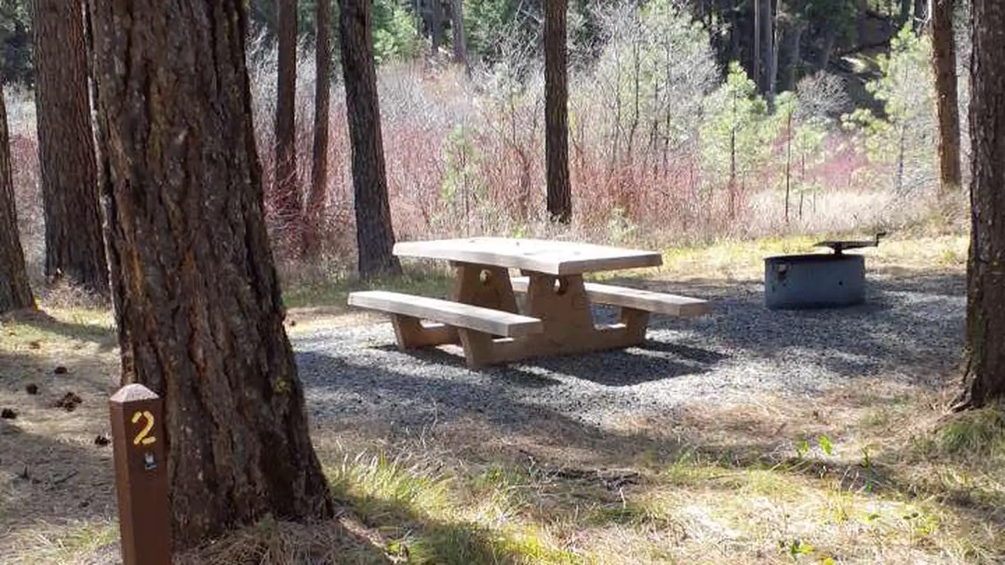
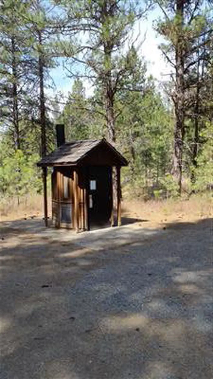
Overview This small campground along the Scenic Middle Fork of the John Day River set back amongst beautiful ponderosa pine trees is a great spot for fishing and viewing spawning steelhead in the fall. The campground is a good starting point for hunters, hikers and those wishing to see beautiful scenery, wildlife and wildflowers. The campground sets just off of the county road allowing for easy access to all variety of vehicles and bicycles. Recreation This campground offers excellent fishing access along the Middle Fork John Day River, along with a unique chance to view spawning steelhead during the fall months. Visitors can enjoy nearby hikes and wildlife and wildflower viewing. It also provides a great base camp for hunters. Facilities Each campsite has a picnic table, fire ring and parking for camp trailers. Accessible vault toilets are conveniently located in the middle of the campground. Natural Features Middle Fork John Day River Contact Info For facility specific information, please call (541) 575-3000. Nearby Attractions Davis Creek Trail Vinegar Hill Indian Rock Scenic Area Tempest Mine Trail Sunrise Butte Trail Princess Trail Bates State Park Austin House
From the USFS.Official page
Is Middle Fork Campground free?
No. Middle Fork Campground charges a fee. It is managed by the USFS. Sites are reservable through recreation.gov.
How do I get to Middle Fork Campground?
From the town of Prairie City, OR, travel east on US Highway 26 approximately 11 miles to the junction of US Highway 7, follow US Highway 7 for approximately 1 mile to the junction with County Road 20, junction will be on the left. Follow County Road 20 for approximately 5 miles, the campground will be on the left.
Nearby
SourceData from the USFS. Last synced September 19, 2026. Community reports and photos are submitted by travelers and are not verified by the agency.
