
Mazama Campground
Campground · Fee
Fast facts
- Cost
- $38.00
- Type
- Campground
- Season
- September 25 to June 5
- Sites
- 214 total · 214 reservable · 0 first come
- Reservations
- recreation.gov
- Nearest dump station
- Aspen Point Dump Station · 33.5 mi
- Coordinates
- 42.8686, -122.1678
- Last verified
- September 18, 2026
About this place
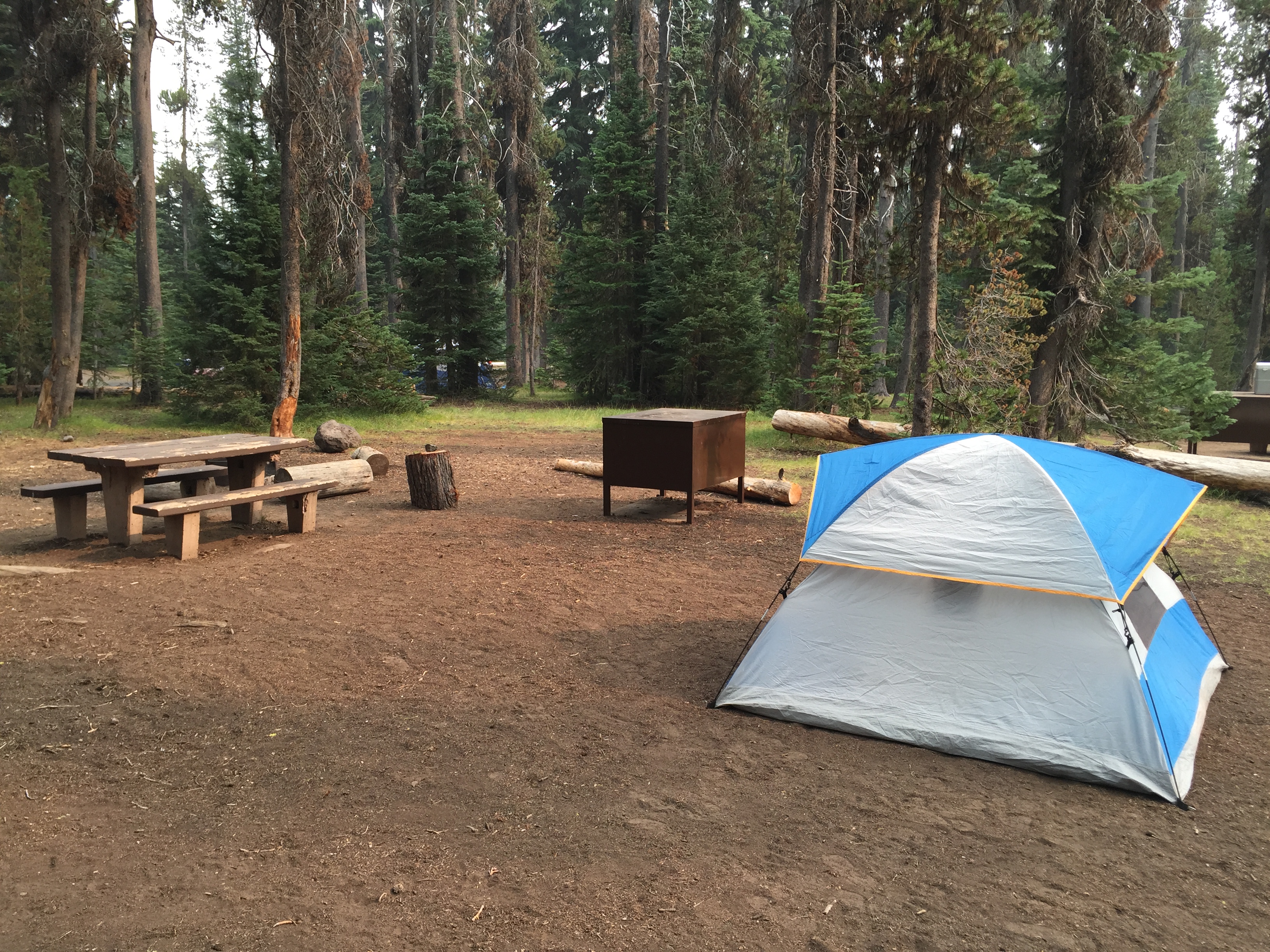
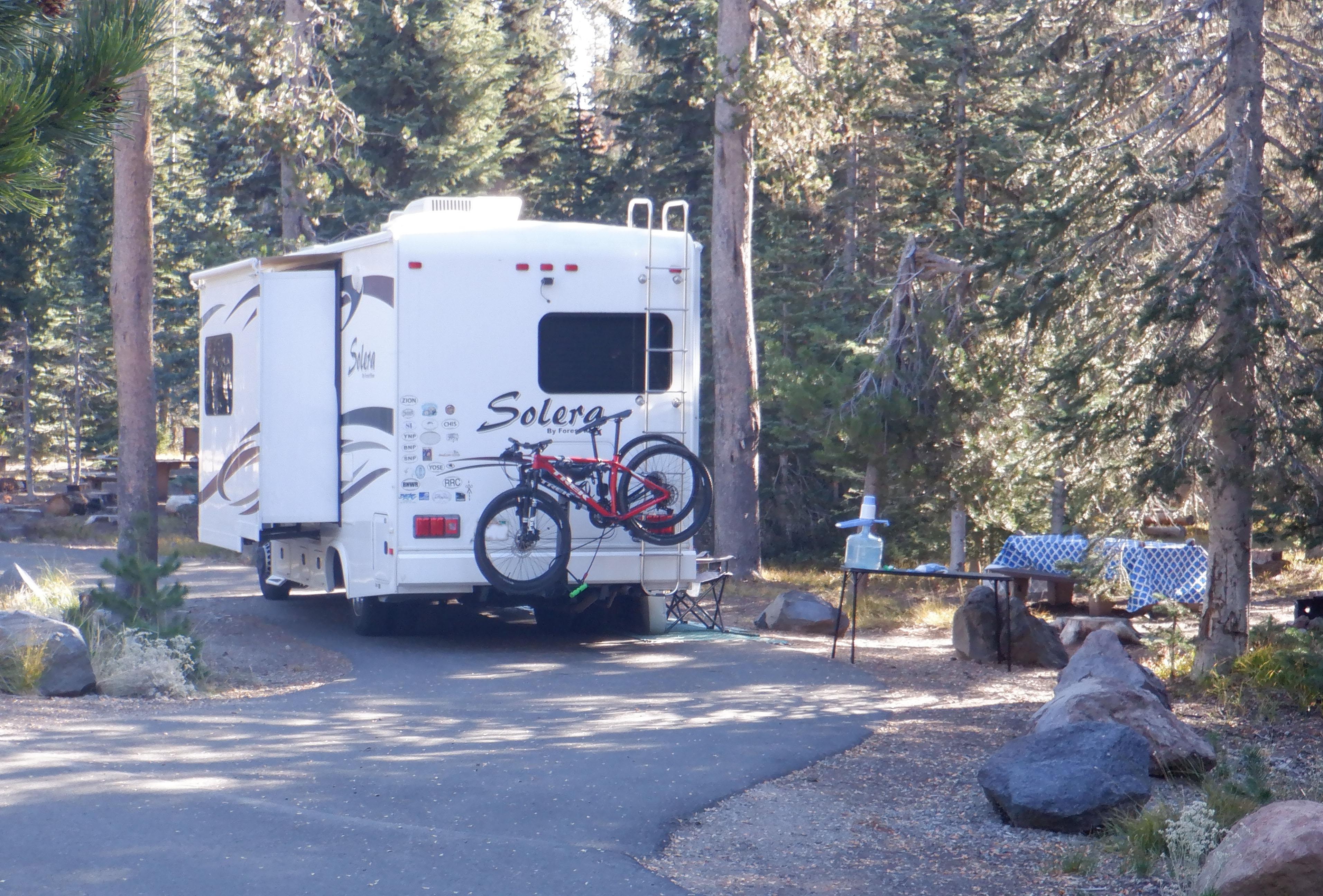
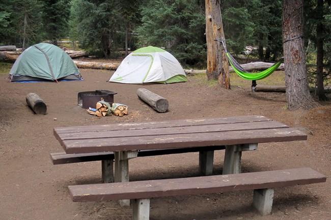
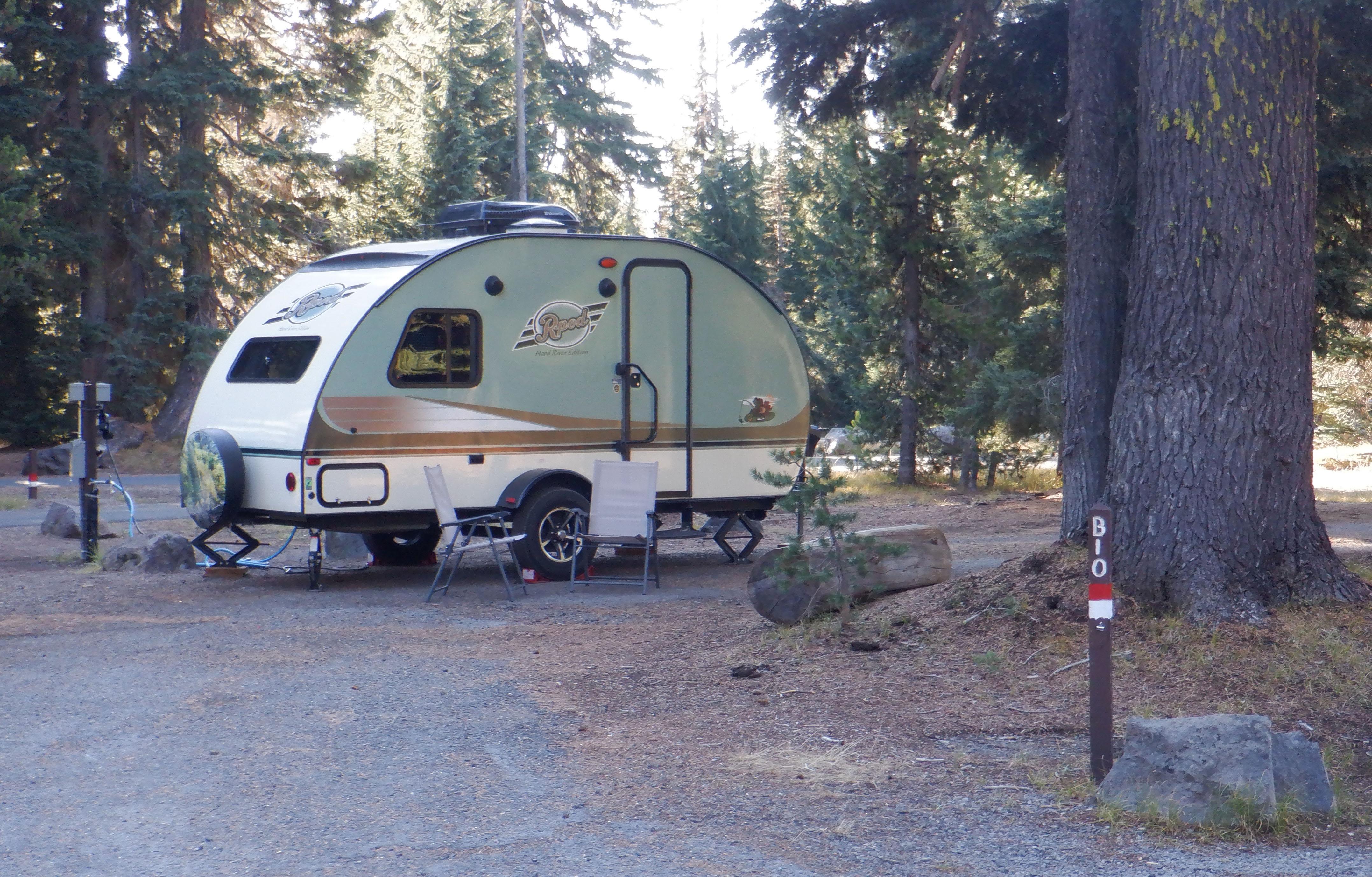
Mazama Campground is open only in summer. It typically opens in June and closes in late September. The exact opening and closing dates are determined each year by the snow level in the camp sites, safety issues, and other factors. The campground is nestled in an old-growth forest at 6,000 ft. (1,829 m) in elevation. There are 214 sites each with a picnic table, fire ring, and bear-resistant food locker. The concessioner, ExplorCraterLake, manages the campground. For more details go to reservations.
From the managing agency.Official page
Is Mazama Campground free?
No. Mazama Campground charges $38.00. 214 of its sites are reservable through recreation.gov.
Can I bring an RV to Mazama Campground?
Mazama Campground has 214 sites on record. 214 sites are reservable and 0 are first come.
When is Mazama Campground open?
The season on record runs September 25 to June 5. Dates move with weather and with the managing office, so check before a shoulder-season trip.
How do I get to Mazama Campground?
The easiest way to locate the campground is via Hwy 62 through either the West or South Entrances which meet and turn towards Crater Lake and the Annie Spring Entrance Station. The entrance to Mazama Campground is a right turn immediately past the Annie Spring Entrance Station. If you enter the park from the North Entrance Station, the campground is a left turn 7 miles from Rim Village.
What is the weather like at Mazama Campground?
From October through June, most of the park may be snow covered. Annual snowfall averages 41 ft (12.5 m). In early spring, it is typical to have 10 to 15 feet (4 meters) of snow on the ground. July, August, and September are drier and warmer. A typical daytime high temperature during these three months is around 67°F (19°C), but can range from 40°F to 80°F or more (4°C to 27°C). Temperatures cool off rapidly in the evening, with a typical nighttime low around 40°F (4°C).
What are the rules at Mazama Campground?
PETS: At the campsite, and when walking the paved areas including the road, pets must be on a 6 foot or shorter leash that is held and controlled by a person. HOURS: Check-in after 4 pm and check-out before 11 am. Generators are allowed between 8 am and 8 pm. Campground quiet hours are 10 pm to 7 am. MAXIMUM OCCUPANCY: The maximum number of people per campsite is 6 and 2 vehicles. Camping is limited to 30 days per calendar year, with no more than 14 consecutive days. FOOD STORAGE: When not in use, all of your food, garbage, cooking equipment, storage containers (e.g. ice chests), and toiletries (soaps, toothpaste, etc.) must be kept in your vehicle or in the bear-resistant locker provided at your campsite. VEHICLES AND BICYCLES: To protect the vegetation, please keep all vehicles including motorcycles, trailers, and autos on paved surfaces. Ride bicycles on the road not between campsites or on trails.
Nearby
SourceSource data is agency published. Last synced September 18, 2026. Community reports and photos are submitted by travelers and are not verified by the agency.
