
KELSAY VALLEY HORSE CAMP
USFS · Campground · Fee
Fast facts
- Cost
- Fee charged
- Managed by
- USFS
- Type
- Campground
- Reservations
- fs.usda.gov
- Phone
- 541-498-2531
- Nearest dump station
- Aspen Point Dump Station · 64.7 mi
- Coordinates
- 43.3179, -122.0970
- Last verified
- September 19, 2026
About this place
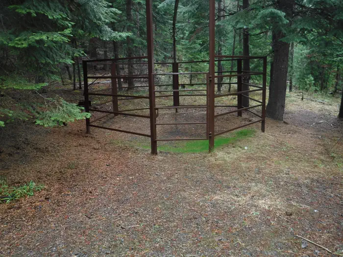
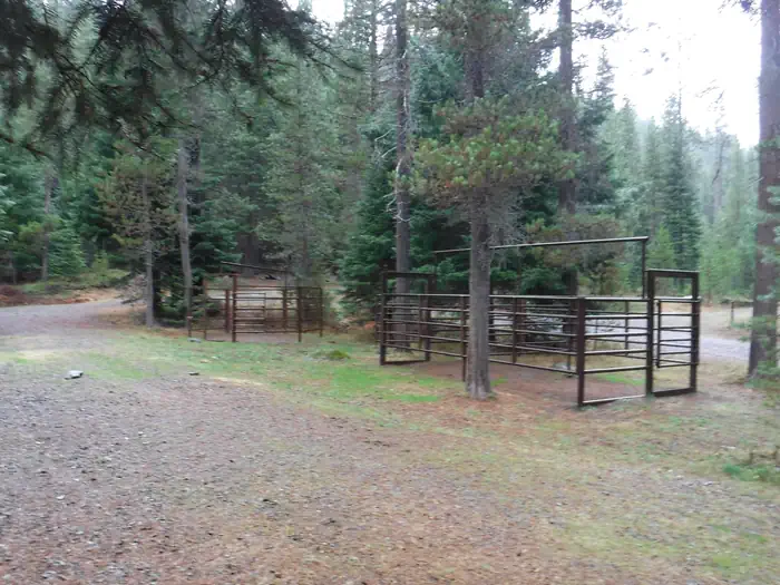
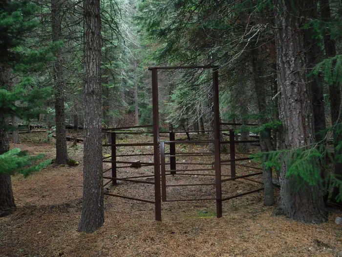
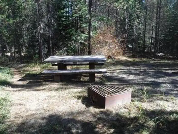
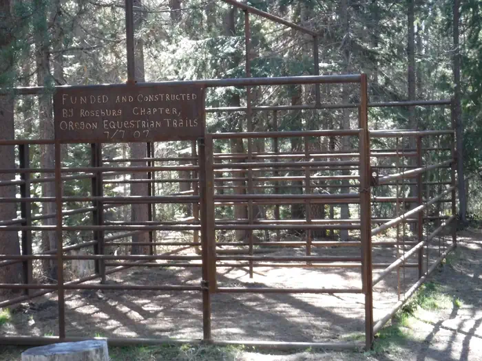
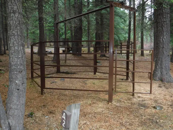
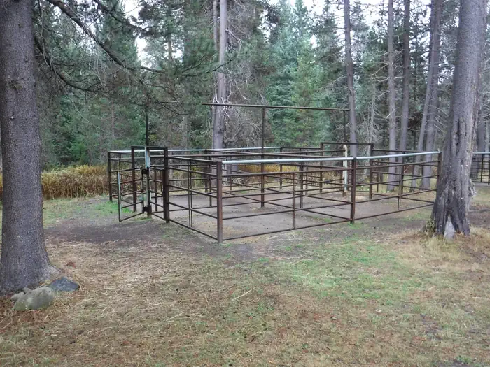
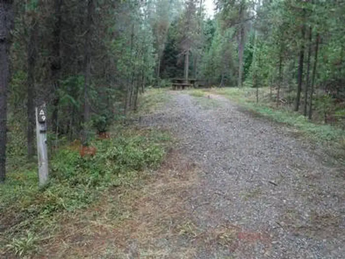
Overview This campground and trailhead is located along the Wild and Scenic North Umpqua River. Visitors will experience the river's rushing waters as they pass through lush high Cascade meadows. Spring arrives late in the high country and it is welcomed here with an explosion of colors. Purples, reds, yellows, greens, and white are arranged in a riotous bouquet. This site is designed to accommodate pack and saddle use as well as standard camping. Recreation The campground serves as a base camp for many trailheads that are local favorites for horse riding. Please be courteous and only reserve equestrian site(s) if you bring a horse. Campers in equestrian site(s) without pack or riding horses may be turned away or directed to another campground. Facilities This campground has 15 sites open to the public. There are ten equestrian sites with corrals for pack and riding horses. Most corrals are 12 ft. by 12 ft. The campground also has five non-equestrian/standard non-electric sites. All sites have partial shade, picnic tables and and campfire rings with grills. Vault toilets are provided, however, there is no drinking water. Manure bins, wheelbarrows and shovels are also provided. There is limited garbage service – please pack your garbage out with you. Natural Features Umpqua National Forest visitors are often taken aback by unique and surprising landscapes shaped by explosive geologic events. The 984,602-acre forest provides spectacular scenery and an abundance of natural and cultural resources. The translation of the word, "Umpqua," meaning "thundering waters," defines the area. High mountain lakes, heart-stopping rapids, peaceful ponds and thundering waterfalls, including the 272-foot Watson Falls on the North Umpqua Highway, offer visitors a renewed sense of spirit. Diverse ecosystems support a wide range of habitat for wildlife. From eagles and owls to salamanders and salmon, these species, along with many others, depend on surrounding undeveloped wilderness, clean streams and diverse forests to live. Nearby Attractions This site provides access to Porcupine Connect Trail 1412A , which connects to the North Umpqua Trail 1414 and Windigo Pass Trail 1412 . The North Umpqua Trail heads southeast to enter Mount Thielsen Wilderness where it connects with the Tolo Creek Trail #1466 , Lucile Lake Trail #1459 , Maidu Lake Loop Trail, and the Pacific Crest National Scenic Trail #2000 . In addition, Lemolo Lake and Resort are just a short drive away.
From the USFS.
Is KELSAY VALLEY HORSE CAMP free?
No. KELSAY VALLEY HORSE CAMP charges a fee. It is managed by the USFS. Sites are reservable through fs.usda.gov.
How do I get to KELSAY VALLEY HORSE CAMP?
From Glide, OR, follow OR-138 E, turn left onto Forest Service Road (FSR) 60, turn right to stay on FSR 60, turn right onto FSR 958/Windigo Pass Road, destination will be on the left.
Nearby
SourceData from the USFS. Last synced September 19, 2026. Community reports and photos are submitted by travelers and are not verified by the agency.
