
BUNKER HILL CAMPGROUND
USFS · Campground · Fee
Fast facts
- Cost
- Fee charged
- Managed by
- USFS
- Type
- Campground
- Reservations
- recreation.gov
- Phone
- 541-498-2531
- Nearest dump station
- Aspen Point Dump Station · 64.5 mi
- Coordinates
- 43.3192, -122.1878
- Last verified
- September 19, 2026
About this place
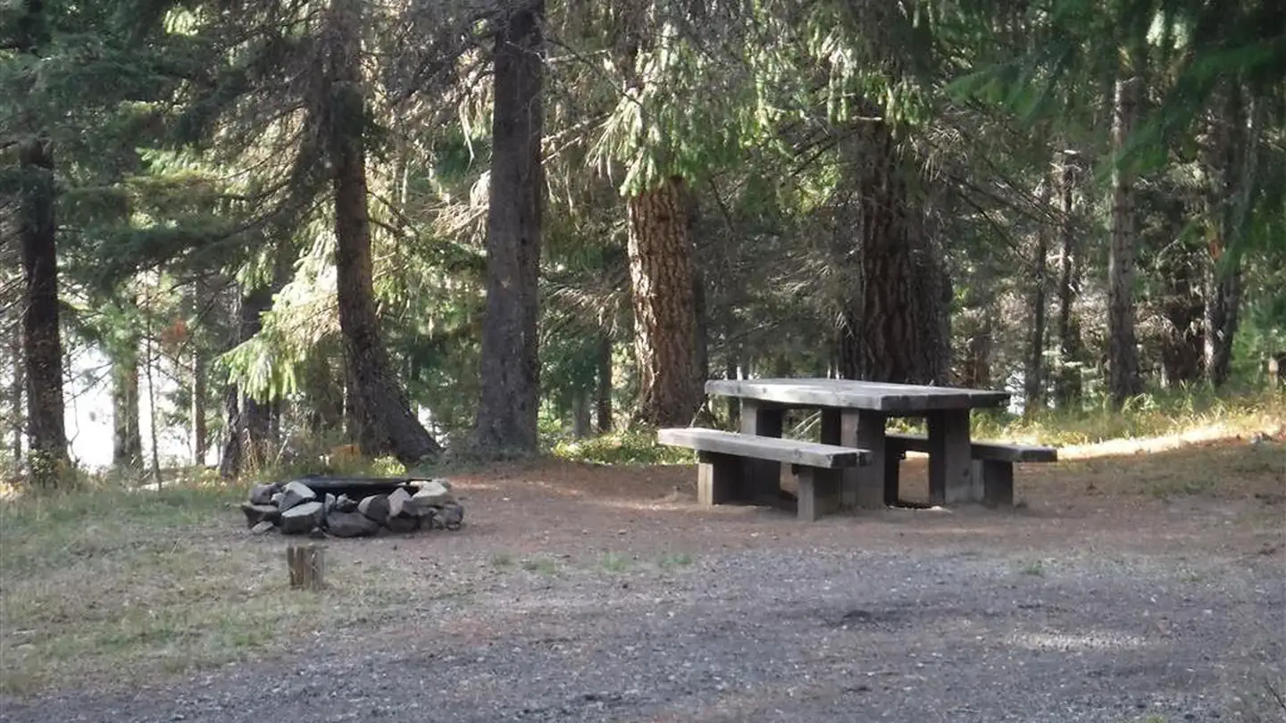
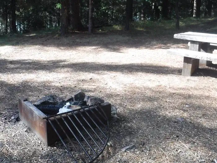
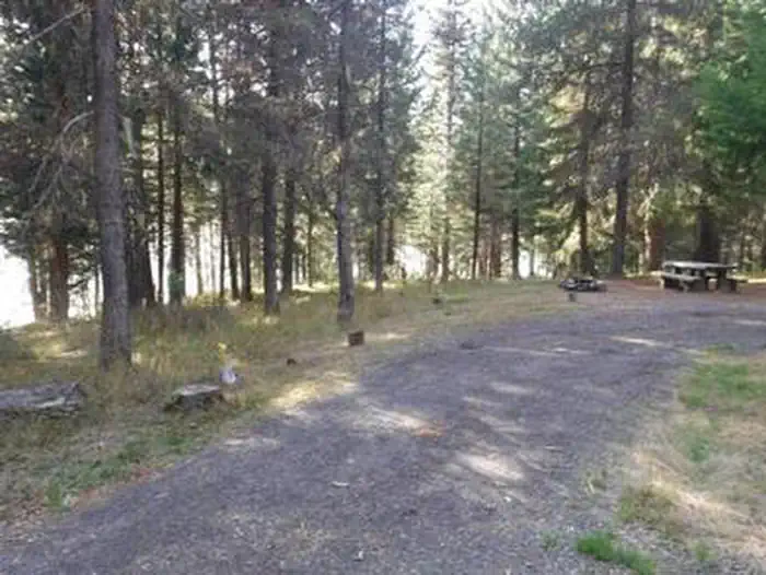
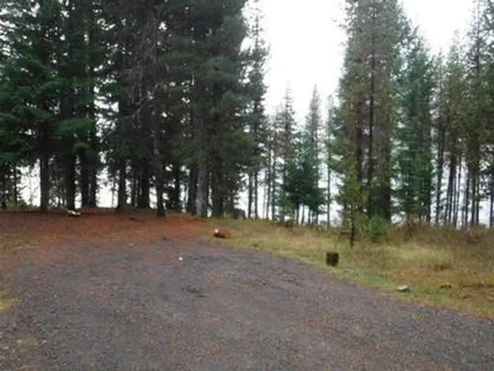
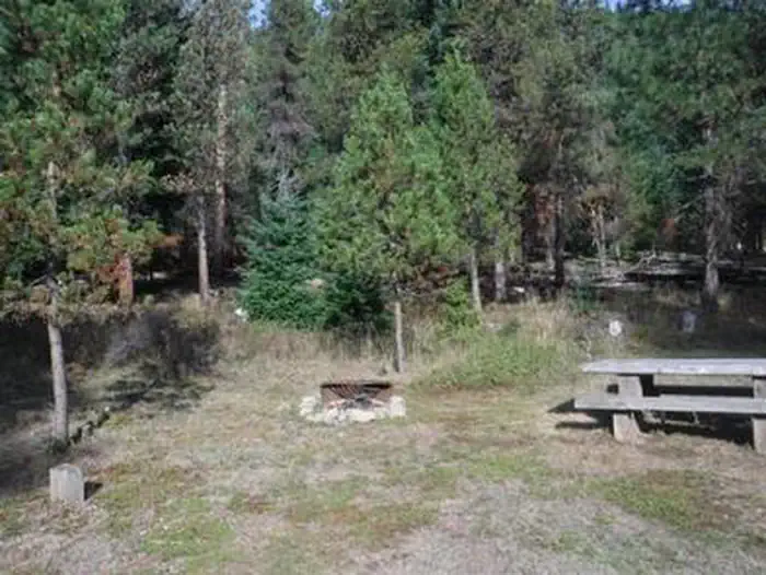
Overview This campground clings to the northwest shore of Lemolo Lake beneath the heavily wooded Bunker Hill. Bald eagles often soar above the lodgepole pine forest. Bunker Hill Campground is popular with fishermen. Recreation Boating, fishing, swimming, kayaking, canoeing and water skiing top the list of recreational activities at the campground. Lemolo Lake provides outdoor enthusiasts with a multitude of recreational opportunities year round. The forested shoreline and mountainous backdrop provide a perfect setting for both swimmers braving the lake's cold, refreshing waters, and for anglers casting lines from boat or beach. Populations of German brown trout, Eastern brook trout, rainbow trout and kokanee salmon thrive in the lake which reaches depths of up to 100 feet in places. For waterfall seekers, nearby Lemolo Falls Trail is a steep traverse that drops down into North Umpqua Canyon for a view of Lemolo Falls as it cascades 150 feet to the canyon bottom. Facilities This campground has five standard sites, all available by reservation only. Sites are equipped with picnic tables, campfire rings and grills. Amenities include vault toilets only, no drinking water is provided. Natural Features Umpqua National Forest visitors are often taken aback by unique and surprising landscapes shaped by explosive geologic events. The 984,602-acre forest provides spectacular scenery and an abundance of natural and cultural resources. The translation of the word, "Umpqua," meaning "thundering waters," defines the area. High mountain lakes, heart-stopping rapids, peaceful ponds and thundering waterfalls, including the 272-foot Watson Falls on the North Umpqua Highway, offer visitors a renewed sense of spirit. Diverse ecosystems support a wide range of habitat for wildlife. From eagles and owls to salamanders and salmon, these species, along with many others, depend on surrounding undeveloped wilderness, clean streams and diverse forests to live. Contact Info This location is unstaffed. To speak with our main office for general information, please call: (760) 932-7092. Nearby Attractions Experience 172 miles of diverse river and mountain landscapes along the Rogue-Umpqua National Scenic Byway. Travel from rolling oak-covered hills and towering coniferous forests, to roaring whitewater rapids and ancient lava flows. The highway travels alongside the Upper Rogue and North Umpqua Wild and Scenic Rivers that contain world-class fisheries. Charges & Cancellations Reservation sites will be held until check out time (11am) the day following your arrival date. Sites must be occupied by the checkout time of that following day to hold a reservation or the site will be forfeited and released to other guests. Once your reservation start date has begun, neither the Recreation.gov Contact Center nor the Campground Manager will be able to modify your reservation.
From the USFS.Official page
Is BUNKER HILL CAMPGROUND free?
No. BUNKER HILL CAMPGROUND charges a fee. It is managed by the USFS. Sites are reservable through recreation.gov.
How do I get to BUNKER HILL CAMPGROUND?
From Roseburg, OR, travel east on OR-138 / Diamond Lake Boulevard for approximately 72 miles, turn left onto Forest Road 2610 (Bird's Point Road). Continue 5.5 miles, crossing the Lemolo Lake Dam, then turn right onto Forest Road 2612. The campground is located on the right side of the road.
What are the rules at BUNKER HILL CAMPGROUND?
Quiet hours between 10 p.m. and 6 a.m.Campfires in developed fire pits only ; Fireworks are prohibitedDogs must be on leash; OHV/ATV; use prohibited in the campgroundMaximum length of stay: 14 days
Nearby
SourceData from the USFS. Last synced September 19, 2026. Community reports and photos are submitted by travelers and are not verified by the agency.
