
JIM CREEK GROUP CAMPGROUND
Campground · Fee not listed
Fast facts
- Cost
- Not listed. Check locally.
- Type
- Campground
- Phone
- 541-560-3400
- Nearest dump station
- Aspen Point Dump Station · 36.5 mi
- Coordinates
- 42.8648, -122.5119
- Last verified
- September 19, 2026
About this place
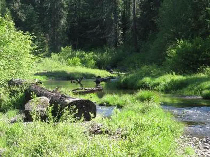
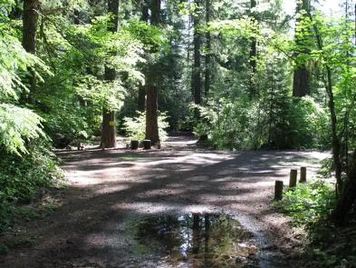
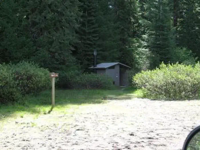
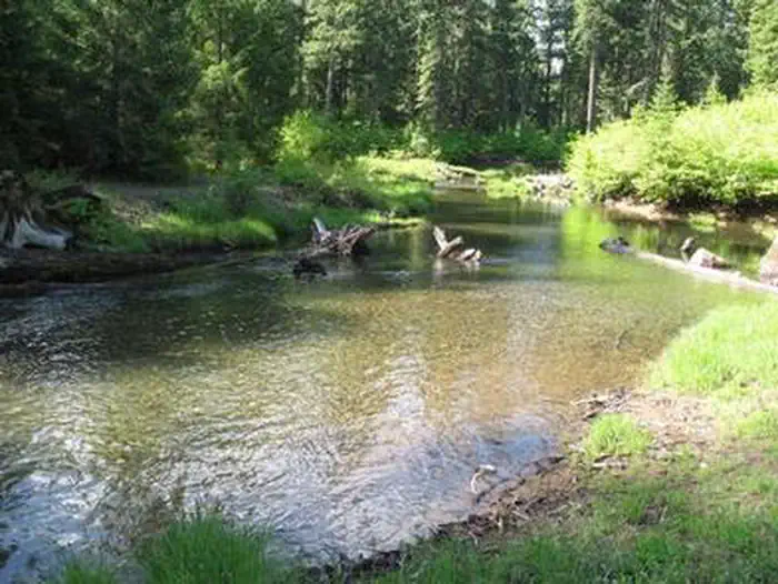
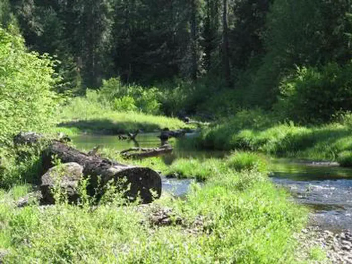
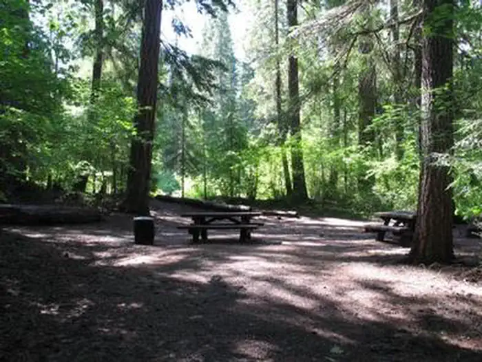
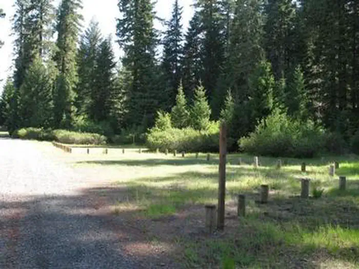
Overview Jim Creek Group Campground provides your group with a peaceful camping experience in the Rogue River-Siskiyou National Forest. Recreation Woodruff Bridge picnic area is nearby and provides access to the Upper Rogue River Trail. The Upper Rogue River Trail (USFS #1034) mostly parallels the Rogue River for about 47 miles from near the river’s headwaters at Boundary Springs in Crater Lake National Park to the North Fork Dam outside Prospect, Oregon. A managed off-highway vehicle (OHV) trail system with two play areas and an OHV friendly campground are within a few minutes drive of this group campground. Facilities Jim Creek Group Campground is a rustic site with limited amenities. The campground accommodates tents only and up to 40 people. Picnic tables and a campfire ring are available as well as a vault toilet just a short hike down the trail set away from the camp area. No water or garbage service is available. Natural Features This campground is very secluded and is set in an old growth grove of Douglas-fir trees adjacent to Abbott Creek, a tributary of the Rogue River. Nearby Attractions Visit Crater Lake National Park and learn about its unique natural and cultural history. At a depth of 1,943 feet, Crater Lake is the deepest lake in the United States and one of the ten deepest lakes in the world. Experience 172 miles of river and mountain landscapes along the Rogue-Umpqua Scenic Byway. Travel from rolling oak-covered hills and towering coniferous forests, to roaring white water rapids and incised inter-canyon lava flows.
From the managing agency.
Is JIM CREEK GROUP CAMPGROUND free?
We do not have a fee on record for JIM CREEK GROUP CAMPGROUND. Confirm the cost locally before you go.
How do I get to JIM CREEK GROUP CAMPGROUND?
JIM CREEK GROUP CAMPGROUND is at 42.8648, -122.5119. We do not hold written directions for this one, so navigate to the coordinates.
Nearby
SourceSource data is agency published. Last synced September 19, 2026. Community reports and photos are submitted by travelers and are not verified by the agency.
