
Deer Flat Group Site (Horseshoe Bend Campground)
Campground · Fee not listed
Fast facts
- Cost
- Not listed. Check locally.
- Type
- Campground
- Phone
- (541)496-3532
- Nearest dump station
- Aspen Point Dump Station · 65.9 mi
- Coordinates
- 43.2885, -122.6274
- Last verified
- September 19, 2026
About this place
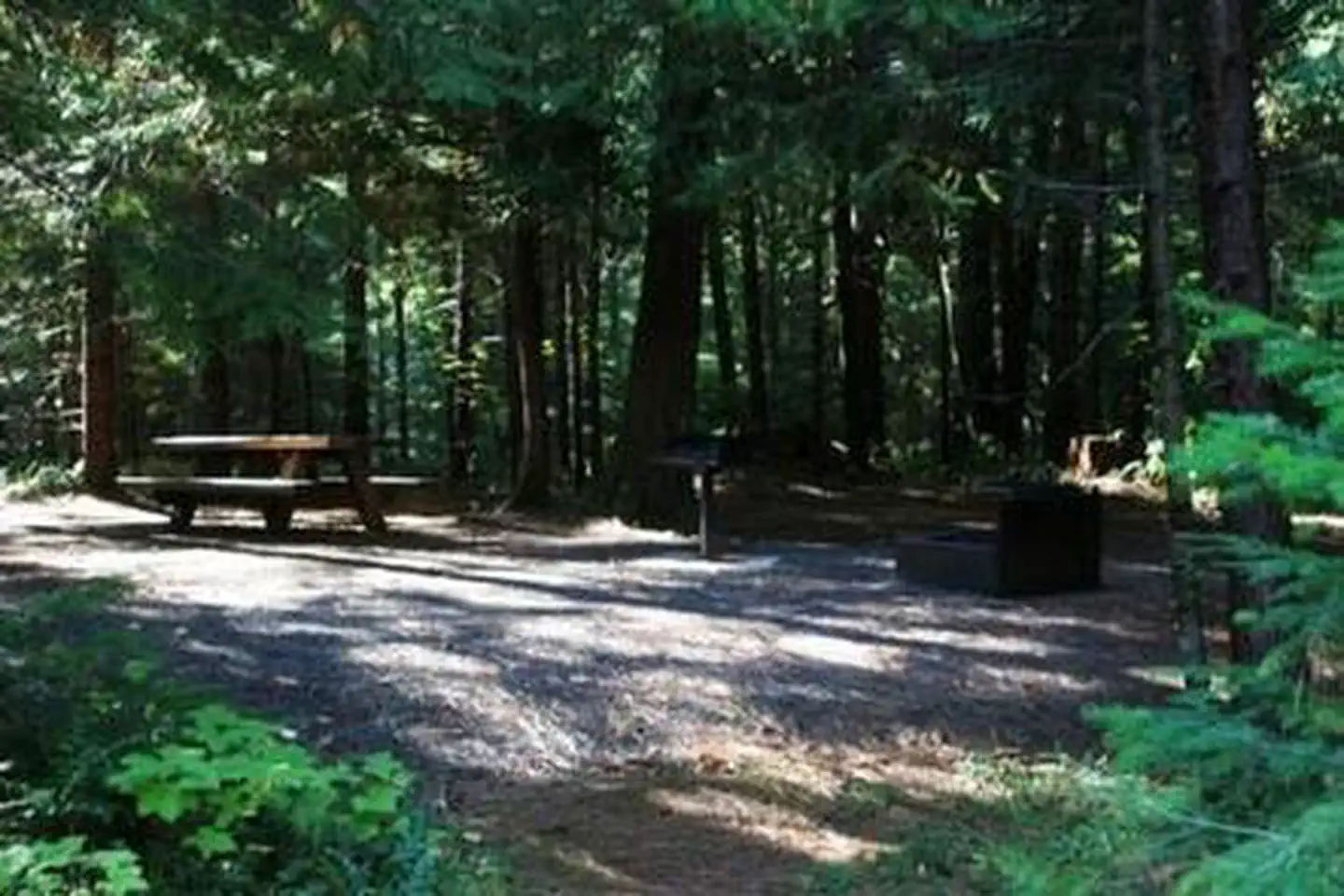
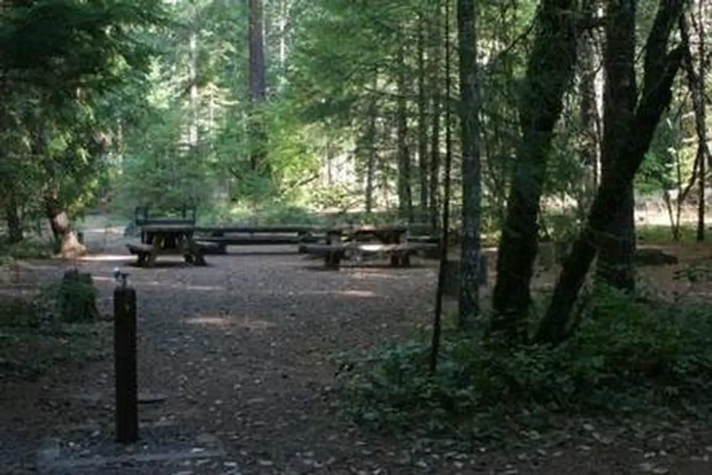
Overview Deer Flat Group Campground is situated in a stand of old growth Douglas fir, sugar pine and deciduous trees, near the banks of the scenic North Umpqua River. The campground offers a perfect setting for large family and group camping excursions. Recreation Deer Flat is a prime location for hiking, fishing, biking, and boating in summer and early fall. The North Umpqua River, adjacent to this campground, drains portions of the western side of the Cascade Range. Almost 34 miles of this river have been designated as a Wild and Scenic River. Renowned for outstanding salmon and steelhead fishing and exhilarating whitewater challenges, the North Umpqua River offers an ideal setting for many recreational pursuits. The Illahee Flat Trail descends from the nearby Horseshoe Bend Campground and continues from Illahee Flat to the Jessie Wright Segment of the North Umpqua Trail. The 79 mile North Umpqua Trail parallels the river and offers visitors challenging hiking and mountain biking experiences. Facilities This large, reserve only site is able to accommodate up to 70 people. The site is equipped with several picnic tables, campfire rings, grills, flush toilets and drinking water. Roads and spurs in this campground are paved. Access to the North Umpqua River is within walking distance. Natural Features Visitors to Umpqua National Forest are often taken aback by the unique landscapes of southwestern Oregon. Explosive geologic events have shaped the distinctive landscape on the nearly 1 million-acre forest, and provide spectacular scenery as well as an abundance of natural and cultural resources. The translation of the word, "Umpqua," meaning "thundering waters," defines the area. High mountain lakes, heart-stopping rapids, peaceful ponds and thundering waterfalls, including the 272-foot Watson Falls on the North Umpqua Highway, offer visitors plenty of pastimes. Diverse ecosystems support a wide range of habitat for wildlife common to the area. From eagles and owls, to salamanders and salmon, these species, along with many others, depend on surrounding undeveloped wilderness, clean streams and diverse forests to live. Contact Info For facility specific information, please call (760) 932-7092. Nearby Attractions Opportunities for hiking, mountain biking, boating and fishing are within 1 mile of the campground. Access to climbing routes is within 10 miles. Visitors may want to take some time to visit nearby Crater Lake National Park, the only national park in Oregon! The amazing Crater Lake area offers a glimpse into the volcanic history of the area. Experience 172 miles of diverse river and mountain landscapes along the Rogue-Umpqua National Scenic Byway. Travel from rolling oak-covered hills and towering coniferous forests, to roaring white water rapids and incised intercanyon lava flows. The highway travels alongside the Upper Rogue and North Umpqua Wild and Scenic Rivers that contain world-class fisheries.
From the managing agency.
Is this site free?
We do not have a fee on record for this site. Confirm the cost locally before you go.
How do I get to this site?
this site is at 43.2885, -122.6274. We do not hold written directions for this one, so navigate to the coordinates.
Nearby
SourceSource data is agency published. Last synced September 19, 2026. Community reports and photos are submitted by travelers and are not verified by the agency.
