
Blair Lake Campground
USFS · Campground · Fee
Fast facts
- Cost
- Fee charged
- Managed by
- USFS
- Type
- Campground
- Hours
- Check in: 2:00 p.m.; Check-out: 12:00 p.m.;
- Reservations
- recreation.gov
- Phone
- N/A
- Coordinates
- 43.8367, -122.2436
- Last verified
- September 19, 2026
About this place
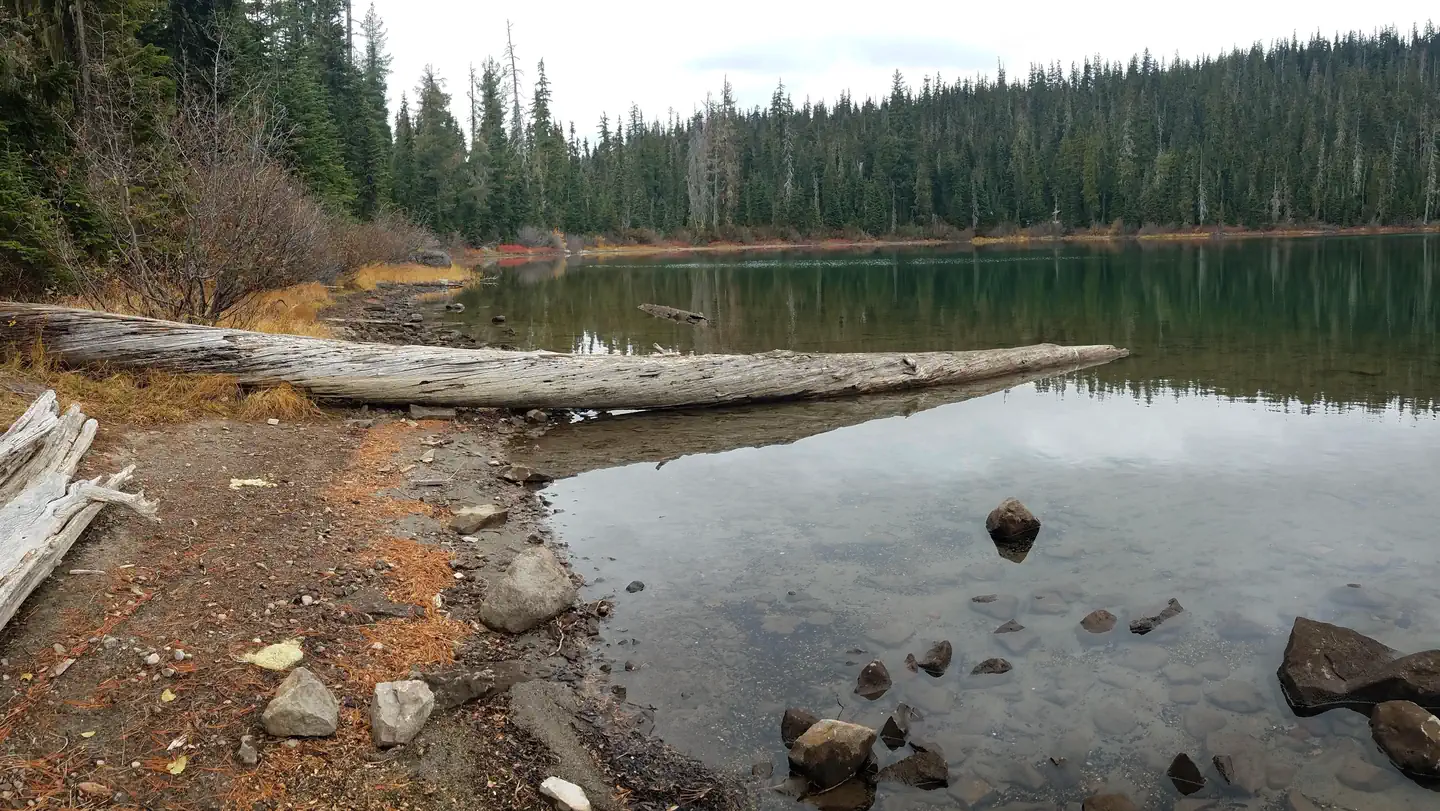
Overview Blair Lake Campground remains closed due to impacts from the Cedar Creek Fire. This location is available on a first-come, first-served basis only. Visitors are required to physically arrive at the campground to purchase and claim a site. Once on-site, you may be able to pay for your campsite(s) by scanning a QR code using the Recreation.gov mobile app, and the Scan and Pay feature. If this option is available, you will need to first download the free Recreation.gov mobile app https://www.recreation.gov/mobile-app prior to your arrival as some remote areas have limited or no cellular service. Located in a beautiful high-elevation alpine setting, this small 7 site tent-only campground is situated along the north shore of Blair Lake. Four campsites are walk-in only, the remaining three sites are accessible by vehicle. Expect heavy weekend use during the summer and note that the small, unimproved parking area is better suited for smaller vehicles. Blair Lake, 35 acres in size and 20 feet deep, supports a population of brook and rainbow trout and is stocked regularly. The surrounding landscape provides an impressive wildflower display in early summer and tasty huckleberries in late summer/early autumn. The historic Blair Lake Trail begins nearby, enticing hikers, equestrians, and off-road cyclists into the high elevation prairies and forests.
From the USFS.Official page
Is Blair Lake Campground free?
No. Blair Lake Campground charges a fee. It is managed by the USFS. Sites are reservable through recreation.gov.
How do I get to Blair Lake Campground?
Approximately 18 miles northeast of Oakridge, Oregon. Starting at the Oakridge Post Office (48264 East 1st Street), drive east along East 1st for 0.7 miles where East 1st becomes Salmon Creek Road (Forest Service Road 24). Follow Salmon Creek Road/FSR 24 for 8.2 miles until the junction of FSR 1934 on your left. Turn left on FSR 1934 and follow for 7.4 miles until the junction of FSR 1934-733. Follow the 733 spur for 1.5 miles until it ends at the camp.
What are the rules at Blair Lake Campground?
NO trailer facilities. Camping is not allowed more than 14 days in a 60 day period. Use of chainsaws in the campground is prohibited. Animals must be on a leash no longer than 6 feet. Quiet hours are 10:00 p.m. until 6:00 a.m.
Nearby
- Kiahanie Campground3.4 mi
- Salmon Creek Falls Campground8.2 mi
- Blue Pool Campground (Middle Fork Ranger District)9.1 mi
- Blue Pool Campground9.2 mi
- Blue Pool9.2 mi
- Box Canyon Horse Camp9.3 mi
- BOX CANYON GUARD STATION CABIN9.4 mi
- Skookum Creek Campground10.0 mi
No other services within 50 mi on the record.
SourceData from the USFS. Last synced September 19, 2026. Community reports and photos are submitted by travelers and are not verified by the agency.
