
Aspen Point (Lake of the Woods, OR)
Campground · Fee not listed
Fast facts
- Cost
- Not listed. Check locally.
- Type
- Campground
- Phone
- 541-949-8020
- Nearest dump station
- Aspen Point Dump Station · 0.1 mi
- Coordinates
- 42.3847, -122.2125
- Last verified
- September 19, 2026
About this place
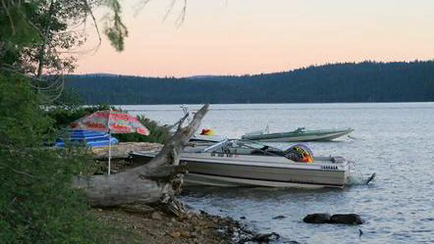
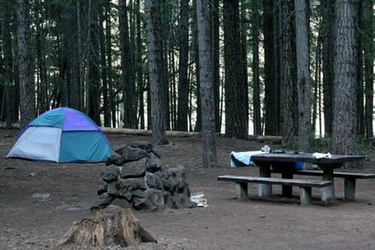
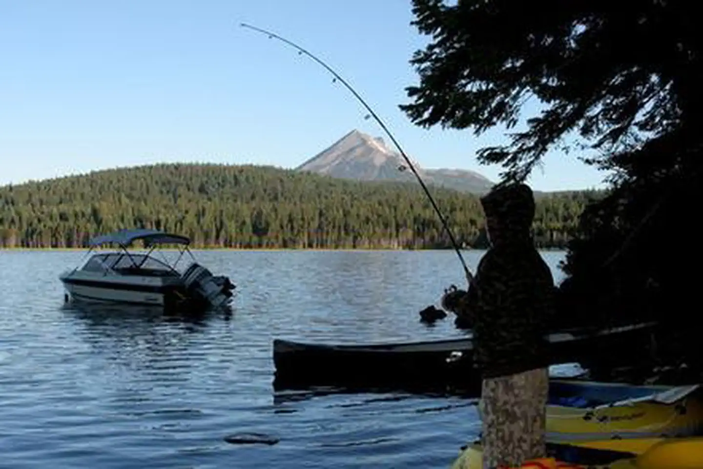
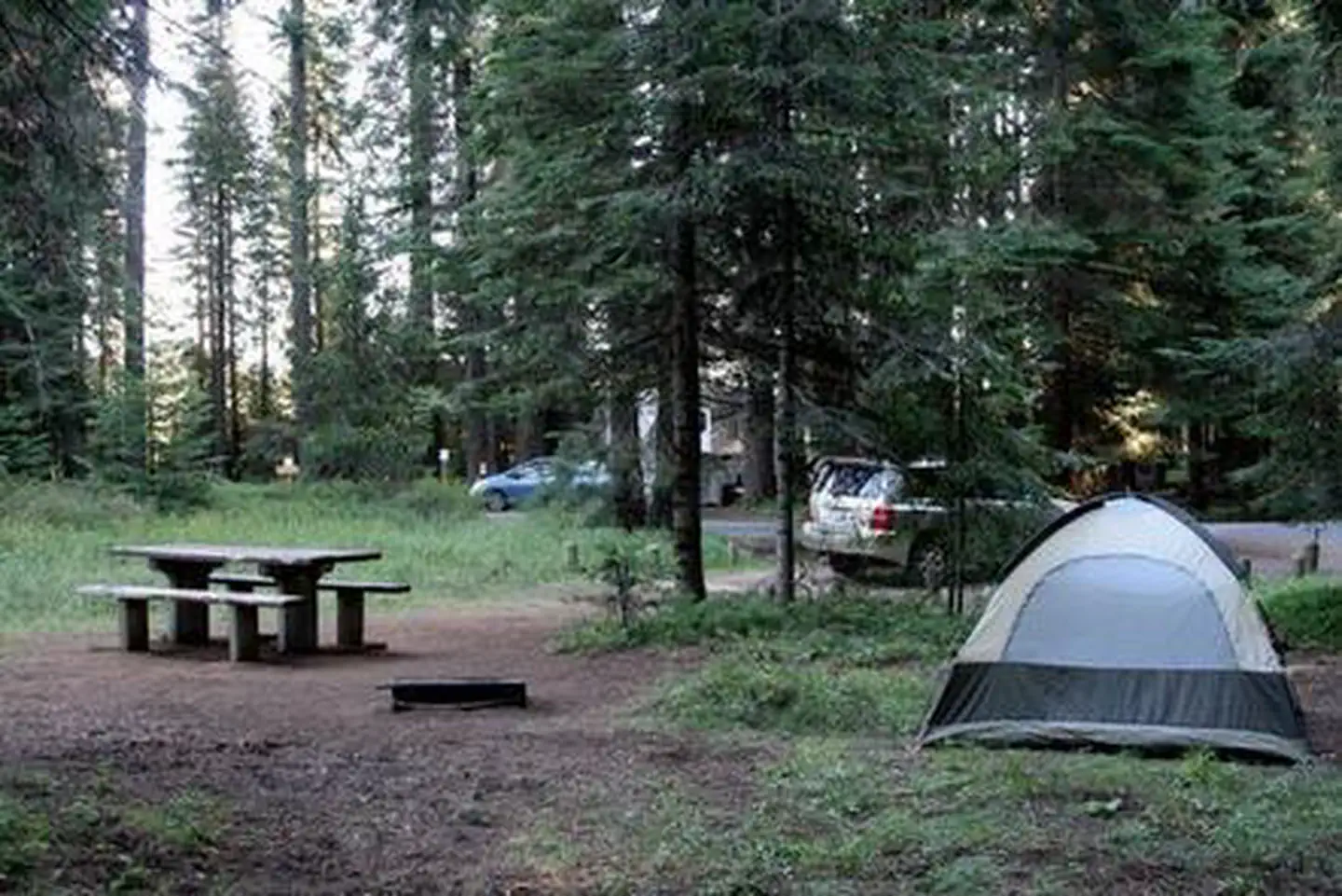
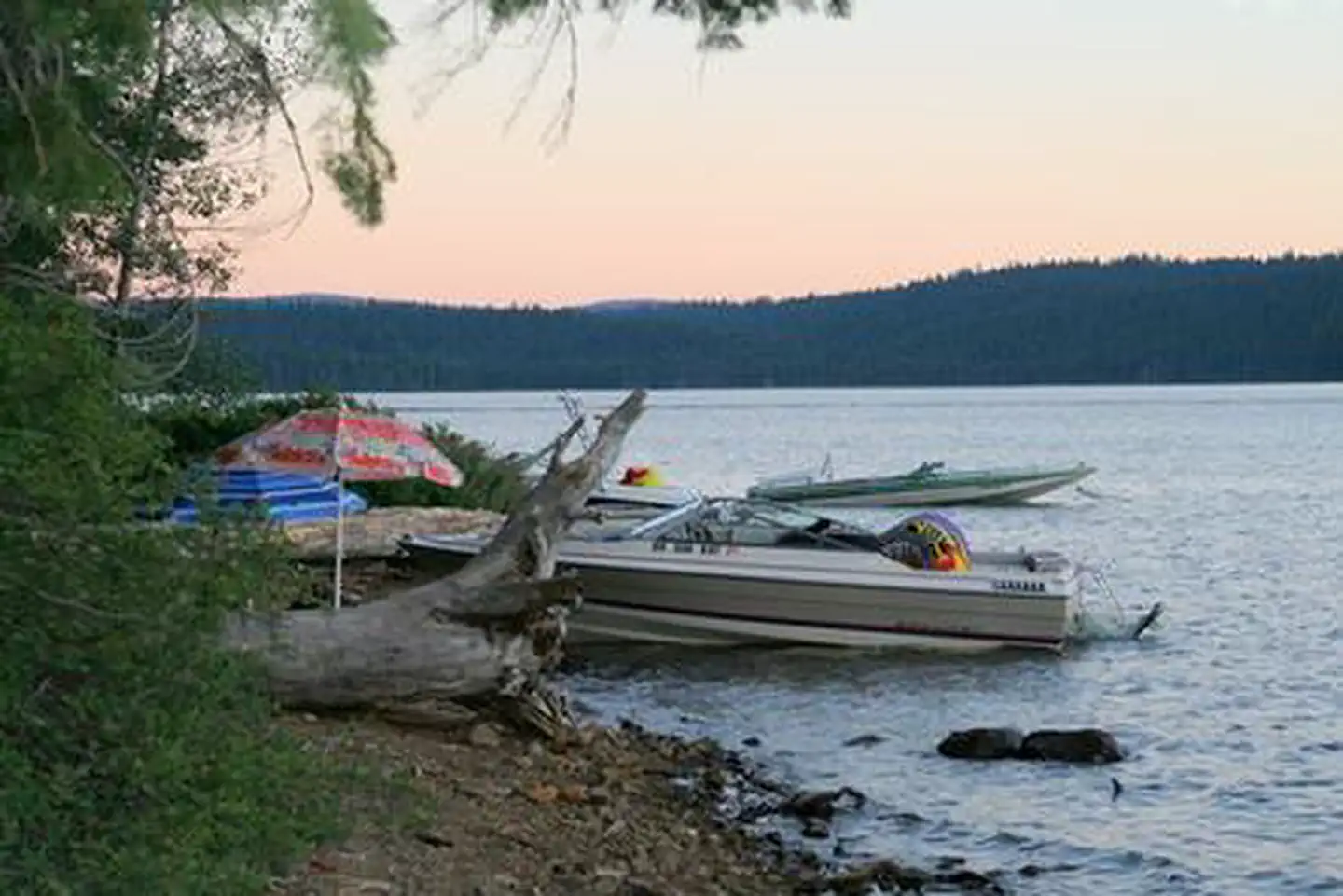
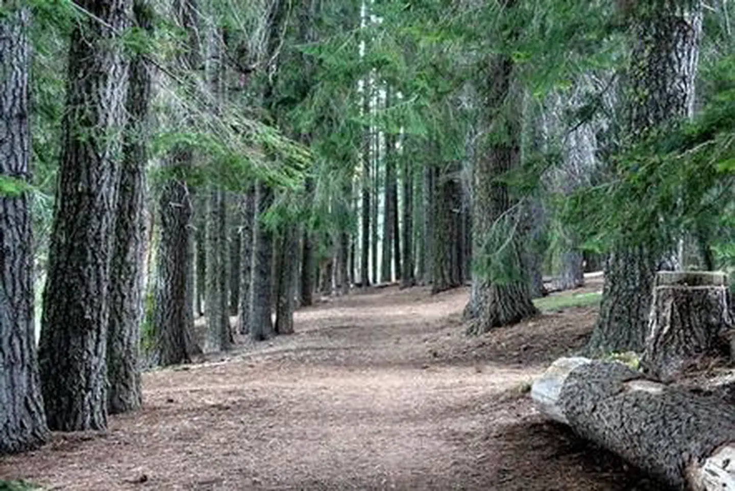
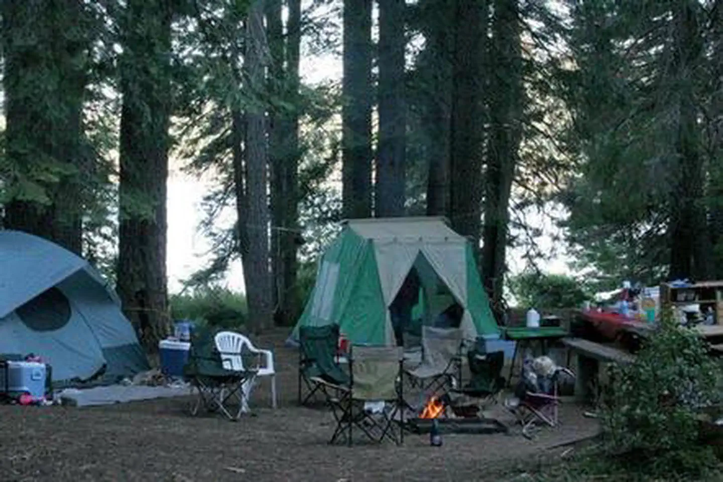
Overview Aspen Point, located on the banks of scenic Lake of the Woods, is a single-loop campground that offers visitors opportunities to experience both the serene and wild aspects of south central Oregon. Visitors enjoy hiking on trails leading into towering conifer forests or paddling a canoe along the shore at sunset. Recreation Aspen Point Campground is a wonderful location for hiking, fishing, hunting, horseback riding and biking in summer and early fall. In the winter months, visitors can take advantage of skiing, snowshoeing, and snowmobiling. Adjacent to Lake of the Woods, anglers may want to cast a line out from boat or shore to reel in rainbow or brown trout. Kokanee salmon, bass, and perch, also thrive in the lake. Swimming, kayaking, and canoeing are wonderful ways for visitors to spend a warm afternoon along the waterfront. Facilities Aspen Point Campground offers nearly 40 reservable campsites, including a group site that can accommodate up to 100 guests. The campground is equipped with picnic tables, campfire rings, drinking water and flush toilets, along with a boat ramp and beach. A nearby resort offers visitors basic amenities, lodging, and dining. Natural Features Fremont National Forest is hemmed in by towering snow-capped peaks, volcanic landscapes and wide-open sage basins. The nearby Sky Lakes Wilderness, designated by Congress in 1984, is a land of lakes, rocky ridges and timbered slopes. It is approximately 6 miles wide and 27 miles long, with elevations ranging from 3,800 feet in the canyon of the Middle Fork of the Rogue River to a lofty 9,495 feet at the top of Mount McLoughlin. More than 200 pools of water, from mere ponds to lakes of 30 to 40 acres, dot the landscape. Large mammals, such as mule deer, Rocky Mountain elk, and pronghorn antelope, find homes in the the forests, while several varieties of trout inhabit lakes and streams. In the spring and fall, migrating geese, ducks and swans frame the Oregon sky. Black bears, mountain lions, and bobcats, also find homes in the forest. Contact Info Between 05/15/2021 and 09/15/2021 this location is staffed. Please call (541) 274-0386 to speak with local staff. From 09/16/2021 to 05/14/2022 this location is unstaffed. Please call (866) 201-4194 for general information. Nearby Attractions The Crater Lake National Park is a popular attraction, where visitors can learn about its unique natural and cultural history. At 1,943 feet deep, Crater Lake is the deepest lake in the United States and one of the ten deepest lakes in the world. Visitors also enjoy the 172 miles of diverse river and mountain landscapes along the Rogue-Umpqua National Scenic Byway. The scenic drive travels from rolling oak-covered hills and towering coniferous forests to roaring white water rapids and incised intercanyon lava flows. The highway travels alongside the Upper Rogue and North Umpqua Wild and Scenic Rivers that contain world-class fisheries.
From the managing agency.
Is this site free?
We do not have a fee on record for this site. Confirm the cost locally before you go.
How do I get to this site?
this site is at 42.3847, -122.2125. We do not hold written directions for this one, so navigate to the coordinates.
Nearby
SourceSource data is agency published. Last synced September 19, 2026. Community reports and photos are submitted by travelers and are not verified by the agency.
