
Alsea Falls Recreation Site (Campground)
Campground · Fee
Fast facts
- Cost
- Fee charged
- Type
- Campground
- Phone
- 503-375-5646
- Coordinates
- 44.3206, -123.4878
- Last verified
- September 19, 2026
About this place
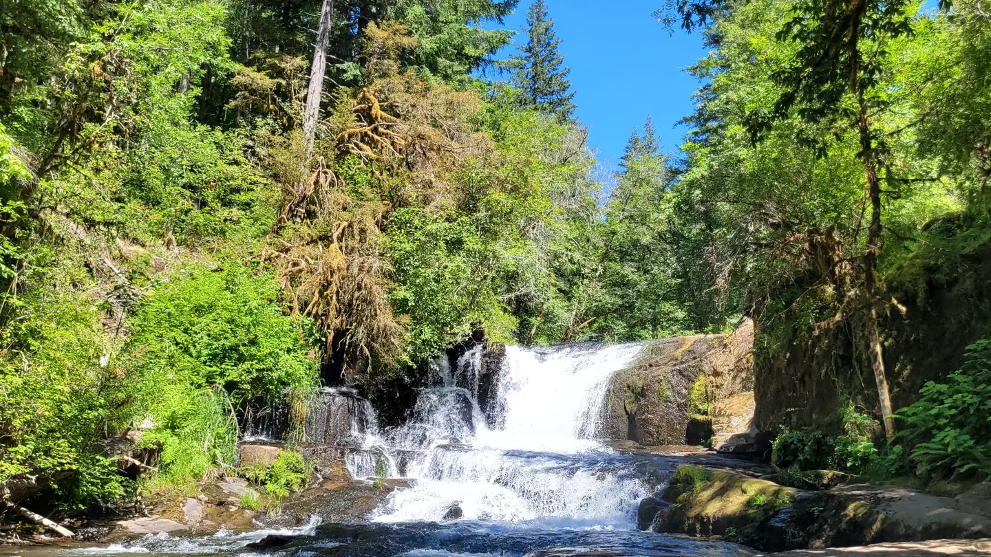
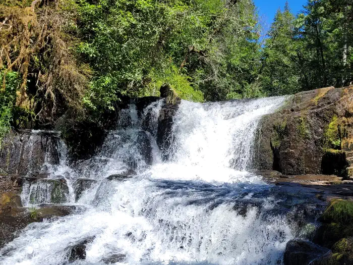
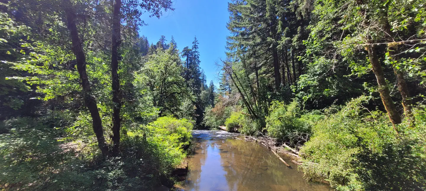
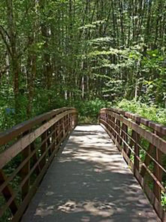
Overview Reserve a site at Alsea Falls on recreation.gov or pay when you arrive for non-reserved campsites using the Recreation.gov Mobile App . You must download before you reach the site since there is no cell reception in the drainage. Alsea Falls Recreation Site is located along a Bureau of Land Management National Back Country Byway, located in the Oregon Coast Range, 13 miles west of Monroe, Oregon, in Benton County. Alsea Falls is open for camping the first weekend in May through the end of September of each year. Day use is open year round. The South Fork of the Alsea River flows through the Alsea Falls Recreation Site, cascading down 30 feet to form Alsea Falls in the day use area. Recreation The beautiful surroundings of Alsea Falls can be enjoyed by exploring the trails that wander through the area and lead to the picnic grounds and beyond. On a warm day, Alsea Falls Recreation Site offers cool relief along the river. During the winter months, the South Fork of the Alsea River provides excellent salmon and steelhead fishing. Be sure to check with the Oregon Department of Fish and Wildlife for current fishing regulations. Facilities This recreation area has 16 individual campsites; all are reservable . No first come-first served availability, however, you can come by on a nightly basis to camp if the site is not reserved until the reservation holder arrives. Amenities within the campground include drinking water and vault toilets. Several campsites can accommodate large RVs or trailers: up to 32 feet long. A site map is available here. Natural Features Forests in all stages of growth line South Fork Alsea National Back Country Byway. The nearby South Fork Alsea River offers painters and photographers endless opportunities to capture the natural beauty of Alsea Falls and the surrounding area. Old growth Douglas fir and western red cedar forests can be seen on the nearby ridges, while younger Douglas fir and vine maples provide a pleasant atmosphere at the Alsea Falls Recreation Site. Contact Info This location has limited staffing. Please call (503) 375-5646 for general information. Nearby Attractions The Fall Creek Day-Use Trailhead offers over 12 miles of mountain bike specific trails. Hikers can use these trails as well. Green Peak Falls with a drop of 45 feet is accessed by road or trail through the private campground of McBee Park. Follow the markers along the trail and road. Alsea Trout Hatchery is north of the town of Alsea. Charges & Cancellations Standard fees apply and are non-refundable. Visit https://www.recreation.gov/rules-reservation-policies for more information.
From the managing agency.
Is this site free?
No. this site charges a fee.
How do I get to this site?
this site is at 44.3206, -123.4878. We do not hold written directions for this one, so navigate to the coordinates.
Nearby
- Marys Peak Campground13.5 mi
- RIVER EDGE14.0 mi
- Riveredge Campground16.0 mi
- Richardson Campground16.3 mi
- Blackberry Campground17.5 mi
- BLACKBERRY17.6 mi
- Big Elk Campground19.3 mi
- Canal Creek Group Campground22.0 mi
No other services within 50 mi on the record.
SourceSource data is agency published. Last synced September 19, 2026. Community reports and photos are submitted by travelers and are not verified by the agency.
