
RIVER EDGE
Campground · Fee not listed
Fast facts
- Cost
- Not listed. Check locally.
- Type
- Campground
- Phone
- 541-528-7725
- Coordinates
- 44.3772, -123.7586
- Last verified
- September 19, 2026
About this place
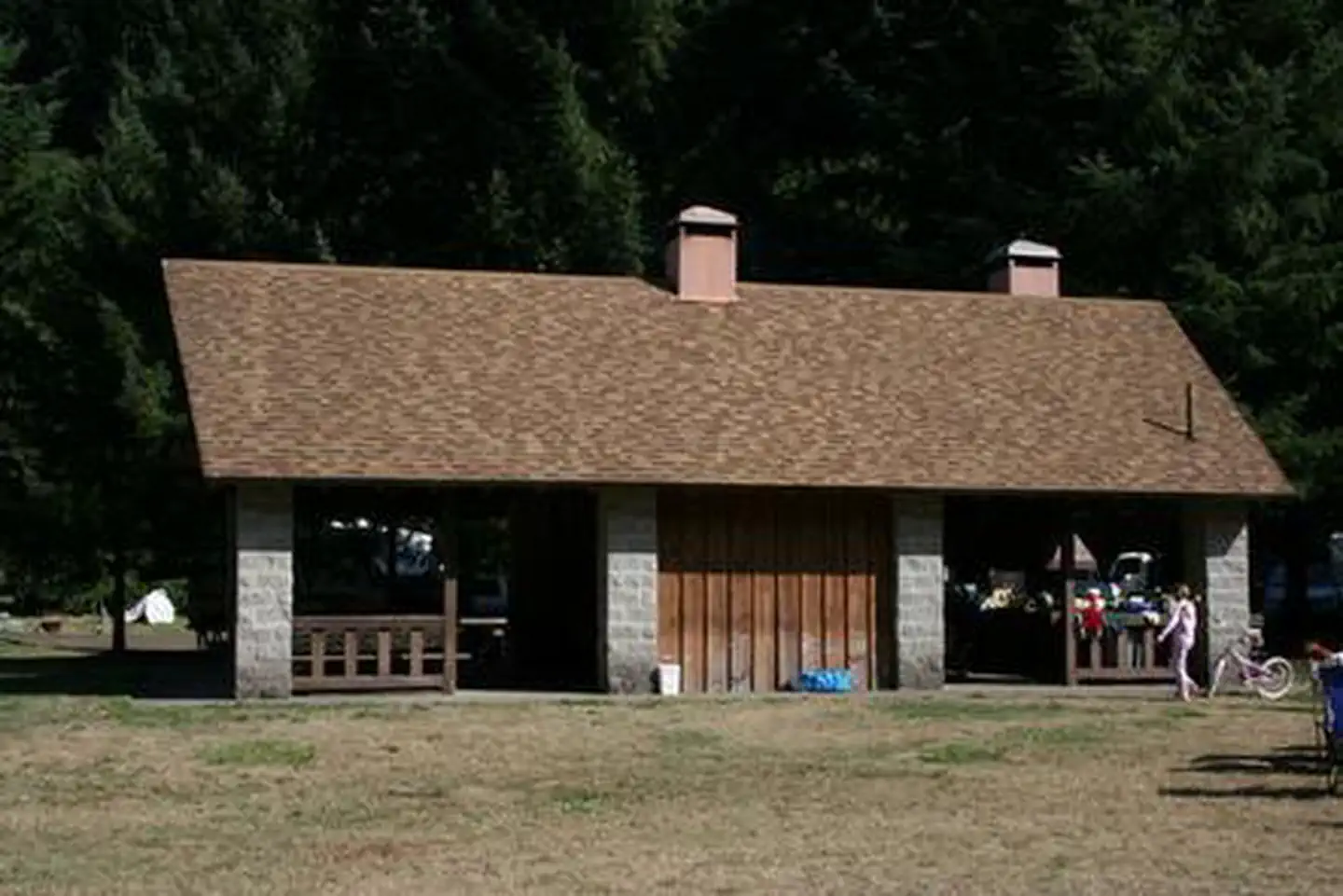
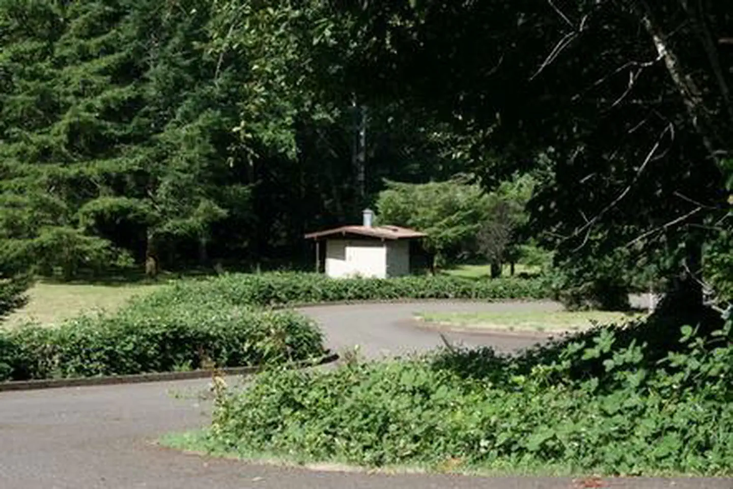
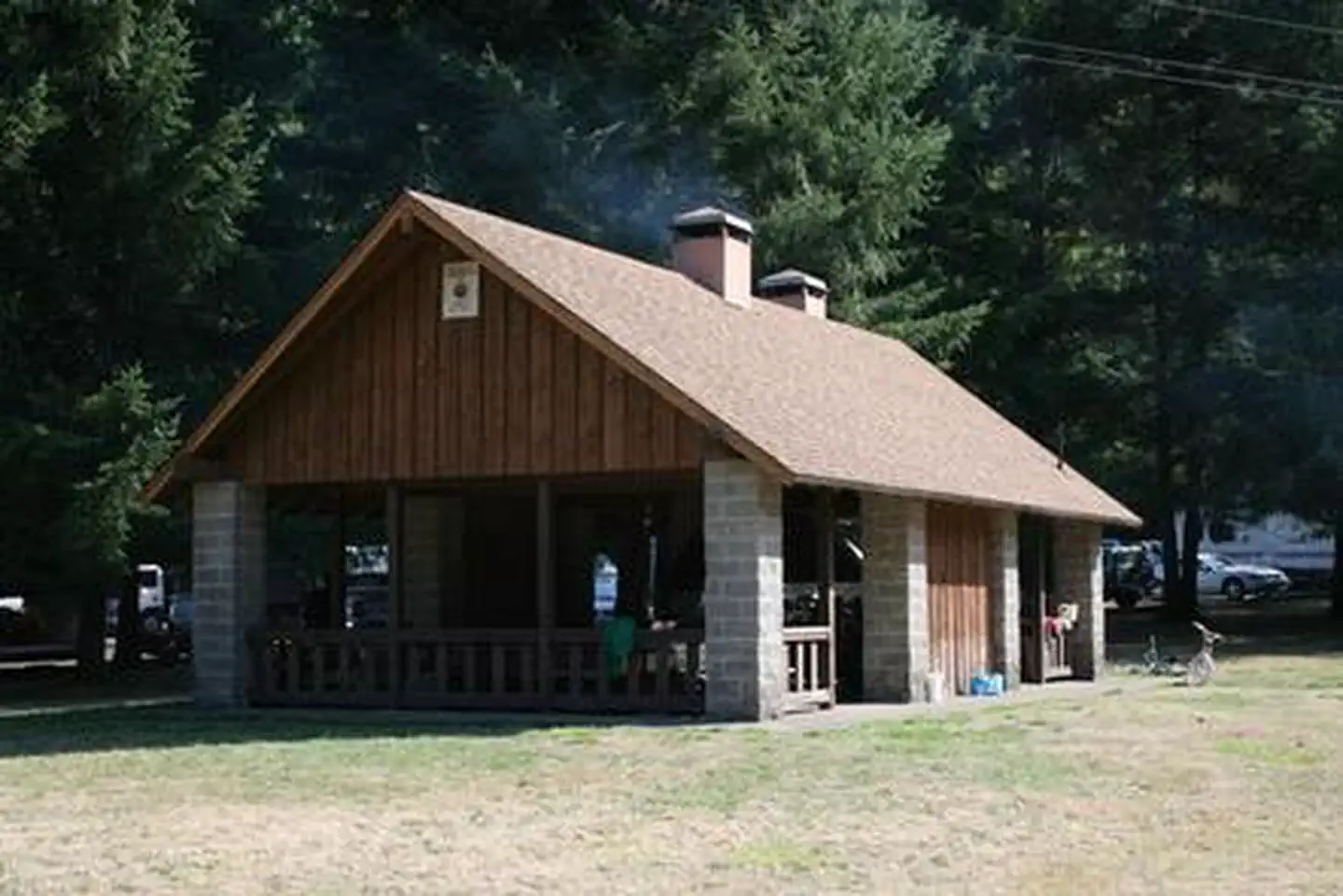
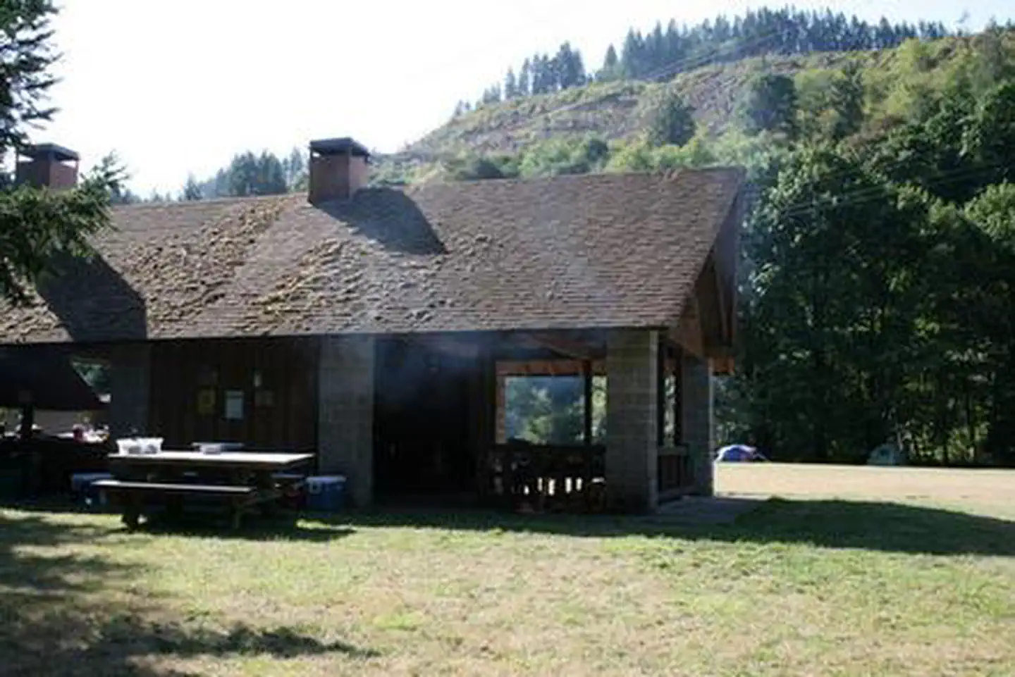
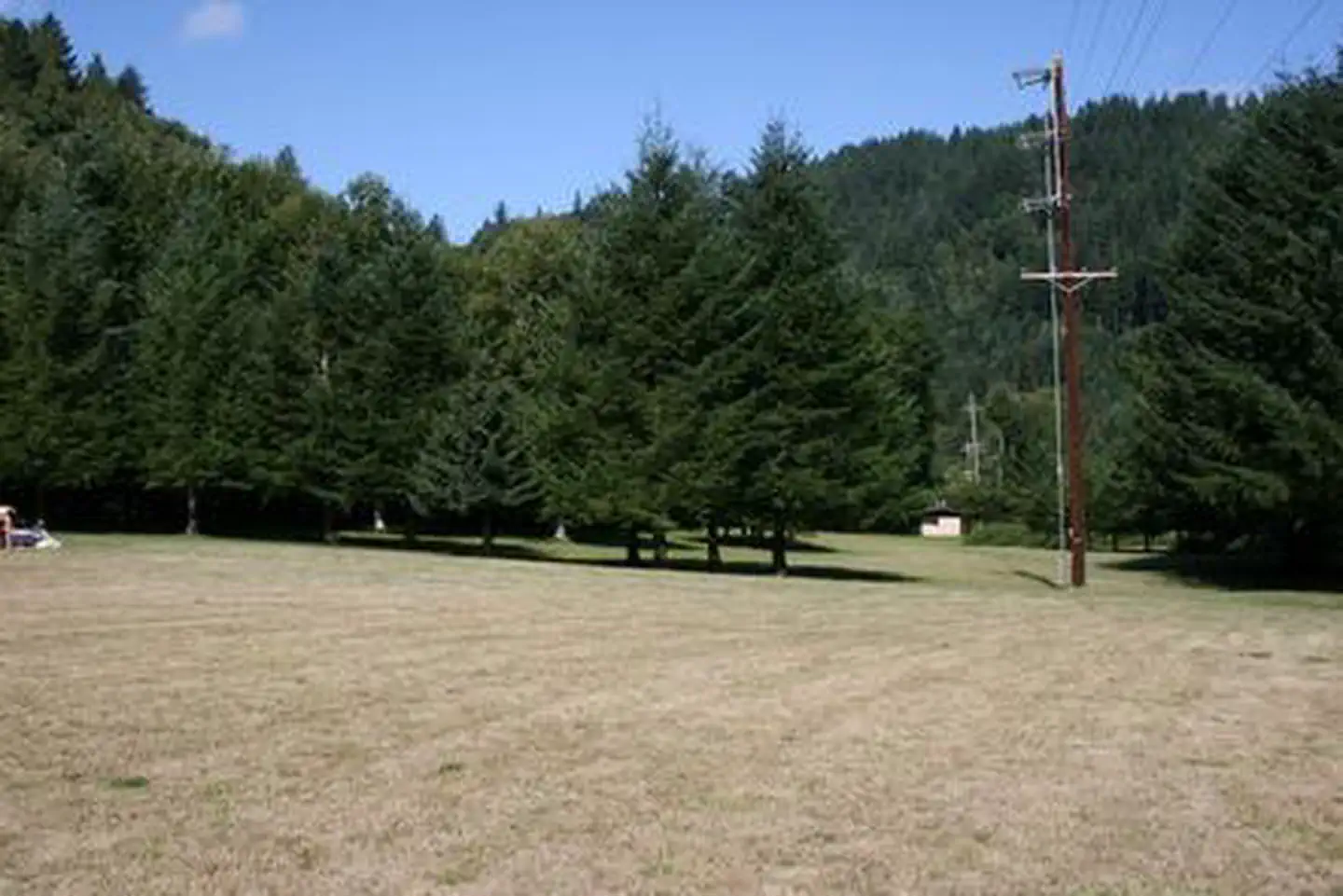
Overview River Edge is a group campground nestled on the banks of the Alsea River, surrounded by large Sitka spruce, Douglas fir, alder trees and blackberries. Groups of families and friends enjoy the area for its great fishing opportunities, as well as its scenic beauty. Recreation The campground's open play field is ideal for games like Frisbee and soccer, so campers are encouraged to bring sports equipment to make use of the space. The river beckons visitors for canoeing and swimming. Anglers cast for Coho and Chinook salmon and Steelhead trout. Facilities The accessible group campground accommodates 100 guests. A large shelter covers several picnic tables. A campfire ring and grills are located under the shelter, and an additional campfire ring is outside the shelter. Drinking water, electricity and four vault toilets are provided. Firewood may be purchased onsite. Natural Features River Edge is located in the eastern part of the Siuslaw National Forest, which encompasses over 630,000 acres as it stretches from the lush forests of the coastal mountains to the Oregon Dunes and Pacific Coast. The Alsea River flows 48.5 miles from the town of Alsea out to the Pacific Coast at Waldport and Alsea Bay. Contact Info For facility specific information, please call (801) 226-3564. Nearby Attractions Sandy beaches stretch north and south of Waldport, about 25 minutes from the campground. Beautiful Cape Perpetua Scenic Area, where whale watching is a popular activity, is another 15 minutes south of Waldport. Mary's Peak is the highest point in Oregon's Coast Range and has been designated a Scenic Botanical Area because of its rich, unique scenery and plants.
From the managing agency.
Is RIVER EDGE free?
We do not have a fee on record for RIVER EDGE. Confirm the cost locally before you go.
How do I get to RIVER EDGE?
RIVER EDGE is at 44.3772, -123.7586. We do not hold written directions for this one, so navigate to the coordinates.
Nearby
- Riveredge Campground2.1 mi
- Blackberry Campground3.8 mi
- BLACKBERRY3.8 mi
- CANAL CREEK8.3 mi
- Alsea Group Site8.4 mi
- Canal Creek Group Campground8.4 mi
- Big Elk Campground11.7 mi
- Marys Peak Campground13.3 mi
No other services within 50 mi on the record.
SourceSource data is agency published. Last synced September 19, 2026. Community reports and photos are submitted by travelers and are not verified by the agency.
