
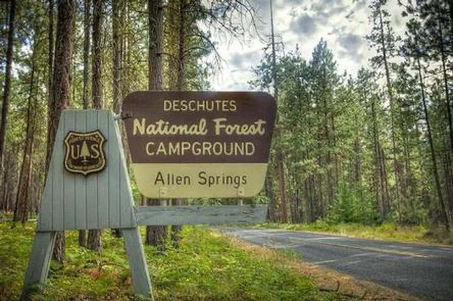
ALLEN SPRINGS CAMPGROUND
USFS · Campground · Fee
Fast facts
- Cost
- Fee charged
- Managed by
- USFS
- Type
- Campground
- Hours
- Quiet hours are 10:00 p.m. until 6:00 a.m.
- Reservations
- recreation.gov
- Phone
- 541-323-1746
- Coordinates
- 44.5280, -121.6273
- Last verified
- September 19, 2026
About this place
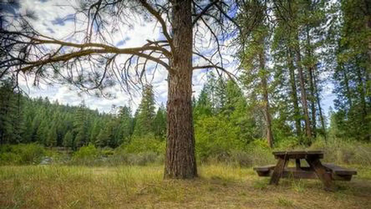
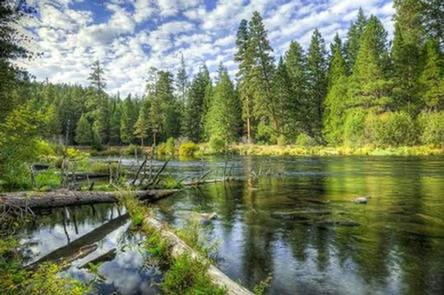
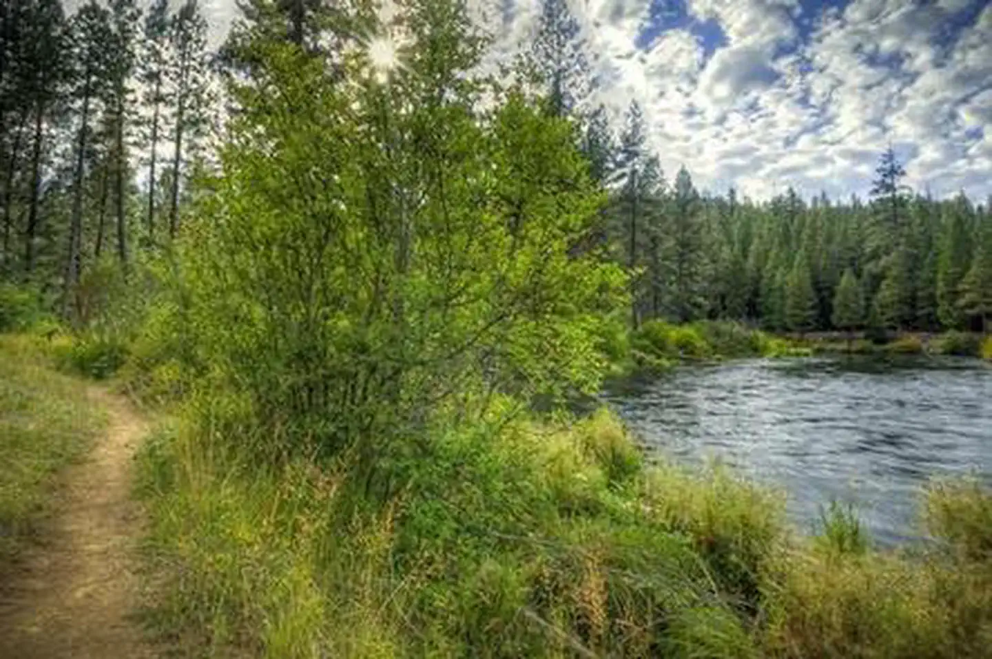
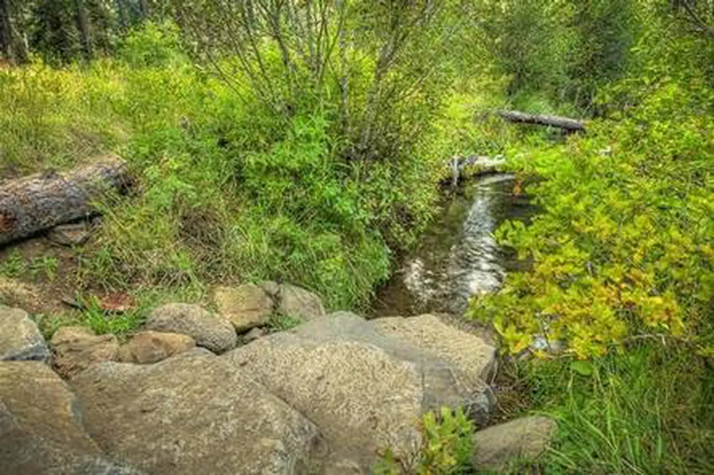
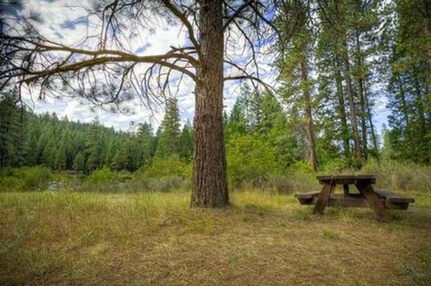
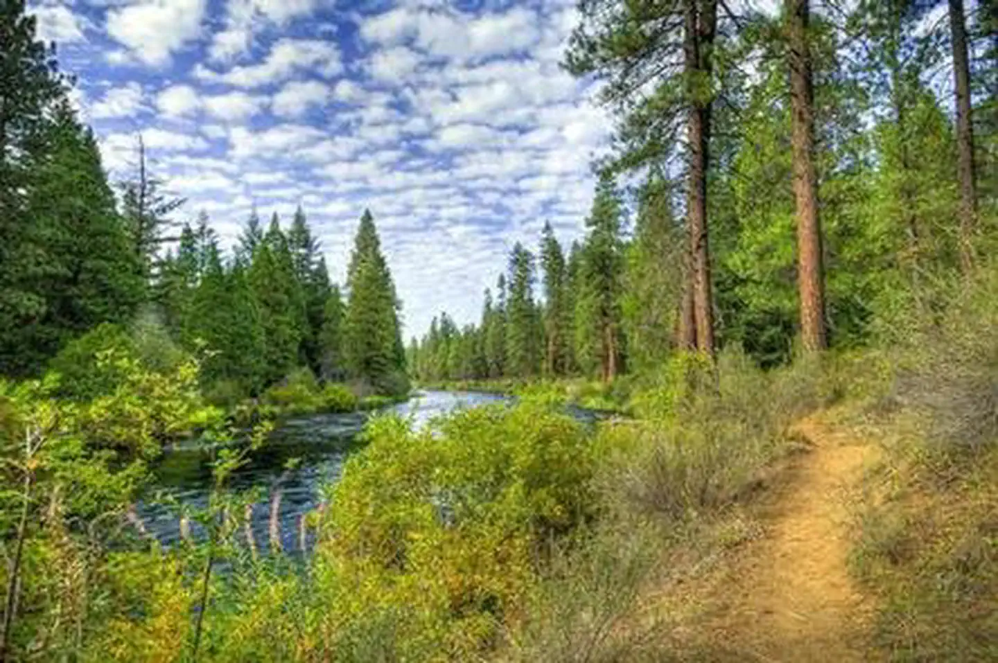
Overview Like the other campgrounds on the Metolius, Allen Springs is located amongst towering Ponderosa Pines, on a turn of the Metolius River that broadens the river view. Most of the campsites are better suited to tents rather than RV's. Recreation This campground offers many opportunities for hiking and biking with the many trails nearby. The ponderosa pine forest provides shade as well as the chance to go bird or nature watching. Facilities This facility has 16 sites that are nestled along the Metolius River. The circular shape of the campground means most of the campsites are better suited to tents rather than RVs. Allen Springs is a No Water campground so campers will need to bring their own supply. Each site is equipped with a picnic table and fire pit. We do have vault toilets onsite There is also a small picnic area onsite. Natural Features Nestled in the forest with near the Metolius River. Allen Springs Campground is a great shady family spot with short hikes all around. Nearby Attractions The close proximity to the town of Sisters offers many additional amenities and attractions, as well as the nearby Sisters Wilderness Trails. Charges & Cancellations Once your reservation start date has begun, neither the Recreation.gov Contact Center nor the campground manager will be able to modify your reservation.
From the USFS.Official page
Is ALLEN SPRINGS CAMPGROUND free?
No. ALLEN SPRINGS CAMPGROUND charges a fee. It is managed by the USFS. Sites are reservable through recreation.gov.
How do I get to ALLEN SPRINGS CAMPGROUND?
From Sisters, OR: Travel 9.6 miles northwest on Highway 20, then 11.1 miles north on Forest Road 14.
What are the rules at ALLEN SPRINGS CAMPGROUND?
Maximum site spur length is 30 feet.
Nearby
- GREEN RIDGE LOOKOUT1.0 mi
- Pioneer Ford Campground1.6 mi
- LOWER CANYON CREEK CAMPGROUND2.0 mi
- LOWER BRIDGE CAMPGROUND2.1 mi
- SMILING RIVER CAMPGROUND2.5 mi
- ALLINGHAM CAMPGROUND2.8 mi
- GORGE CAMPGROUND3.0 mi
- CAMP SHERMAN CAMPGROUND3.2 mi
No other services within 50 mi on the record.
SourceData from the USFS. Last synced September 19, 2026. Community reports and photos are submitted by travelers and are not verified by the agency.
