
SMILING RIVER CAMPGROUND
Campground · Fee not listed
Fast facts
- Cost
- Not listed. Check locally.
- Type
- Campground
- Phone
- 541-323-1746
- Coordinates
- 44.4933, -121.6406
- Last verified
- September 19, 2026
About this place
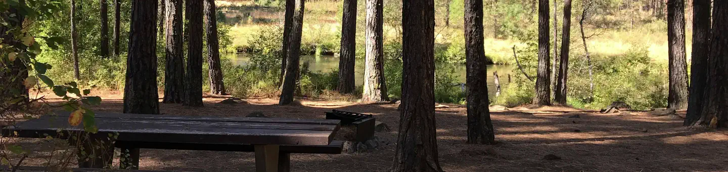
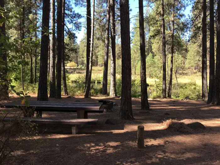
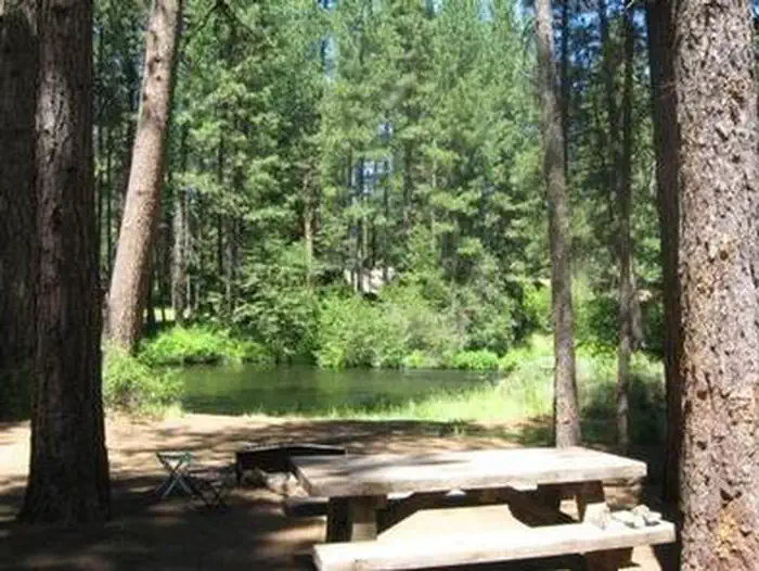
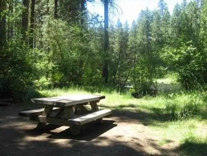
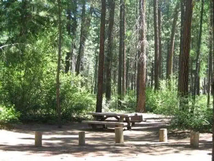
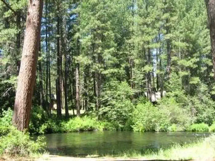
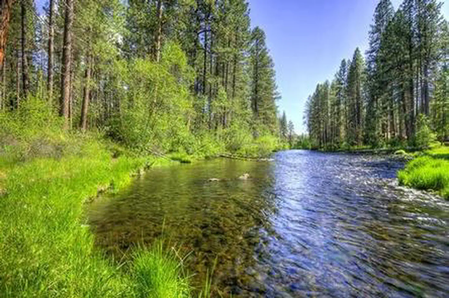
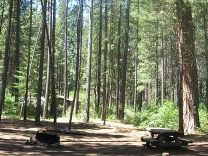
Overview Nestled in Deschutes National Forest, Smiling River Campground offers visitors some of the most stunning scenery in central Oregon and easy access to an abundance of recreational activities. Recreation Hiking and fishing top the list of recreational activities for visitors. For anglers, the spring-fed Metolius river offers a stunning setting for fly-fishing. Its clear, cold water supports rainbow trout, whitefish, bull trout and kokanee salmon. For day hikers and backpackers, the area offers a wide variety of scenic terrain, ranging from riverside trails to routes in subalpine forests. Facilities Smiling River Campground offers sites that accommodate both tent and RV camping, however hookups are not available. Picnic areas, trails and scenic overlooks, along with the conveniences of firewood, drinking water and flush toilets, give visitors the opportunity to enjoy the outdoors while still having many of the conveniences of home. Natural Features Many sites at this campground look out to Metolius River, a tributary of the Deschutes River. The headwaters of the river are at Metolius Springs at the base of Black Butte, a 3,076-foot cinder cone. The clear, cold river flows north from the springs through diverse coniferous forest and a landscape of volcanic activity. The area provides habitat for mammals such as mule deer, coyote and cougar. Migratory birds and native fish also call the area home. Nearby Attractions The Metolius-Windigo Trail, open to hikers, bikers and horses, is more than 100 miles in length, and begins near the Metolius River headwaters west of the town of Sisters, Oregon. The trail was created in the 1980s primarily to serve long-distance horse riders seeking an alternative to the Pacific Crest Trail. Lava Lands Visitor Center in Bend, Oregon, offers visitors the opportunity to learn about the diverse landscape and history of the area through interpretive programs and exhibits. Charges & Cancellations Once your reservation start date has begun, neither the Recreation.gov Contact Center nor the campground manager will be able to modify your reservation.
From the managing agency.
Is SMILING RIVER CAMPGROUND free?
We do not have a fee on record for SMILING RIVER CAMPGROUND. Confirm the cost locally before you go.
How do I get to SMILING RIVER CAMPGROUND?
SMILING RIVER CAMPGROUND is at 44.4933, -121.6406. We do not hold written directions for this one, so navigate to the coordinates.
Nearby
- ALLINGHAM CAMPGROUND0.4 mi
- LOWER CANYON CREEK CAMPGROUND0.6 mi
- GORGE CAMPGROUND0.6 mi
- CAMP SHERMAN CAMPGROUND0.8 mi
- PINE REST CAMPGROUND0.8 mi
- Smiling River Campground1.3 mi
- Allingham Campground1.5 mi
- Camp Sherman Campground2.0 mi
No other services within 50 mi on the record.
SourceSource data is agency published. Last synced September 19, 2026. Community reports and photos are submitted by travelers and are not verified by the agency.
