
Wahoo Bay
Campground · Fee
Fast facts
- Cost
- Fee charged
- Type
- Campground
- Phone
- 918-682-4314
- Coordinates
- 35.8858, -95.2872
- Last verified
- September 19, 2026
About this place
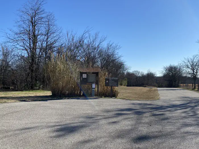
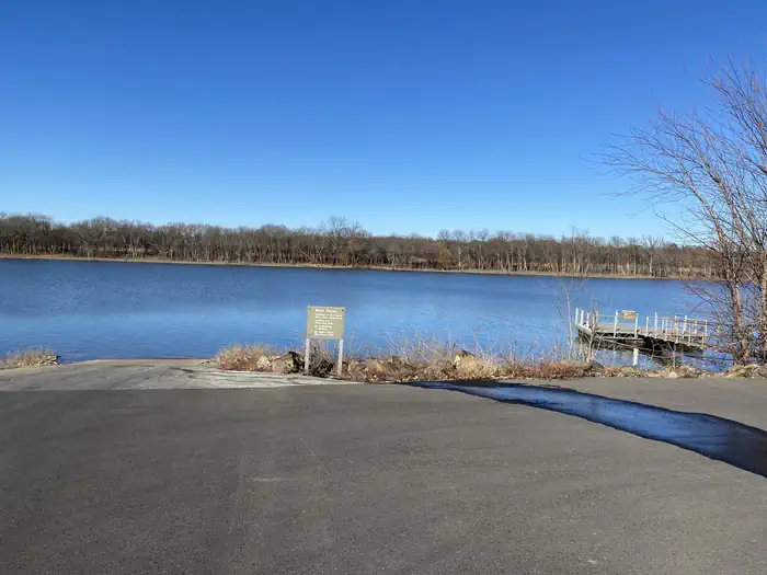
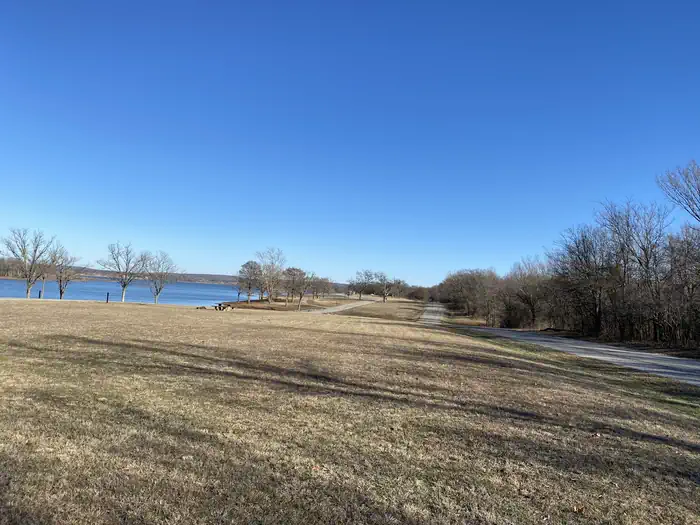
Overview Wahoo Bay is a campground that provides an abundance of shade for rest and relaxation. Located just North of the Fort Gibson Dam, users can easily access the main body of the lake for a variety of water activities. As an added bonus, there are several stores and marinas nearby for supplies and equipment rentals. Boat and RV storage locations are within a few miles of the campground. Recreation The nearly 20,000-acre lake offers excellent boating and swimming opportunities. Anglers enjoy fishing for black bass, white bass, crappie and several varieties of catfish and panfish. The lake's 225 miles of shoreline are home to thousands of acres of public hunting lands, where white-tailed deer, bobwhite quail, mourning dove, duck, geese, cottontail rabbit and squirrel roam. Wahoo Bay offers a variety of recreation activities including camping, boating and swimming. People can enjoy the quietness of the lake tucked away in the cove with amazing scenery. Wahoo Bay has 2 boat ramps in the park as well as a courtesy dock at the main boat ramp. Facilities Wahoo Bay is equipped with 20 campsites within the park. There are severel water hookups throughout the park where campers can fill up water tanks. There is also a vault toilet located by the boat ramp parking lot.
From the managing agency.
Is Wahoo Bay free?
No. Wahoo Bay charges a fee.
How do I get to Wahoo Bay?
Wahoo Bay is at 35.8858, -95.2872. We do not hold written directions for this one, so navigate to the coordinates.
Nearby
- DAM SITE (FORT GIBSON LAKE)3.3 mi
- TAYLOR FERRY3.4 mi
- Tullahasse Loop8.9 mi
- ROCKY POINT (FT GIBSON)10.4 mi
- BLUE BILL POINT11.2 mi
- FLAT ROCK CREEK11.2 mi
- Afton Landing 12.5 mi
- PETTIT BAY21.1 mi
No other services within 50 mi on the record.
SourceSource data is agency published. Last synced September 19, 2026. Community reports and photos are submitted by travelers and are not verified by the agency.
