
DAM SITE (FORT GIBSON LAKE)
Campground · Fee not listed
Fast facts
- Cost
- Not listed. Check locally.
- Type
- Campground
- Phone
- 918-682-4314
- Coordinates
- 35.8678, -95.2336
- Last verified
- September 19, 2026
About this place
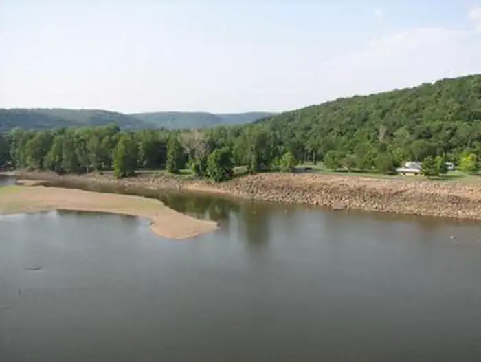
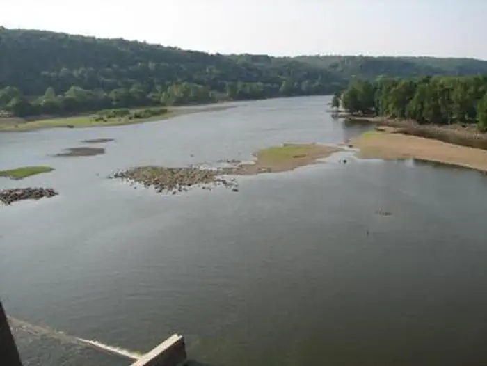
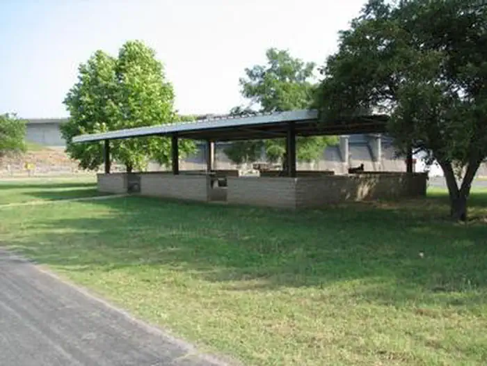
Overview Dam Site Campground is situated below Fort Gibson Dam on the west bank of the Grand River in northeastern Oklahoma. The campground was severely damaged during the 2019 flood. None of the campsites offer water or electric. The campground is open for day use and primitive camping. The group shelter and Overlook shelter are only reservable through recreation.gov Recreation The nearly 20,000-acre lake offers great boating and swimming opportunities. Anglers enjoy fishing for black bass, white bass, crappie and several varieties of catfish and panfish. The lake's 225 miles of shoreline are home to thousands of acres of public hunting lands, where white-tailed deer, bobwhite quail, mourning dove, duck, geese, cottontail rabbit and squirrel roam. Facilities This seasonal campground offers 23 primitive campsites. Large family groups can take advange of the group day use shelter within the park, as well as, one located at the Overlook. Natural Features Fort Gibson Lake sits nearly 8 miles from the confluence of the Grand and Arkansas Rivers. An oak-hickory woodland covers the rolling hills of the region. A wide variety of waterfowl migrates through the area annually and provides plenty of opportunities for bird watchers. Nearby Attractions Historic Fort Gibson, established in 1824, served as an important military post on the western frontier for close to 70 years. Now a National Historical Landmark, the site is open to the public year round. Volunteers reenact the lifestyle of the late 1800s during various events held throughout the year. A reconstructed log stockade, and original barracks, hospital, bakehouse and other structures still stand today.
From the managing agency.
Is DAM SITE (FORT GIBSON LAKE) free?
We do not have a fee on record for DAM SITE (FORT GIBSON LAKE). Confirm the cost locally before you go.
How do I get to DAM SITE (FORT GIBSON LAKE)?
DAM SITE (FORT GIBSON LAKE) is at 35.8678, -95.2336. We do not hold written directions for this one, so navigate to the coordinates.
Nearby
- Wahoo Bay3.3 mi
- TAYLOR FERRY5.4 mi
- Tullahasse Loop12.0 mi
- ROCKY POINT (FT GIBSON)12.8 mi
- FLAT ROCK CREEK13.3 mi
- BLUE BILL POINT13.4 mi
- Afton Landing 15.7 mi
- PETTIT BAY17.9 mi
No other services within 50 mi on the record.
SourceSource data is agency published. Last synced September 19, 2026. Community reports and photos are submitted by travelers and are not verified by the agency.
