
Sandy Park
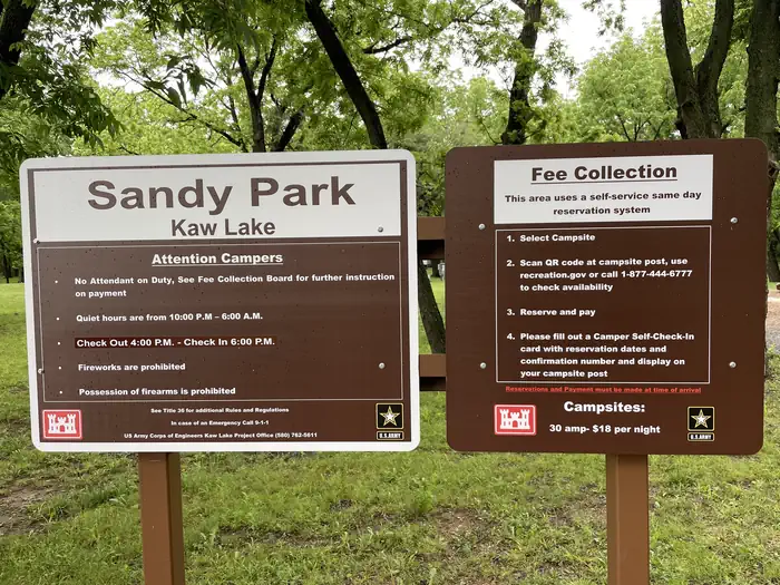
Campground · Fee not listed
Fast facts
- Cost
- Not listed. Check locally.
- Type
- Campground
- Phone
- 580-762-5611
- Coordinates
- 36.6939, -96.9213
- Last verified
- September 19, 2026
About this place
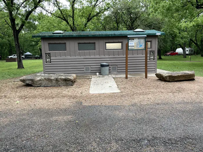
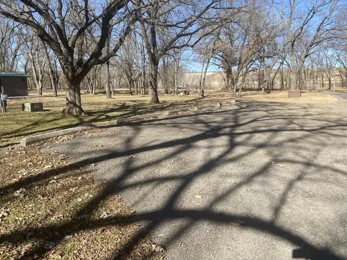
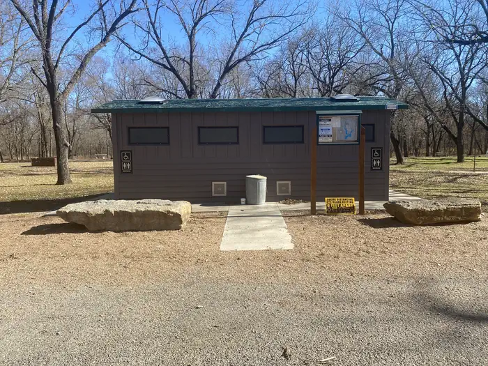
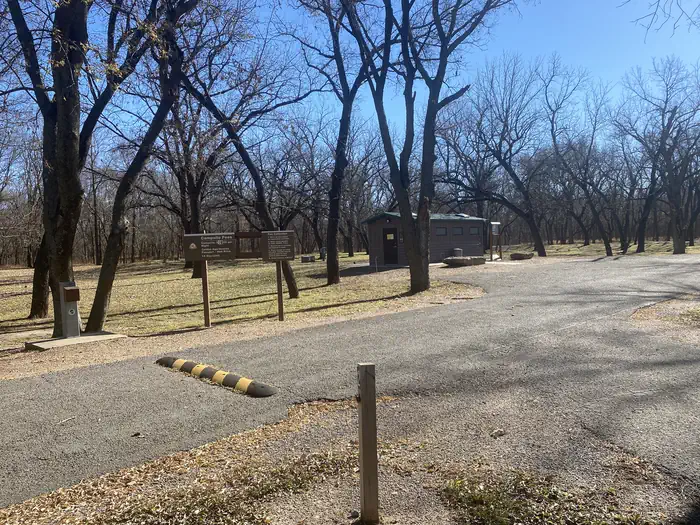
Overview Sandy Park Campground is located just below the Kaw Lake Dam. This campground is rural, quiet, wooded, and provides both sunny and shaded sites. Recreation Hikers and horseback riders are attracted to the beautiful trails along the eastern shore. The Eagle View Hiking Trail is approximately 12 miles long and runs between Osage Cove and Burbank Landing. The Five Fingers Equestrian Trail extends from Burbank Landing to the Sarge Creek Cove Public Use Area. Hunters' skills are tested with excellent populations of whitetail deer, turkey, quail, rabbit and squirrel. During the fall waterfowl seasons Kaw Lake often attracts large numbers of migrating ducks and geese. During the winter visitors are likely to spot migrating bald eagles, as Kaw Lake has one of the biggest populations in the state. Facilities Sandy Park Campground offers 12 campsites with modern amenities like electric hookups, drinking water and flush toilets. A boat ramp provides easy access to the Arkansas River. Nearby Attractions The area holds several historical sites, including several Native American settlements, archeological sites and the Pioneer Woman Museum.
From the managing agency.
Is Sandy Park free?
We do not have a fee on record for Sandy Park. Confirm the cost locally before you go.
How do I get to Sandy Park?
Sandy Park is at 36.6939, -96.9213. We do not hold written directions for this one, so navigate to the coordinates.
Nearby
- McFadden Cove0.9 mi
- OSAGE COVE1.8 mi
- COON CREEK (OK)6.3 mi
- WASHUNGA BAY8.0 mi
- SARGE CREEK8.0 mi
- BEAR CREEK COVE10.1 mi
- TWIN COVE POINT43.5 mi
- BIRCH COVE43.6 mi
No other services within 50 mi on the record.
SourceSource data is agency published. Last synced September 19, 2026. Community reports and photos are submitted by travelers and are not verified by the agency.
