
McFadden Cove
Campground · Fee
Fast facts
- Cost
- Fee charged
- Type
- Campground
- Phone
- 580-762-5611
- Coordinates
- 36.7009, -96.9341
- Last verified
- September 19, 2026
About this place
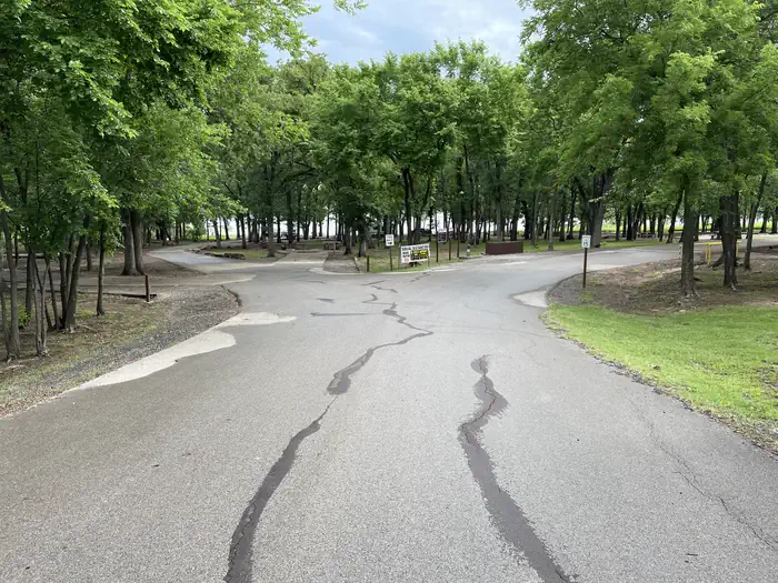
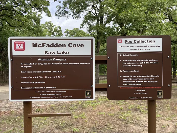
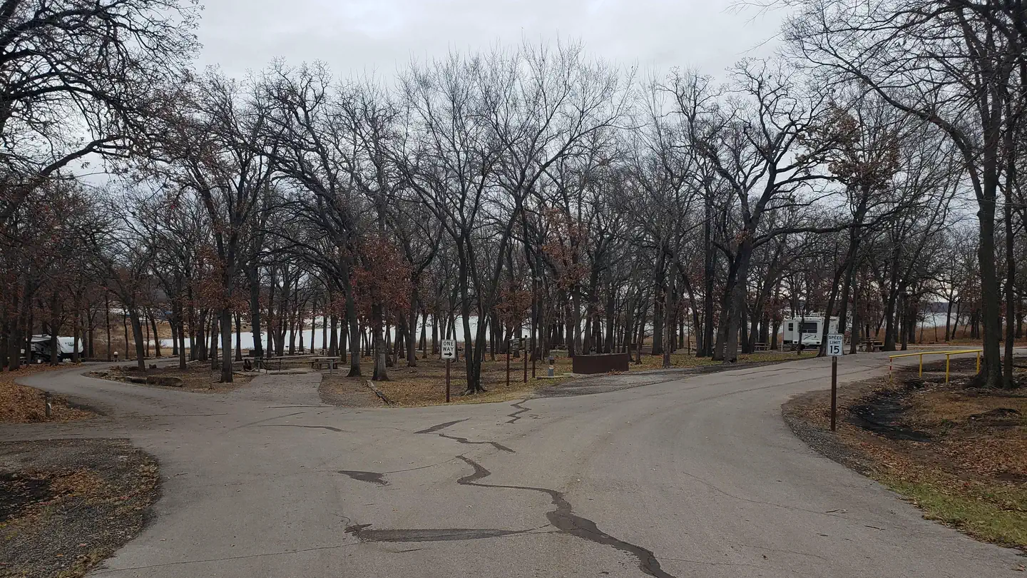
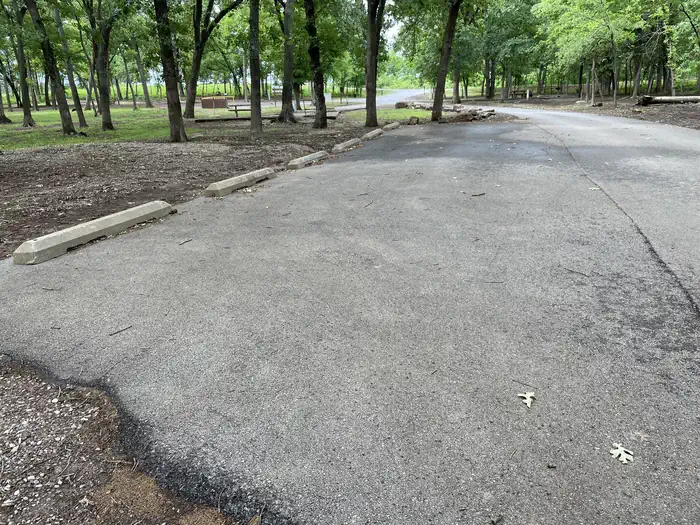
Overview McFadden Cove is a small campground situated along the banks of Kaw Lake in north central Oklahoma. It is located near Kaw Lake dam and Hideaway Marina and convenient to several recreational day use areas. Recreation The lake and river are known for producing some of Oklahoma's largest catfish, as well as crappie, white bass and walleye, making it a popular destination for anglers. Hunters' skills are tested with excellent populations of whitetail deer, turkey, quail, rabbit and squirrel. During the fall waterfowl seasons Kaw Lake often attracts large numbers of migrating ducks and geese. During the winter visitors are likely to spot migrating bald eagles, as Kaw Lake has one of the biggest populations in the state. Facilities McFadden Cove Campground offers 15 campsites with amenities including electric and individual water hookups as well as a vault toilet. The boat ramp is right around the bend. Natural Features The lake covers 17,000 surface acres and has 168 miles of shoreline. Completed in 1976, the dam and lake help provide a recreational oasis for outdoor enthusiasts of all types. Nearby Attractions The area holds a number of historical sites, including several Native American settlements, archeological sites and the Pioneer Woman Museum.
From the managing agency.
Is McFadden Cove free?
No. McFadden Cove charges a fee.
How do I get to McFadden Cove?
McFadden Cove is at 36.7009, -96.9341. We do not hold written directions for this one, so navigate to the coordinates.
Nearby
- Sandy Park0.9 mi
- OSAGE COVE2.2 mi
- COON CREEK (OK)5.8 mi
- WASHUNGA BAY8.0 mi
- SARGE CREEK8.3 mi
- BEAR CREEK COVE9.7 mi
- TWIN COVE POINT44.3 mi
- BIRCH COVE44.4 mi
No other services within 50 mi on the record.
SourceSource data is agency published. Last synced September 19, 2026. Community reports and photos are submitted by travelers and are not verified by the agency.
