
POWERHOUSE GROUP PICNIC AREA
Campground · Fee not listed
Fast facts
- Cost
- Not listed. Check locally.
- Type
- Campground
- Phone
- 775-752-3357
- Coordinates
- 40.6847, -115.4669
- Last verified
- September 19, 2026
About this place
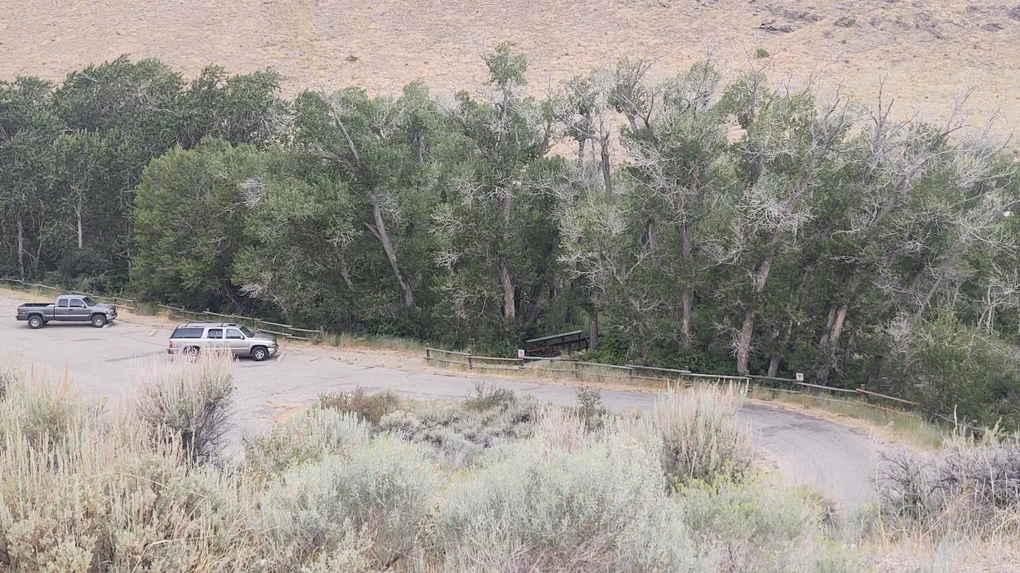
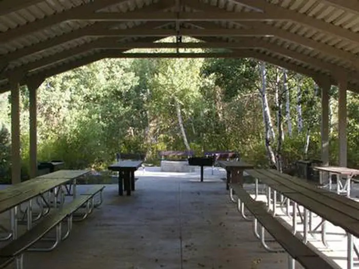
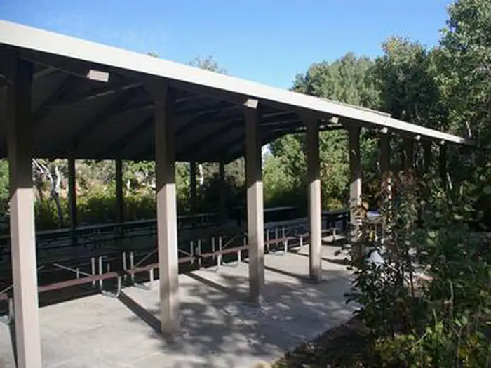
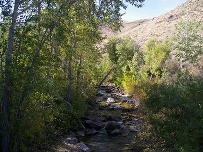
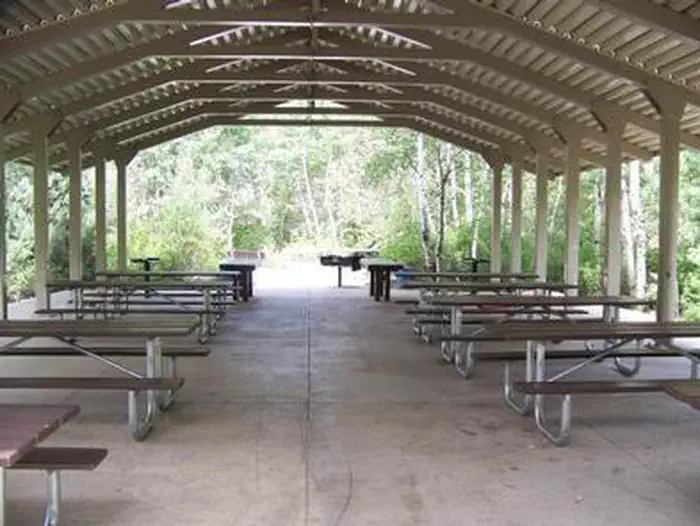
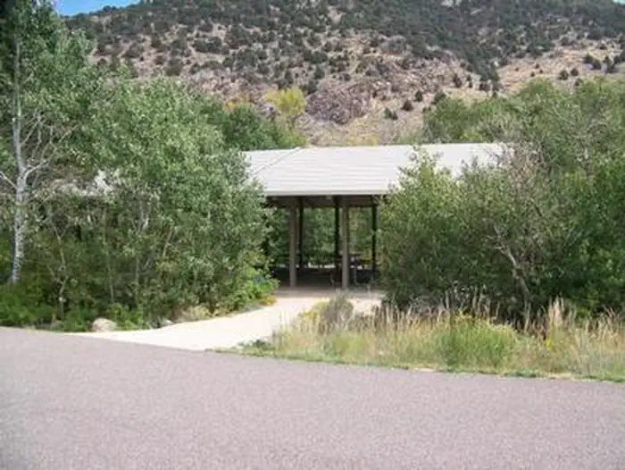
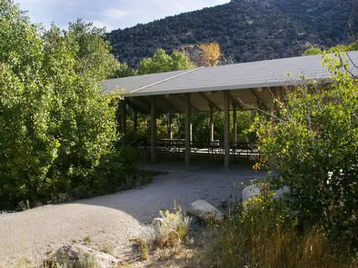
Overview Powerhouse Group Picnic Area is set in scenic Lamoille Canyon, next to Lamoille Creek, at an elevation of 6,500 feet. Elko, in northeastern Nevada, is just 25 miles away. Visitors enjoy fishing and exploring local trails. Recreation Fishing for rainbow and brook trout is popular on the creek. Lamoille Canyon contains numerous hiking and horseback riding trails that lead to alpine lakes and scenic vistas. The canyon road itself, Lamoille Canyon Scenic Byway, is popular for scenic driving and road biking. Facilities This day-use picnic area was constructed in 2003 and is a fully accessible site. A large shelter covers several picnic and serving tables, two grills and a campfire circle with benches. Accessible vault toilets and trash collection are provided but drinking water is not available. A large parking area is adjacent to the site, accommodating 25 through 30 vehicles. Natural Features The picnic area is situated at the mouth of Lamoille Canyon, a part of the beautiful Ruby Mountains. The area is a desert island brimming with wildlife, sparkling lakes and streams, wildflower-filled meadows and jagged peaks. The shelter is surrounded by a stand of shady aspens. Lamoille Creek runs through the site. Contact Info For facility specific information, please call (775) 738-5171. Nearby Attractions Powerhouse Picnic Area is located on the opposite side of Lamoille creek, and is a first come, first serve day use area for picnicking, with designated sites along the creek that include a picnic table, grill, and fire pit. A vault toilet is also available
From the managing agency.
Is POWERHOUSE GROUP PICNIC AREA free?
We do not have a fee on record for POWERHOUSE GROUP PICNIC AREA. Confirm the cost locally before you go.
How do I get to POWERHOUSE GROUP PICNIC AREA?
POWERHOUSE GROUP PICNIC AREA is at 40.6847, -115.4669. We do not hold written directions for this one, so navigate to the coordinates.
Nearby
- Thomas Canyon Campground4.1 mi
- THOMAS CANYON4.1 mi
- TERRACES CAMPGROUND - PICNIC AREA6.4 mi
- Angel Lake Campground30.9 mi
- Angel Lake (Humboldt-Toiyabe National Forest, NV)31.0 mi
- Angel Creek Campground31.9 mi
- Angel Creek (Humboldt-Toiyabe National Forest, NV)32.3 mi
- South Ruby Campground35.0 mi
No other services within 50 mi on the record.
SourceSource data is agency published. Last synced September 19, 2026. Community reports and photos are submitted by travelers and are not verified by the agency.
