
Angel Lake (Humboldt-Toiyabe National Forest, NV)
Campground · Fee not listed
Fast facts
- Cost
- Not listed. Check locally.
- Type
- Campground
- Phone
- 775-752-3357
- Coordinates
- 41.0328, -115.0919
- Last verified
- September 19, 2026
About this place
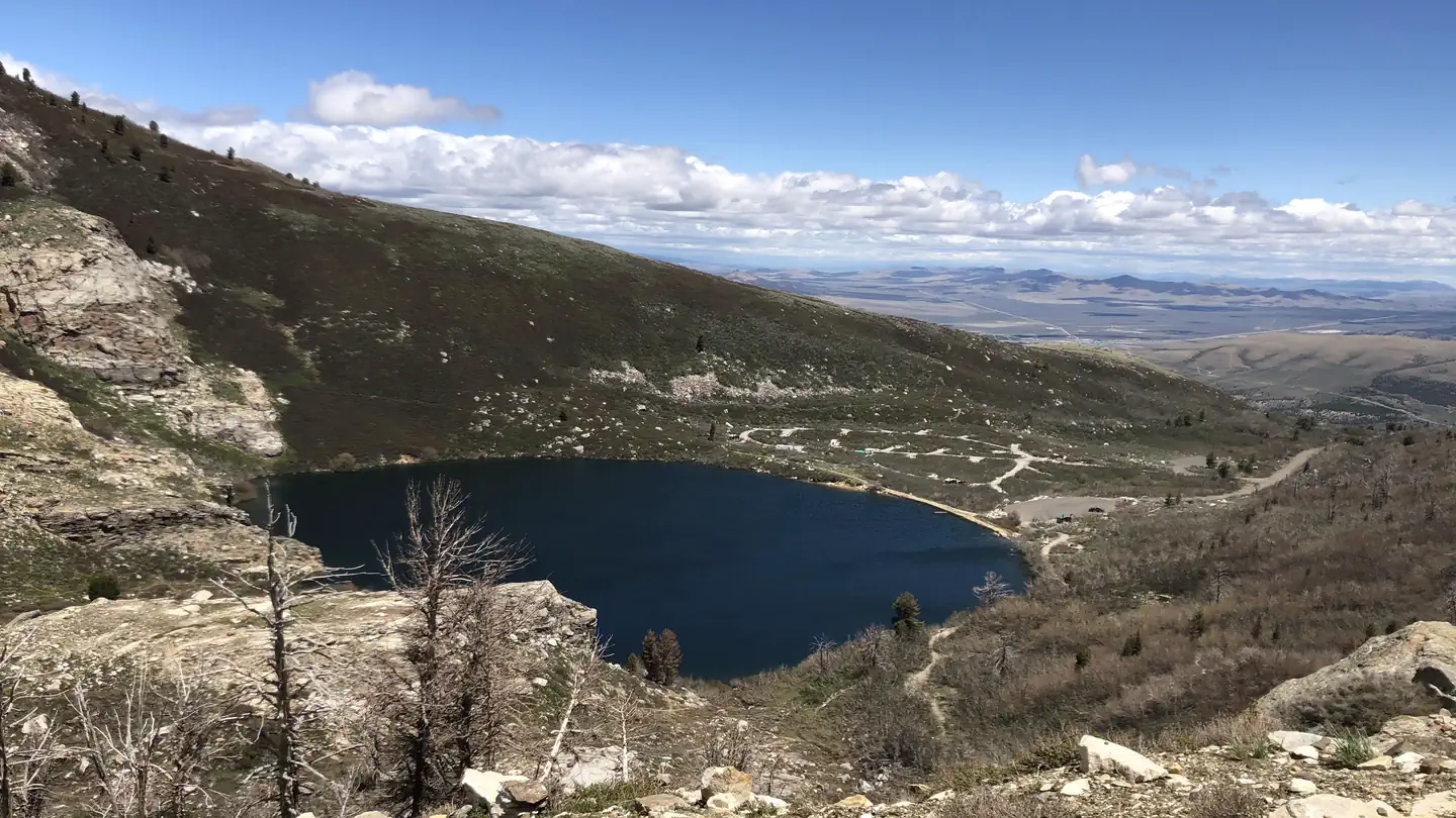
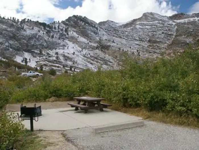
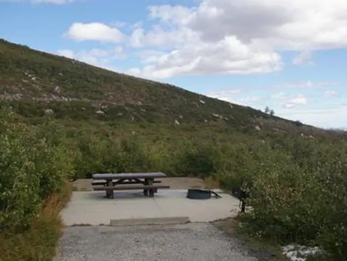
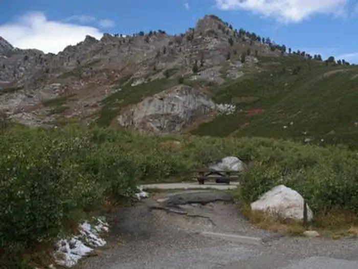
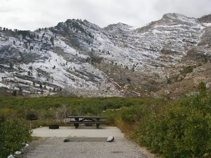
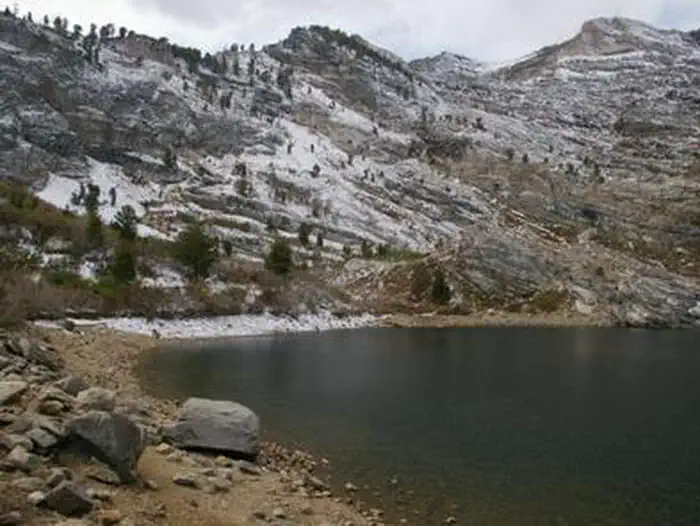
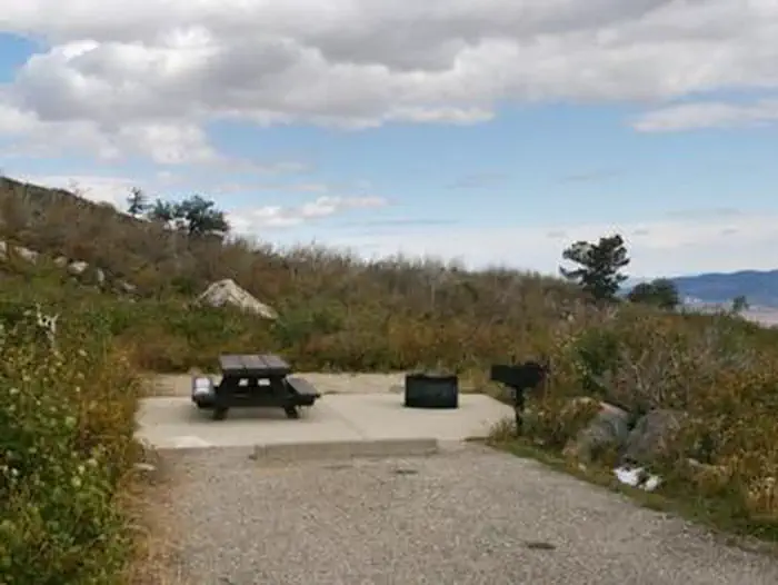
Overview Angel Lake Campground is located next to beautiful Angel Lake, high on the East Humboldt Mountain Range. It sits at an elevation of 8,400 feet, just 12 miles from the city of Wells, in northeast Nevada. Visitors enjoy canoeing, fishing, hiking and viewing wildlife. Recreation Angel Lake offers great canoeing and fishing for rainbow and brook trout. Smith Lake Trail begins at the campground entrance. Facilities The campground offers single and double campsites, some of which have lake views. Each site contains a picnic table, campfire ring and grill. Vault toilets are also available. A day-use picnic area is adjacent to the campground, along the lakeshore. Natural Features The campground sits at the foot of rugged and scenic glacial cirques, that top out around 10,000 feet. Dwarf aspens cover the campground, providing privacy between campsites, but little to no shade. A variety of wildlife, including bighorn sheep, mountain goats, deer and birds of prey, make its home around the lake, creating good viewing opportunities.
From the managing agency.
Is this site free?
We do not have a fee on record for this site. Confirm the cost locally before you go.
How do I get to this site?
this site is at 41.0328, -115.0919. We do not hold written directions for this one, so navigate to the coordinates.
Nearby
- Angel Lake Campground0.6 mi
- Angel Creek Campground2.0 mi
- Angel Creek (Humboldt-Toiyabe National Forest, NV)2.0 mi
- POWERHOUSE GROUP PICNIC AREA31.0 mi
- THOMAS CANYON31.1 mi
- TERRACES CAMPGROUND - PICNIC AREA31.2 mi
- Thomas Canyon Campground31.3 mi
- Slide Creek Campground32.6 mi
No other services within 50 mi on the record.
SourceSource data is agency published. Last synced September 19, 2026. Community reports and photos are submitted by travelers and are not verified by the agency.
