
MOUNT ROSE (NV)
Campground · Fee not listed
Fast facts
- Cost
- Not listed. Check locally.
- Type
- Campground
- Phone
- 530-694-1002
- Nearest dump station
- Logger Dump Station · 15.9 mi
- Nearest water fill
- Indian Creek Camp Ground-Potable Water · 39.3 mi
- Coordinates
- 39.3123, -119.8974
- Last verified
- September 19, 2026

About this place
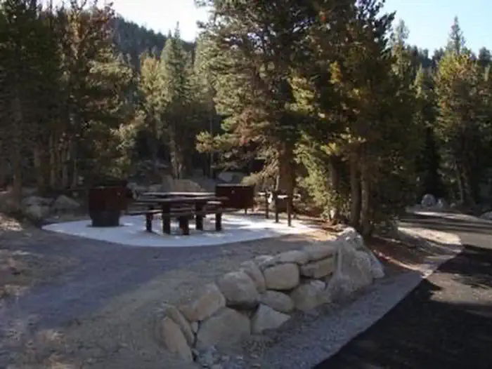
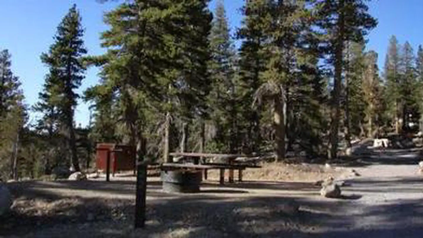
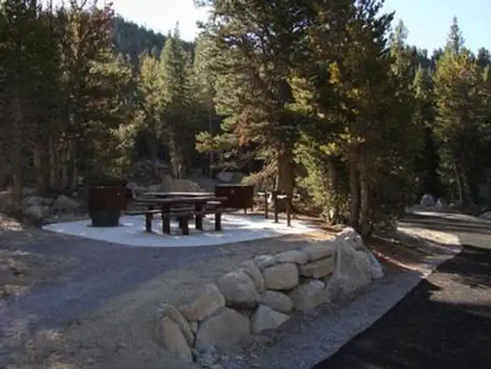
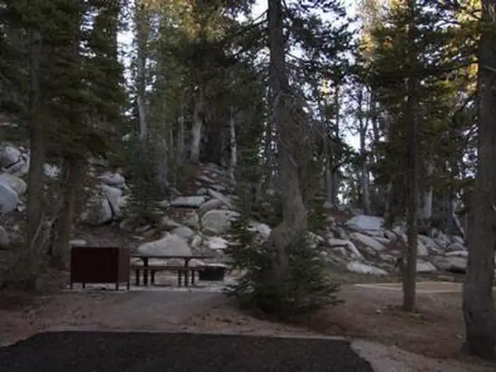
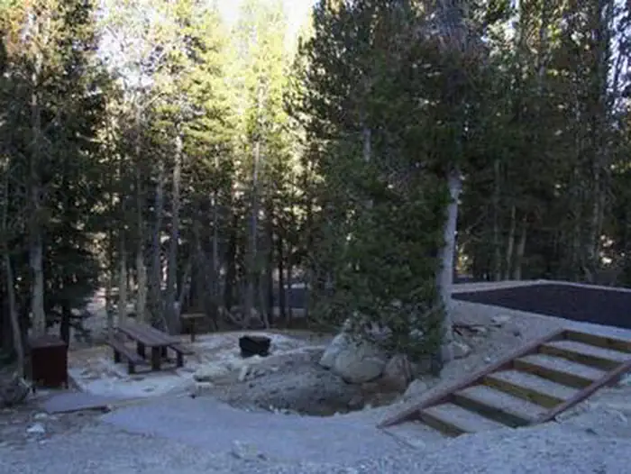
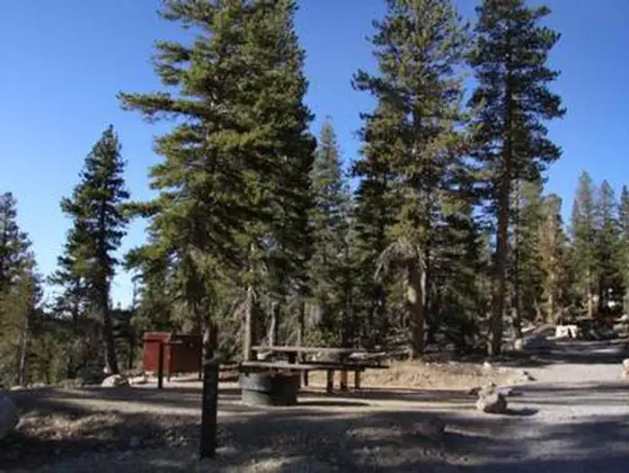
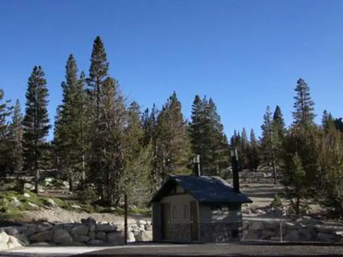
Overview Mount Rose Campground is conveniently located between Reno and Lake Tahoe just off scenic Mount Rose Highway. Visitors love the campground for its proximity to excellent hiking trails and recreational opportunities at Lake Tahoe. Recreation Hiking is the most popular pastime at Mount Rose. Several trails, including the Tahoe Meadows, Tahoe Rim, Mount Rose Wilderness and Mount Rose Summit Trails, begin very close to the campground. Facilities Mount Rose contains single and double-family sites, as well as one triple-family site. Six of the single sites are for tent camping only. Picnic and utility tables, campfire rings, grills and food storage lockers are provided, as are vault toilets and drinking water. Roads and parking spurs throughout the site are paved. Natural Features The campground is situated high on the western slope of Mount Rose at an elevation of 9,300 feet. A scenic forest of lodgepole pine, Jeffrey pine, white pine and red fir covers the campground, offering pleasant shade in most sites. Nearby Attractions Mount Rose is conveniently close to beautiful Lake Tahoe, less than 30 minutes away. Tahoe offers excellent boating, kayaking, fishing, hiking and scenic driving opportunities.
From the managing agency.
Is MOUNT ROSE (NV) free?
We do not have a fee on record for MOUNT ROSE (NV) . Confirm the cost locally before you go.
How do I get to MOUNT ROSE (NV) ?
MOUNT ROSE (NV) is at 39.3123, -119.8974. We do not hold written directions for this one, so navigate to the coordinates.
Nearby
SourceSource data is agency published. Last synced September 19, 2026. Community reports and photos are submitted by travelers and are not verified by the agency.
