
Badgers Den at Camp Richardson Resort
Campground · Fee not listed
Fast facts
- Cost
- Not listed. Check locally.
- Type
- Campground
- Phone
- (800)544-1801 or (530)541-1801
- Nearest dump station
- Indian Creek Camp Ground-Trailer Dump Site · 19.4 mi
- Nearest water fill
- Indian Creek Camp Ground-Potable Water · 18.8 mi
- Coordinates
- 38.9344, -120.0408
- Last verified
- September 19, 2026
About this place
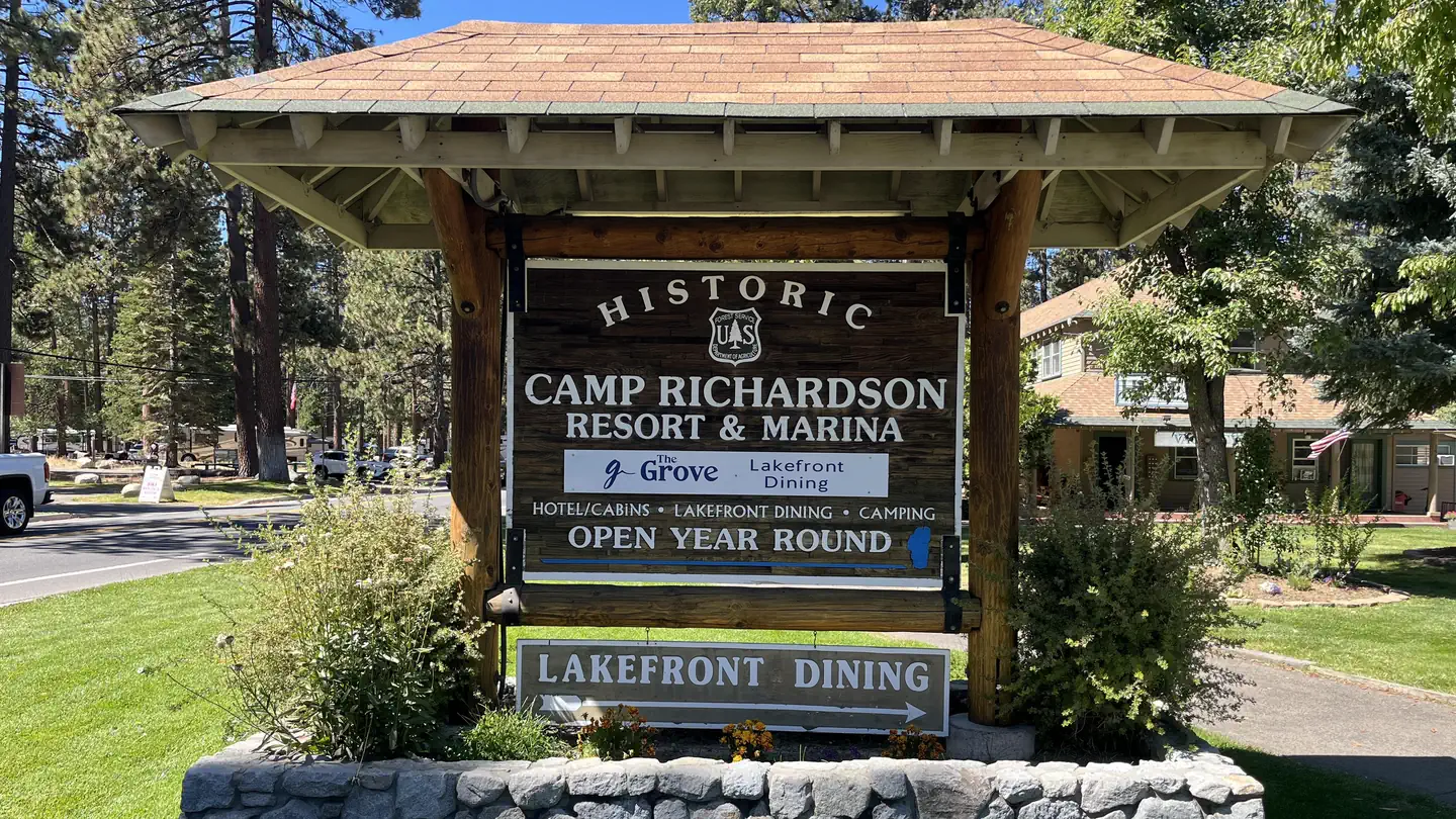
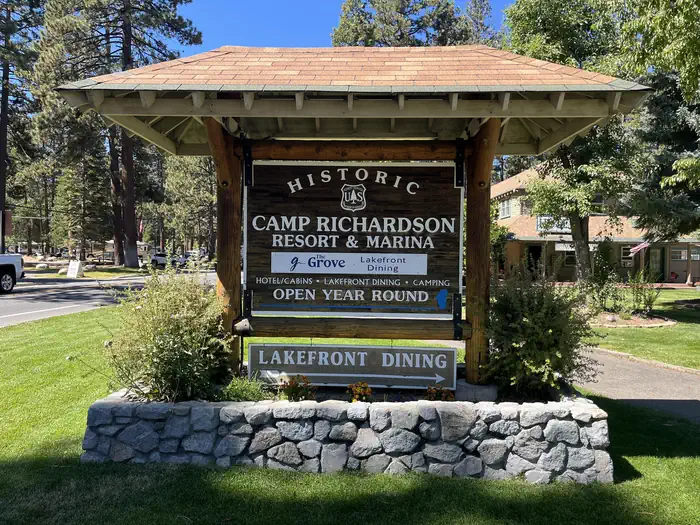
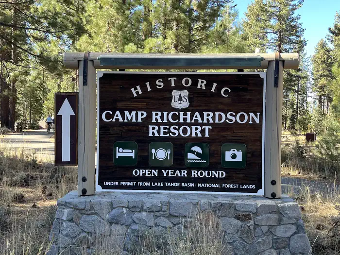
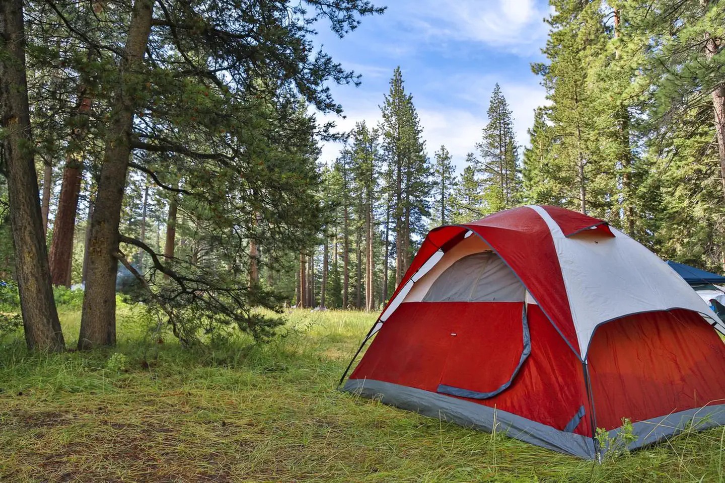
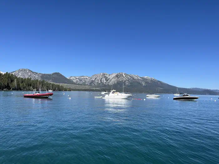
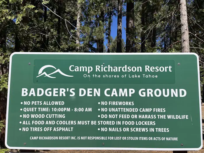
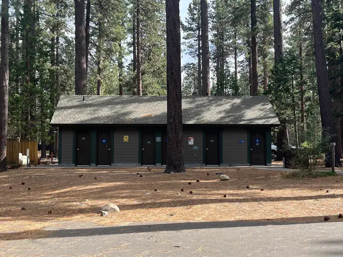
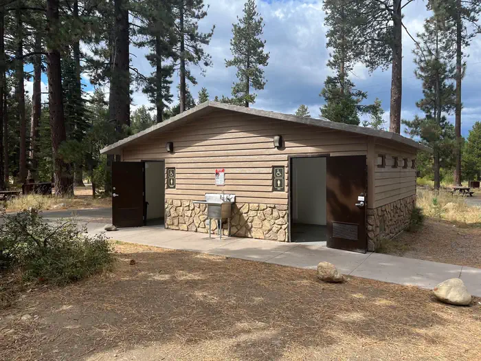
Overview Badger’s Den Campground provides a Lake Tahoe and Camp Richardson Resort experience unlike any other. Featuring beach access, and all the amenities you can think of within walking distance, guests get to bask in the remarkable beauty of Tahoe without sacrificing the resort experience. The campground has 66 single standard tent sites and 18 standard double tent sites. Each campsite has a bear-proof food locker, picnic table, and fire pit with cooking grate. Tent camping only in this campground. No RVs allowed. Recreation Historic Camp Richardson Resort offers everything wonderful about outdoor recreation in Lake Tahoe. Recreational activities include biking, camping, fishing, hiking, sandy beach access, boating, paddling and more! Facilities Badger's Den Campground is nestled in the beautiful pines of the Sierra Nevadas. A short 10 minute walk to Lake Tahoe along a paved bike path. There is a Bar and Grill, General Store with Deli, Full Service Marina, and Ice Cream Parlor on site. Each site is equipped with a picnic table, campfire ring with grate for cooking, and a bear-proof food storage locker. Tent sites have paved parking pads. Accessible flush toilets and coin operated showers are available. Tent camping only in this campground. No RVs allowed. Fire wood and camping supplies are available for purchase at the General Store. Check in is at the Eagle's Nest Campground Kiosk located across HWY 89. On-site security, Property is staffed 24 hrs. This is not a pet-friendly resort. Only service dogs accepted. Natural Features The resort’s unrivaled location on Lake Tahoe’s southern shore offers access to breathtaking natural wonders at an elevation of 6225 feet. Guests are surrounded by the crystal-clear waters of Lake Tahoe, the towering Sierra Nevada mountains, and the lush, fragrant forests of the surrounding area. The resort’s scenic beauty is a constant invitation for outdoor activities, from hiking and biking to water sports. Nearby Attractions Tallac Historic Site, Emerald Bay, Pope Beach, Baldwin Beach, Fallen Leaf Lake, Mt. Tallac. Contact Info For facility specific information, please call (530) 494-2228.
From the managing agency.
Is this site free?
We do not have a fee on record for this site. Confirm the cost locally before you go.
How do I get to this site?
this site is at 38.9344, -120.0408. We do not hold written directions for this one, so navigate to the coordinates.
Nearby
- Eagles Nest at Camp Richardson Resort0.0 mi
- RV Village Campground at Camp Richardson Resort0.0 mi
- FALLEN LEAF CAMPGROUND0.6 mi
- Bayview Trailhead and Day-Use Area3.2 mi
- Nevada Beach Campground5.8 mi
- HOPE VALLEY6.5 mi
- Zephyr Cove RV & Campground7.1 mi
- Meeks Bay Campground8.3 mi
- Indian Creek Camp Ground-Trailer Dump Site19.4 mi
- Indian Creek Camp Ground-Potable Water18.8 mi
SourceSource data is agency published. Last synced September 19, 2026. Community reports and photos are submitted by travelers and are not verified by the agency.
