
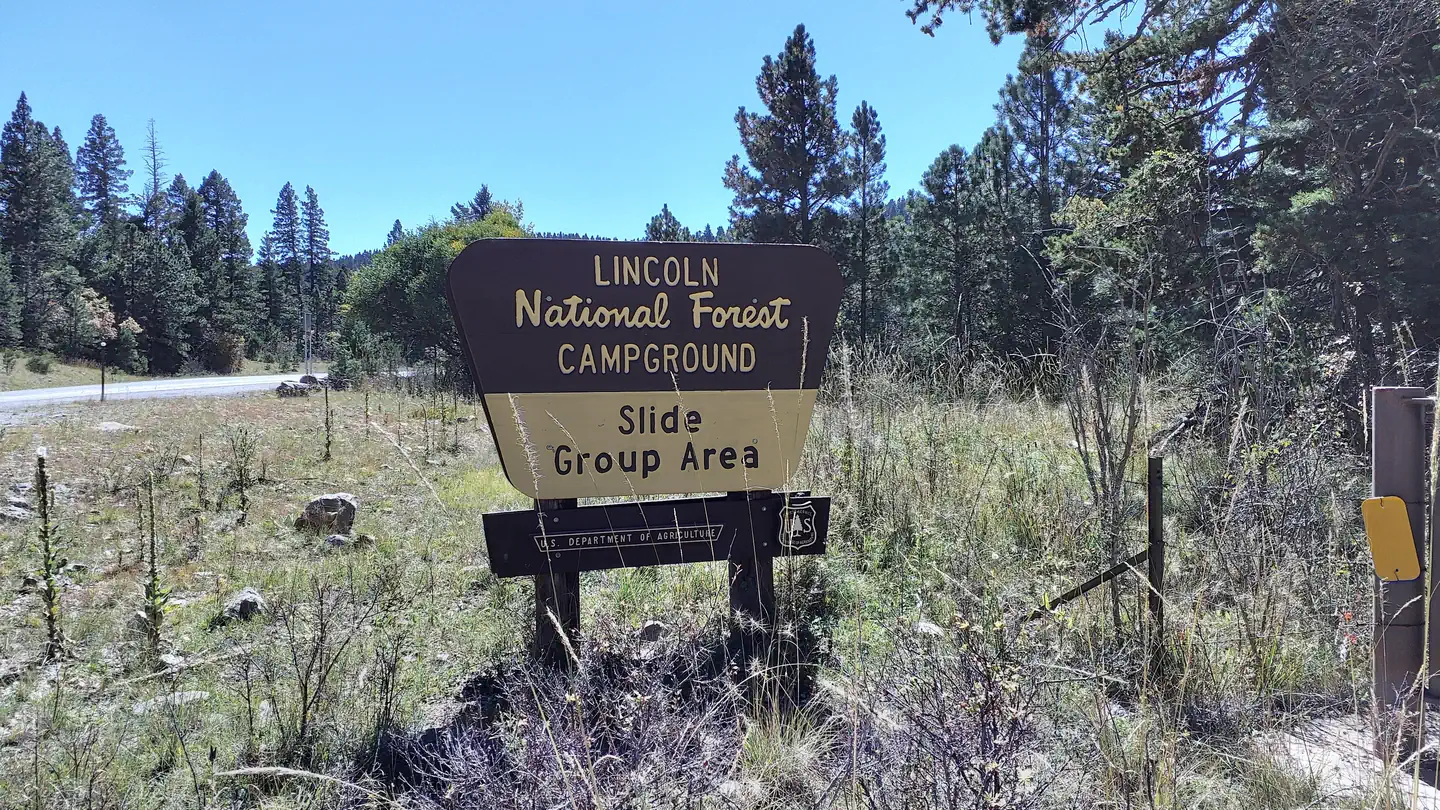
SLIDE GROUP AREA
Campground · Fee
Fast facts
- Cost
- Fee charged
- Type
- Campground
- Phone
- 575-682-7570
- Coordinates
- 32.7897, -105.8203
- Last verified
- September 19, 2026

About this place
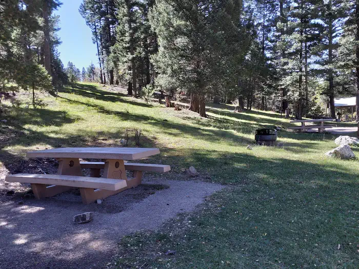
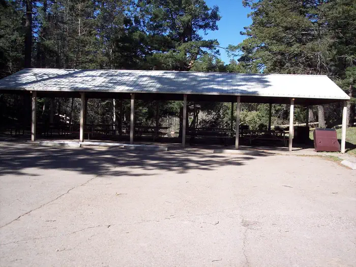
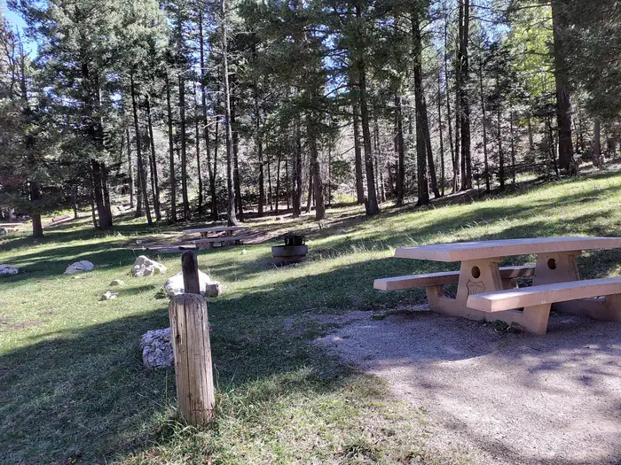
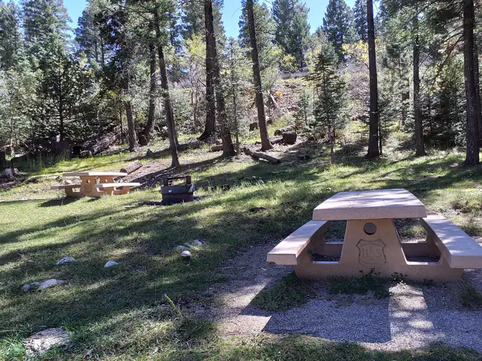
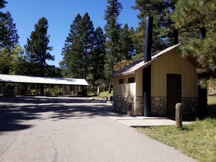
Overview Just two miles from the village of Cloudcroft is this idyllic campground accommodating groups up to 90 visitors. Take advantage of the views of the Tularosa Basin or bask in the sun on the wildflower-dusted mountain meadow. A network of trails surround the campground, where you can look for deer, elk, and many types of birds. The region is part of the 1.1 million acres of Lincoln National Forest, where the original Smokey Bear was rescued as a cub from a forest fire. There's no shortage of beauty in the area, with expansive blue skies, clear nights for stargazing, and hikes to several peaks and overlooks. Attractions in the vicinity include White Sands National Monument, the Oliver Lee Memorial State Park, and the Sunspot Museum - home to the national solar observatory. Recreation Slide Group Area backs into the Rim Trail, offering epic views, rocky hills, and switchbacks. Head north on the trail for mountain biking, hiking, and horse-back riding. Head south for the part of the trail that allows motorcycles. An open meadow, perfect for sports like volleyball, corn hole, or football, is connected to the campsite. Facilities The picturesque overlook and convenient road access are unique, convenient features of this group site. Parking can accommodate approximately 12 trailers or 50 automobiles. Natural Features The campground is located on the rim of the Sacramento Mountains with a view of the Tularosa Basin. Mixed evergreen and aspens surround the 9,000 ft. elevation site. Contact Info For facility specific information, please call (575) 682-1518. Nearby Attractions Drive along the Sunspot Scenic Byway to catch phenomenal views of the Tularosa Basin, White Sands National Monument, and colorful desert sunsets. Cloudcroft, a quaint mountain village nearby, is also worth a visit.
From the managing agency.
Is SLIDE GROUP AREA free?
No. SLIDE GROUP AREA charges a fee.
How do I get to SLIDE GROUP AREA?
SLIDE GROUP AREA is at 32.7897, -105.8203. We do not hold written directions for this one, so navigate to the coordinates.
Nearby
- BLACK BEAR GROUP AREA10.1 mi
- SLIDE GROUP AREA11.0 mi
- Black Bear Gc11.3 mi
- Aspen11.3 mi
- Deerhead11.5 mi
- Deerhead Campground11.5 mi
- Sleepy Grass11.5 mi
- UPPER FIR GROUP AREA12.7 mi
No other services within 50 mi on the record.
SourceSource data is agency published. Last synced September 19, 2026. Community reports and photos are submitted by travelers and are not verified by the agency.
