
BLACK BEAR GROUP AREA
Campground · Fee
Fast facts
- Cost
- Fee charged
- Type
- Campground
- Phone
- 575-682-7570
- Coordinates
- 32.9208, -105.7417
- Last verified
- September 19, 2026


About this place
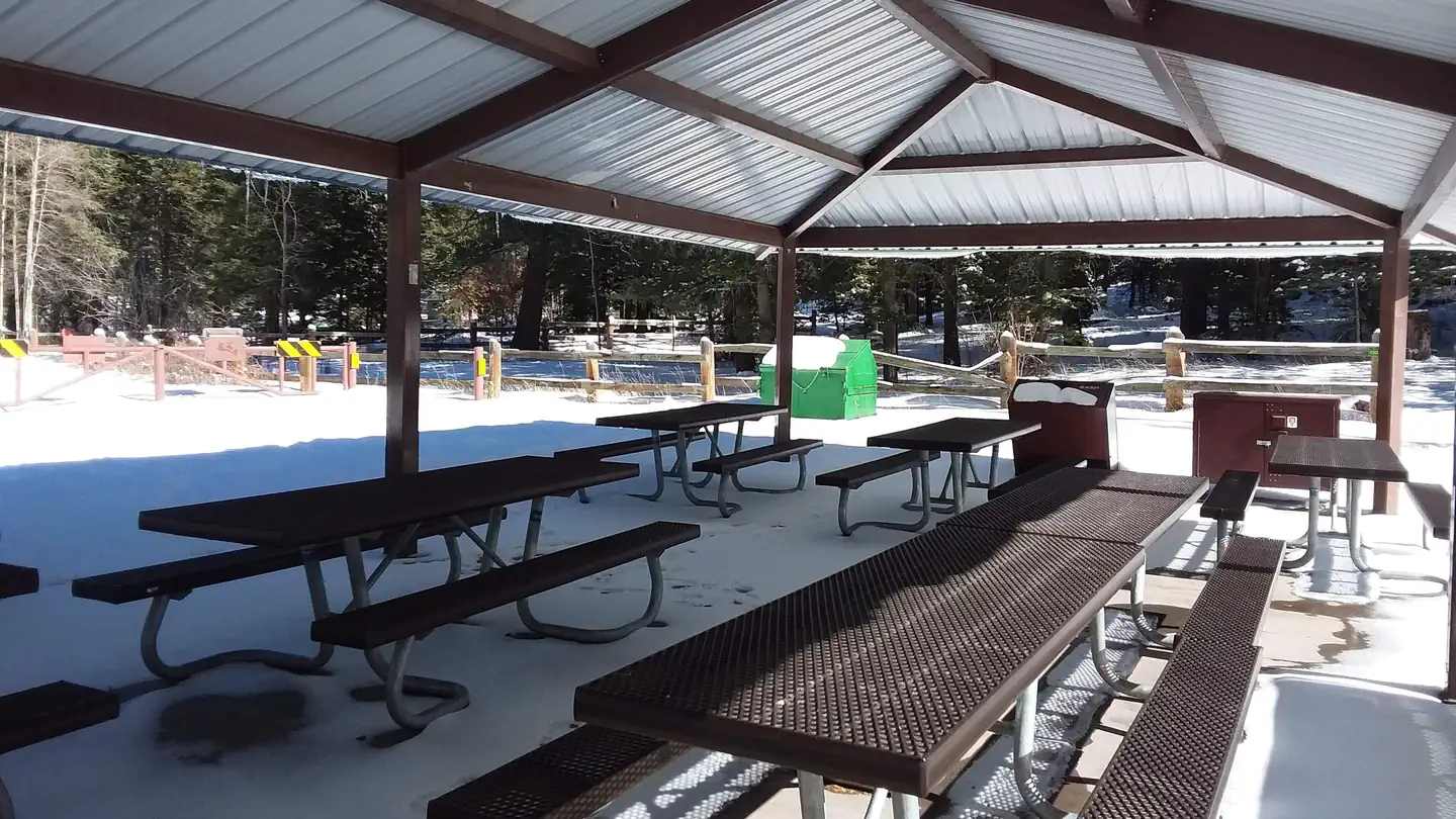
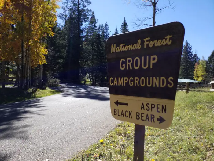
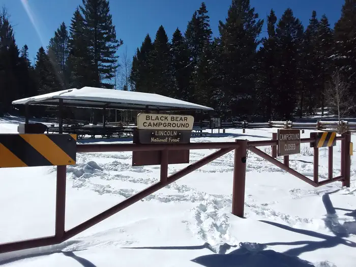
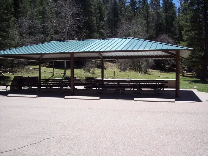
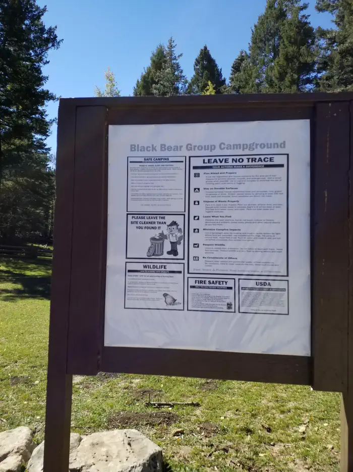
Overview Black Bear is perched atop the scenic Sacramento Mountains of south-central New Mexico, near Alamogordo and Cloudcroft. The site is surrounded by the aromatic pine trees and aspen groves of Lincoln National Forest. The group area is conveniently connected to a network of hiking and biking trails. Bring your camera and binoculars for the chance to spot elk, deers, birds, and even black bear. The black bears are arguably the most celebrated wildlife in the area due to the fact that the original Smokey Bear was found here. While battling a fire in 1950, firefighters rescued a burned bear cub clinging to a scorched tree in Lincoln National Forest. The bear was adopted by the US Forest Service and became the real-life mascot for forest fire prevention. Recreation Evening skies are often clear of clouds - bring a telescope for stargazing. The campground is surrounded by a series of hiking trails. A popular hike is the Osha Trail, which is a 2.5-mile loop. Facilities Whether for a family reunion or a large social event, Black Bear is a convenient location for groups up to 70. No water is provided at this site, but it is available at Sleepy Grass Campground from Memorial Day to Labor Day. Natural Features Set 9,000 feet above sea level in the Sacramento Mountains, Black Bear is in a pine forest area overlooking the desert valley of the Tularosa Basin. The basin stretches 6,500 square miles between the Sacramentos and the San Andres Mountains. Contact Info For facility specific information, please call (575) 682-1518. Nearby Attractions The campground is a mile from Cloudcroft, a quaint tourist village with New Mexico's only standing railroad trestle. It's also a quarter mile from the Rim Trail, which is popular for mountain biking, hiking, and horseback riding. Other nearby trails are open to ATV enthusiasts.
From the managing agency.
Is BLACK BEAR GROUP AREA free?
No. BLACK BEAR GROUP AREA charges a fee.
How do I get to BLACK BEAR GROUP AREA?
BLACK BEAR GROUP AREA is at 32.9208, -105.7417. We do not hold written directions for this one, so navigate to the coordinates.
Nearby
- Black Bear Gc1.3 mi
- Aspen1.3 mi
- SLIDE GROUP AREA1.4 mi
- Sleepy Grass1.5 mi
- Deerhead Campground1.6 mi
- Deerhead1.6 mi
- UPPER FIR GROUP AREA2.6 mi
- Pines3.2 mi
No other services within 50 mi on the record.
SourceSource data is agency published. Last synced September 19, 2026. Community reports and photos are submitted by travelers and are not verified by the agency.
