
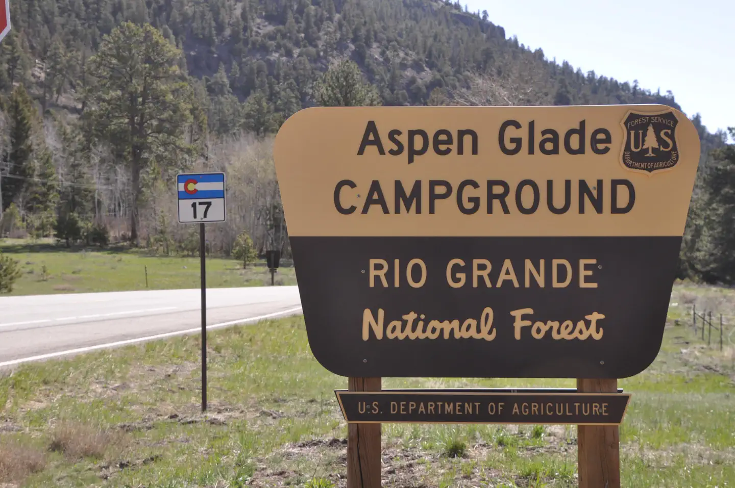
Aspen Glade (Rio Grande National Forest, CO)
Campground · Fee not listed
Fast facts
- Cost
- Not listed. Check locally.
- Type
- Campground
- Phone
- 435-245-6521
- Coordinates
- 37.0725, -106.2731
- Last verified
- September 19, 2026
About this place
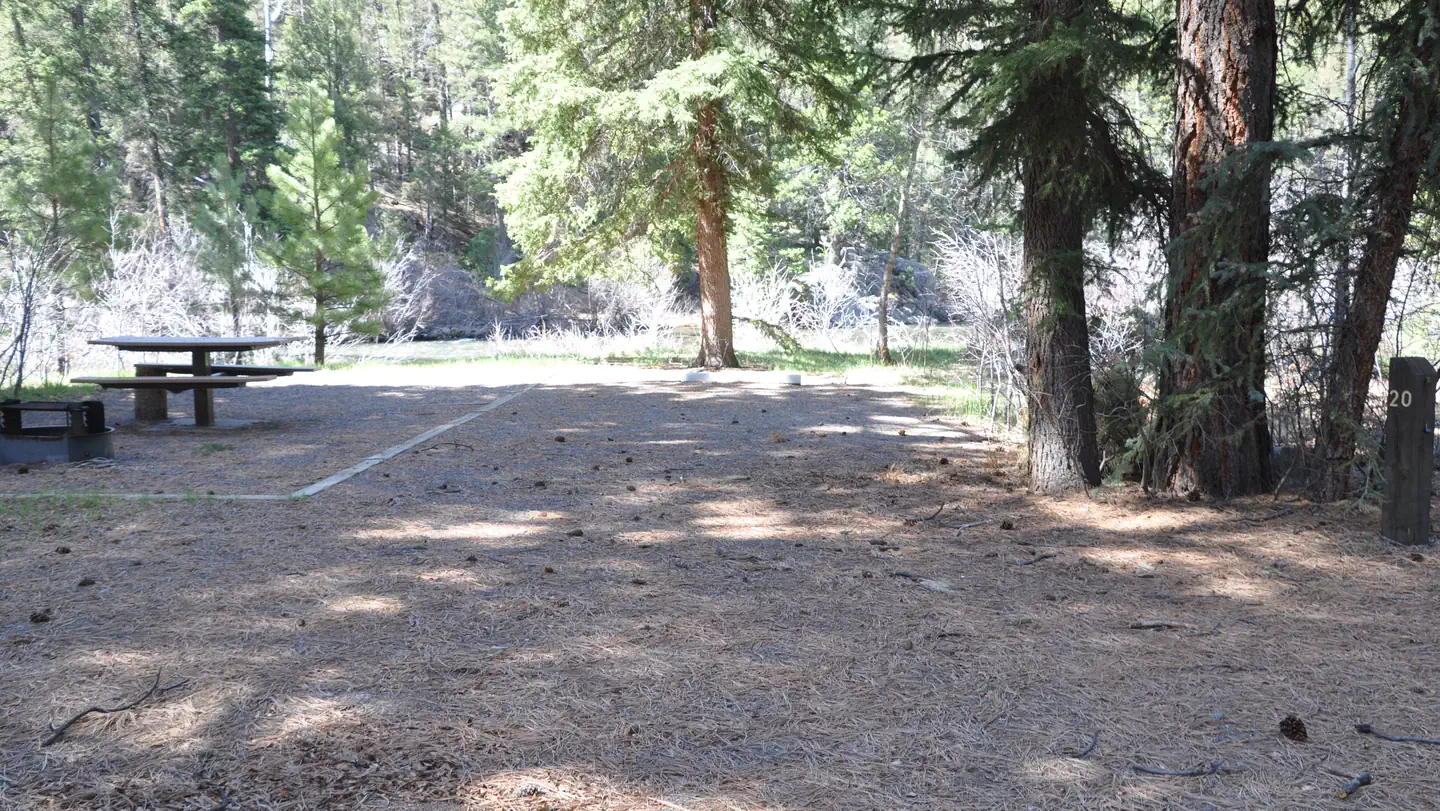
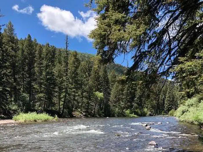
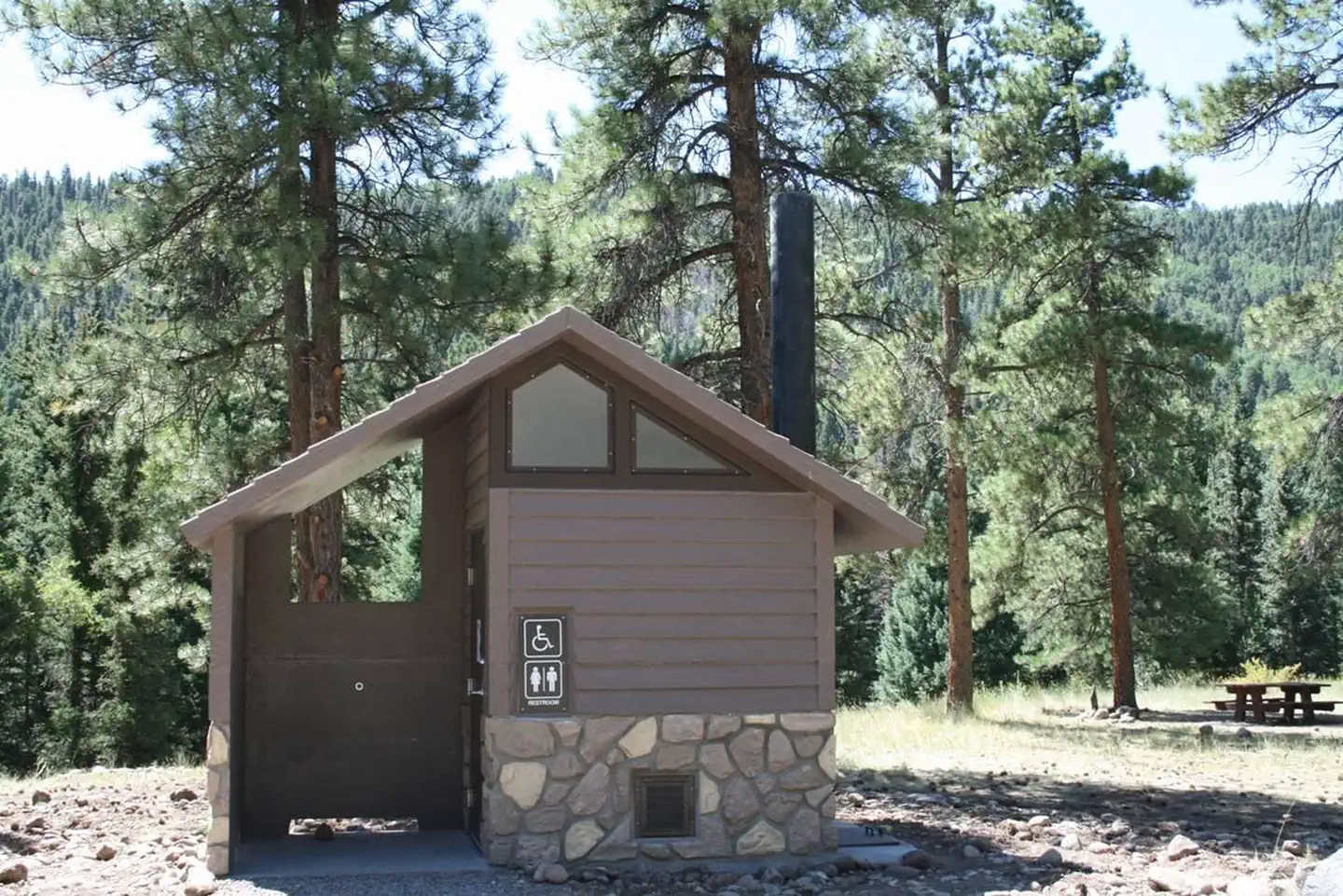
Overview Aspen Glade Campground sits on the Conejos River in southern Colorado, providing a premium setting for fly fishing and peaceful nature watching. Recreation Forest Road 250 provides an unforgettable scenic drive, where visitors are met with sweeping views of the Conejos Canyon and River. Just upstream of the campground is a section of "Gold Medal" trout fishing, offering top-tier fishing for large quality trout. Just 168 miles of the 9,000 miles of trout streams in Colorado are designated with this title. The nearby Sheep Creek Trail is also highly recommended for avid hikers. Facilities The 32 spacious, reservable campsites are considerably quiet, allowing for the sounds of birds overhead. Drinking water and vault toilets are provided. Natural Features Within the campground, Loop A and B are lightly wooded with Ponderosa pines. Loop C is heavily wooded with tall, mature spruce, aspen and fir trees. It lies along the fast-flowing Conejos River. The understory for all campsites is grass topped with pine needles. Aspen Glade sits near the border of New Mexico at 8,500 feet. It is situated between the Carson and Rio Grande National Forests. Wildlife in the region includes bear, deer, elk and a variety of birds. Nearby Attractions Visitors can ride a traditional steam engine at the Cumbres and Toltec Scenic Railroad on a 64-mile journey through abandoned mining towns. Contact Info For facility specific information, please call (805) 434-1996.
From the managing agency.
Is this site free?
We do not have a fee on record for this site. Confirm the cost locally before you go.
How do I get to this site?
this site is at 37.0725, -106.2731. We do not hold written directions for this one, so navigate to the coordinates.
Nearby
- Aspen Glade Campground0.1 mi
- MOGOTE2.2 mi
- Mogote Campground2.3 mi
- ELK CREEK CAMPGROUND (RIO GRANDE NF)6.4 mi
- Elk Creek Overflow Campground6.4 mi
- Elk Creek Campground6.4 mi
- Old Elk Creek6.5 mi
- Rio De Los Pinos Cg9.6 mi
No other services within 50 mi on the record.
SourceSource data is agency published. Last synced September 19, 2026. Community reports and photos are submitted by travelers and are not verified by the agency.
