
MOGOTE
Campground · Fee not listed
Fast facts
- Cost
- Not listed. Check locally.
- Type
- Campground
- Phone
- 719-376-2535
- Coordinates
- 37.0647, -106.2344
- Last verified
- September 19, 2026
About this place
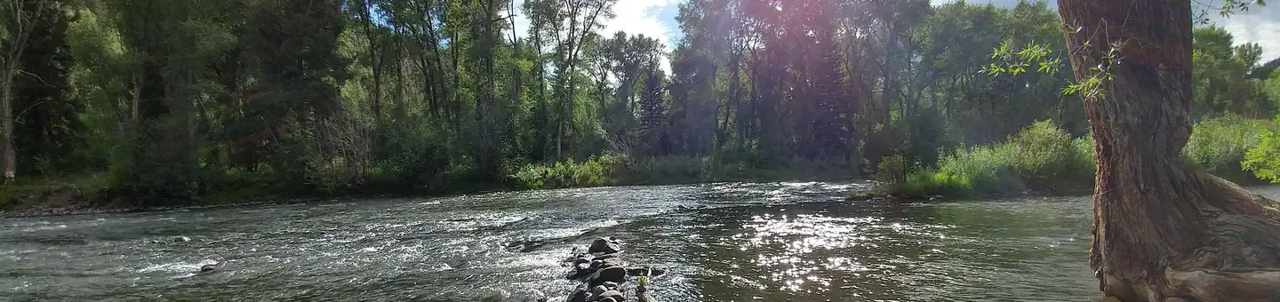
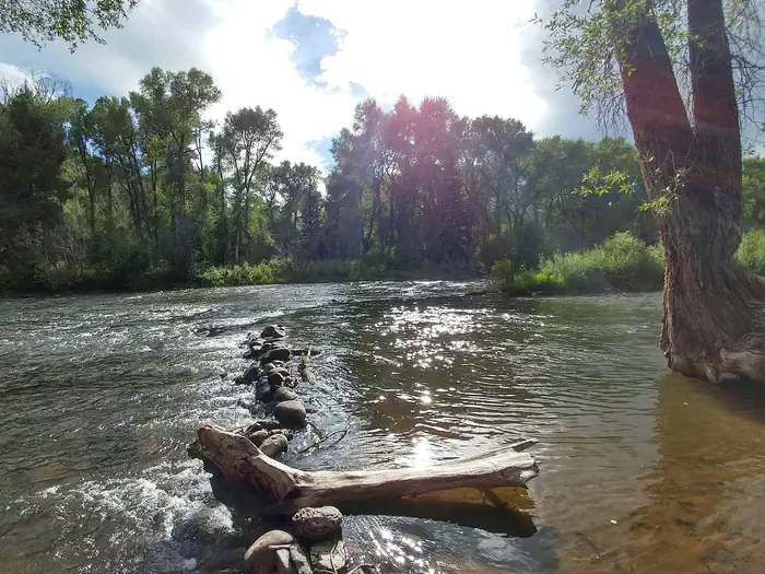
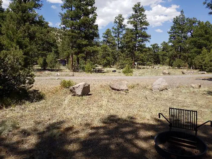
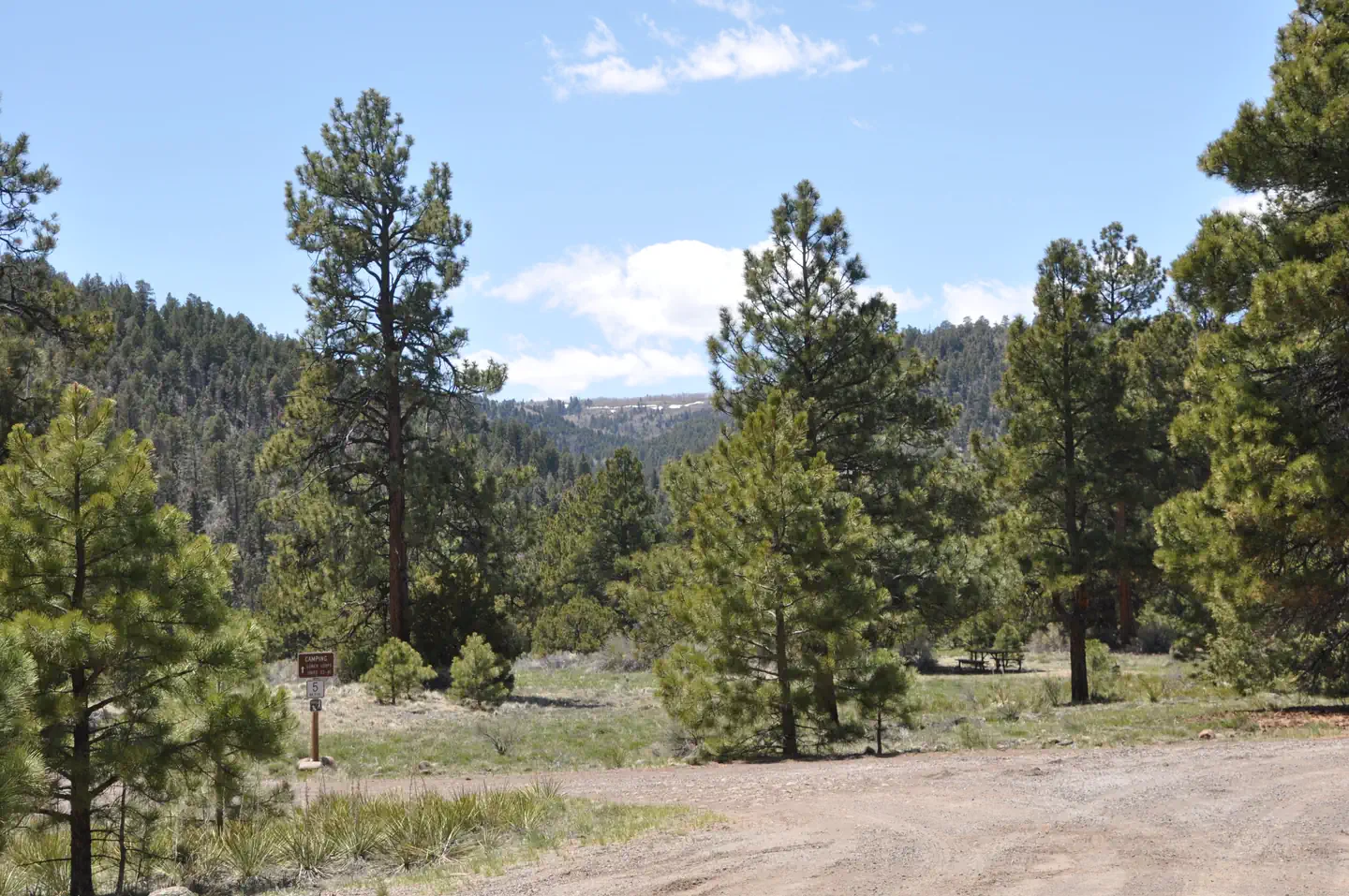
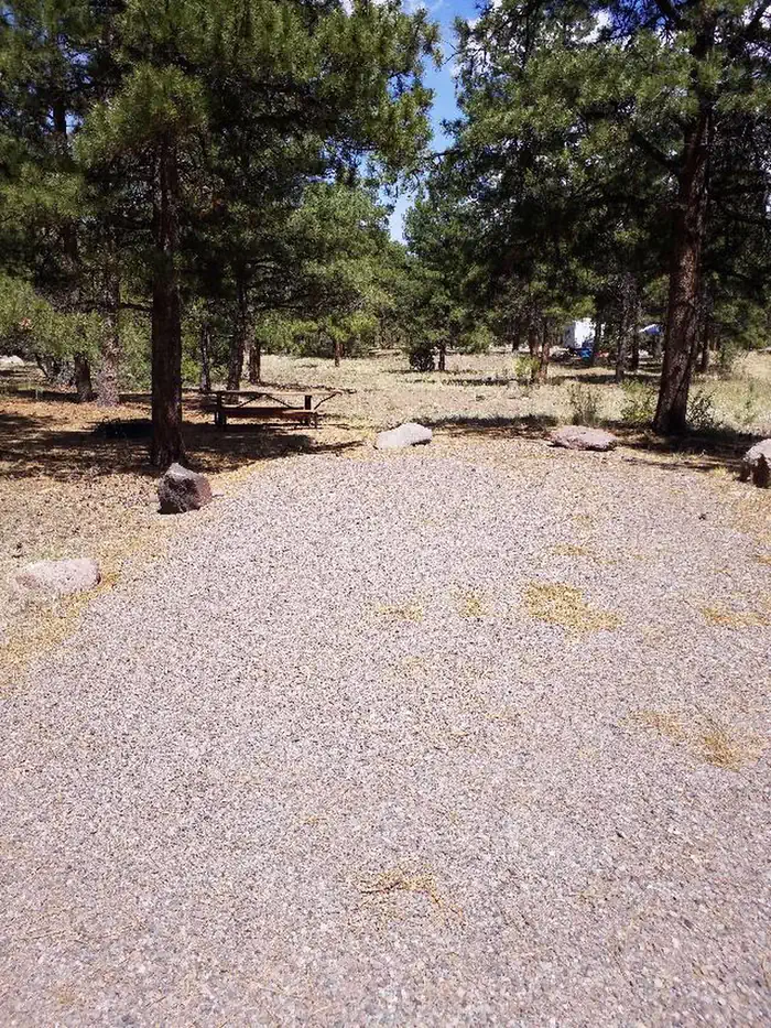
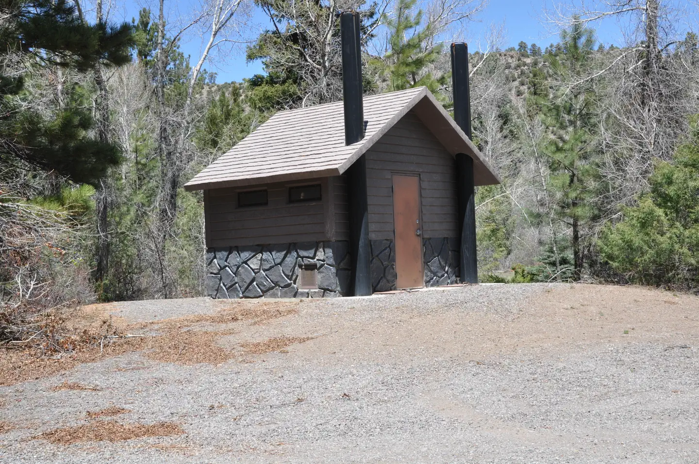
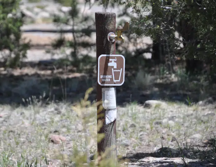
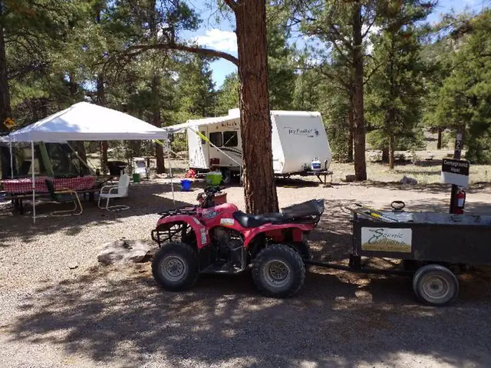
Overview Mogote Campground is located along the Conejos River, making it a perfect location for fishing and hiking. The pleasant campground is well shaded by groves of ponderosa pine and a mixture of cottonwood, spruce, willow and aspen. The campground is also in close proximity to the Cumbres & Toltec Scenic Railroad, home of America's highest and longest, coal fired, steam operated narrow-gauge railroad. Recreation The Conejos River is a Gold Medal River, offering a high potential for trophy trout fishing. Rainbow and brown trout are the most common species in the river. Popular hikes include the 15-mile Elk Creek Trail and the 10.9-mile South Fork Conejos Trail. Facilities Campsites are equipped with picnic tables and campfire rings with grills. Vault toilets, drinking water and trash bins are provided. An accessible toilet is located in the upper loop. No electric hookups are available. Firewood can be purchased on site. Natural Features The campground sits at an elevation of 8,400 feet, and is separated into an upper and lower loop. The lower loop sits along the fast-flowing Conejos River and many sites face the water. The campground is perched in a wooded section along the river valley. Rio Grande National Forest stretches across 1.86 million acres in south-central Colorado. The forest encompasses a myriad of ecosystems ranging from high elevation desert at 7,600 feet above sea level to rocky crags at over 14,300 feet in the majestic Sangre de Cristo Mountains. Contact Info For facility specific information, please call (805) 434-1996. Nearby Attractions The Cumbres & Toltec Scenic Railroad can be accessed from Antonito. The train makes a 640-mile journey through abandoned mining towns, creating great entertainment for young and old.
From the managing agency.
Is MOGOTE free?
We do not have a fee on record for MOGOTE. Confirm the cost locally before you go.
How do I get to MOGOTE?
MOGOTE is at 37.0647, -106.2344. We do not hold written directions for this one, so navigate to the coordinates.
Nearby
- Mogote Campground0.1 mi
- Aspen Glade (Rio Grande National Forest, CO)2.2 mi
- Aspen Glade Campground2.3 mi
- Rio De Los Pinos Cg8.1 mi
- Elk Creek Overflow Campground8.5 mi
- ELK CREEK CAMPGROUND (RIO GRANDE NF)8.5 mi
- Elk Creek Campground8.5 mi
- Old Elk Creek8.7 mi
No other services within 50 mi on the record.
SourceSource data is agency published. Last synced September 19, 2026. Community reports and photos are submitted by travelers and are not verified by the agency.
