
MOUNT PISGAH CAMPGROUND
Campground · Fee not listed
Fast facts
- Cost
- Not listed. Check locally.
- Type
- Campground
- Phone
- 828-648-2644 (MAY - OCTOBER)
- Nearest dump station
- Smokemont RV Sanitary Station · 32.7 mi
- Coordinates
- 35.4028, -82.7567
- Last verified
- September 19, 2026
About this place
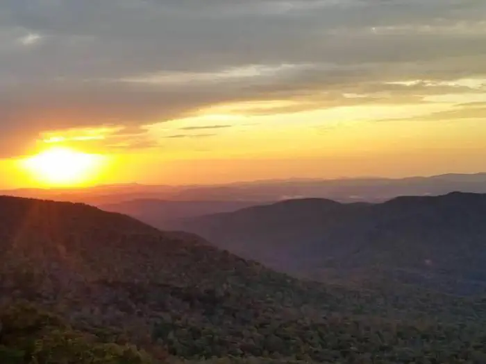
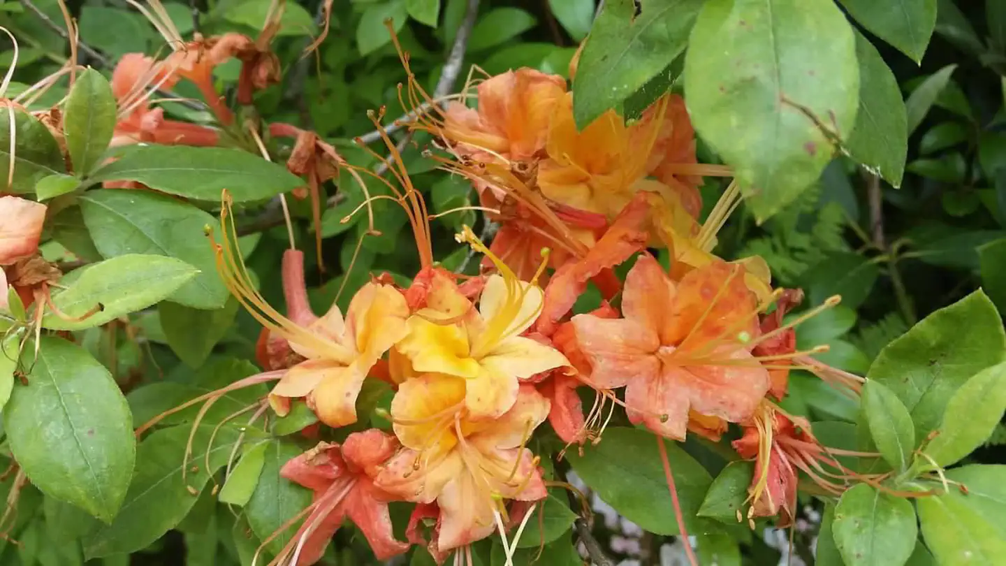
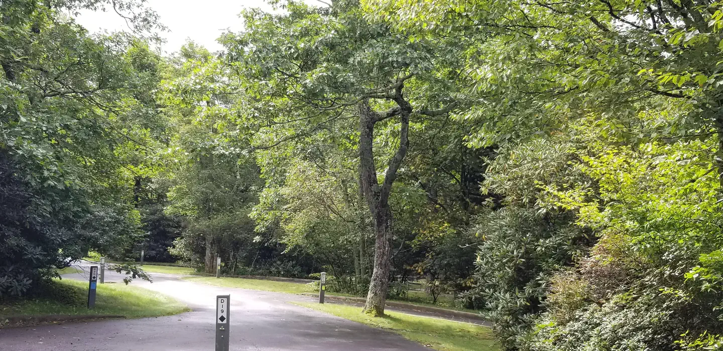
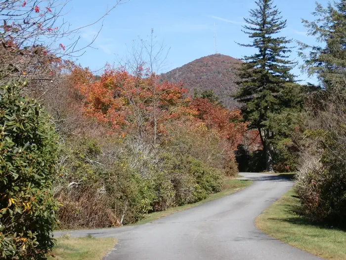
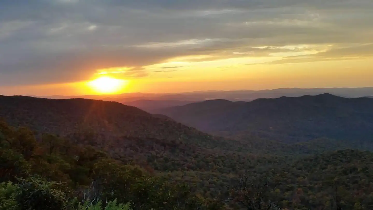
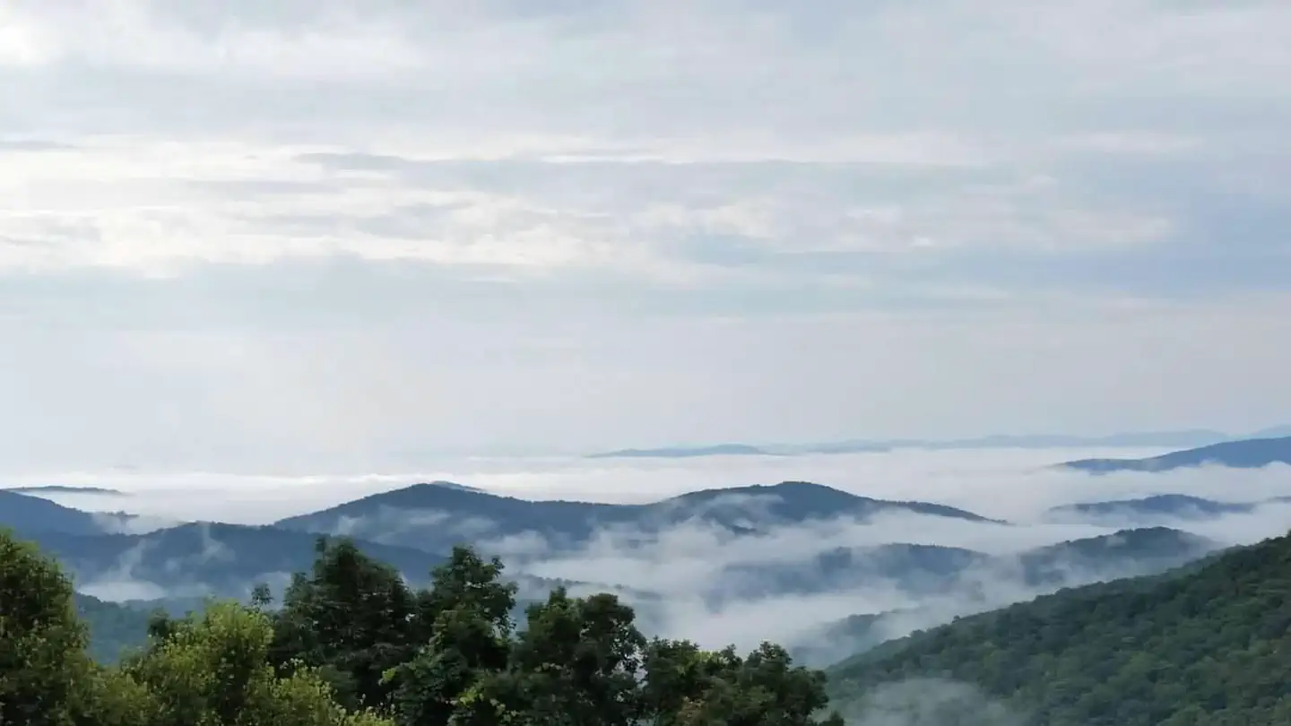
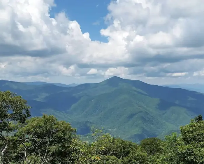
Overview One of the most popular of the Parkway's campgrounds, Mount Pisgah Campground is perched in the rolling mountains of western North Carolina on the southernmost end of the famous Blue Ridge Parkway. Surrounded by dense hardwood forests at an elevation of 4980 feet, it offers shady, cool respite from the summer heat. Whichever end of the day appeals, spectacular sunrise and sunset panoramic views can be enjoyed from nearby overlooks. Several popular hiking trails, ranging from moderate to strenuous, are accessible from the campground. Drenched in history, this area was once part of the holdings of George Vanderbilt and the site of his hunting camp house, Buck Springs (no longer standing), is close by. Recreation Several popular hiking trails, ranging from moderate to difficult, are easily accessible from the campground. The Frying Pan Trail leads adventurers 1.6 miles (2.6 km) south to the Fire Tower at Frying Pan Mountain. Hiking north on the trail you'll arrive at the Pisgah Inn and from there, the Buck Spring Trail leads visitors through the thick hardwood forest and along rocky terrain to the Mt. Pisgah Parking Area. From the parking area it is a 1.6 mile (2.6 km) uphill trek to the top of Mt. Pisgah. The Shut-In Trail is the original route from the Biltmore Estate to the Buck Spring Lodge, and heads north along the Blue Ridge Parkway toward Asheville. The Buck Spring Lodge was a mountain getaway for George Vanderbilt, owner of the famous Biltmore Estate. The North Carolina Mountains to Sea Trail follows both the Buck Spring and Shut-In Trails , and connects to trails in Pisgah National Forest. Facilities Both RV and tent sites are available at this campground. Modern amenities like flush toilets, drinking water, dump station, and a country store create a comfortable camping experience. Sites come with picnic tables and fire rings, perfect for barbecues and marshmallow roasting. In addition to the sites available for advance reservation, several campsites are available on a first-come, first-serve basis. The availability of first come, first served sites cannot be tracked through Recreation.gov. These sites must be booked in person at the campground kiosk. Mt. Pisgah campground is oftentimes full each weekend and holidays. Natural Features Mount Pisgah is part of the Appalachian Mountain Range, an area of the country with scenery that never disappoints, whether blanketed in wildflowers in the spring or bursting with red, orange, and yellow hues in the fall. The Blue Ridge Parkway is a scenic byway that follows the high crests of the central and southern Appalachians for 469 miles from Shenandoah National Park in Virginia to the Great Smoky Mountains National Park in North Carolina. At an elevation of 4,980 feet (1,518 m), Mount Pisgah offers moderate to cool temperatures during camping seasons. Nearby Attractions The beautiful Pisgah Inn is located adjacent to the campground and offers a restaurant and country store. Additionally, historic Asheville, North Carolina is about 20 miles away, offering grocery stores, fuel and medical facilities. The Blue Ridge Parkway is also surrounded by 2 other national parks. Shenandoah National Park is to the immediate north of the Blue Ridge Parkway. Great Smoky Mountains National Park is south of the Blue Ridge Parkway. Mt. Pisgah Campground is closer to Great Smoky Mountains National Park.
From the managing agency.
Is MOUNT PISGAH CAMPGROUND free?
We do not have a fee on record for MOUNT PISGAH CAMPGROUND. Confirm the cost locally before you go.
How do I get to MOUNT PISGAH CAMPGROUND?
MOUNT PISGAH CAMPGROUND is at 35.4028, -82.7567. We do not hold written directions for this one, so navigate to the coordinates.
Nearby
SourceSource data is agency published. Last synced September 19, 2026. Community reports and photos are submitted by travelers and are not verified by the agency.
