
Mount Pisgah
Campground · Fee
Fast facts
- Cost
- $30.00
- Type
- Campground
- Season
- October 26 to May 21
- Sites
- 125 total · 53 reservable · 72 first come
- Reservations
- recreation.gov
- Nearest dump station
- Smokemont RV Sanitary Station · 32.7 mi
- Coordinates
- 35.4029, -82.7569
- Last verified
- September 18, 2026

About this place
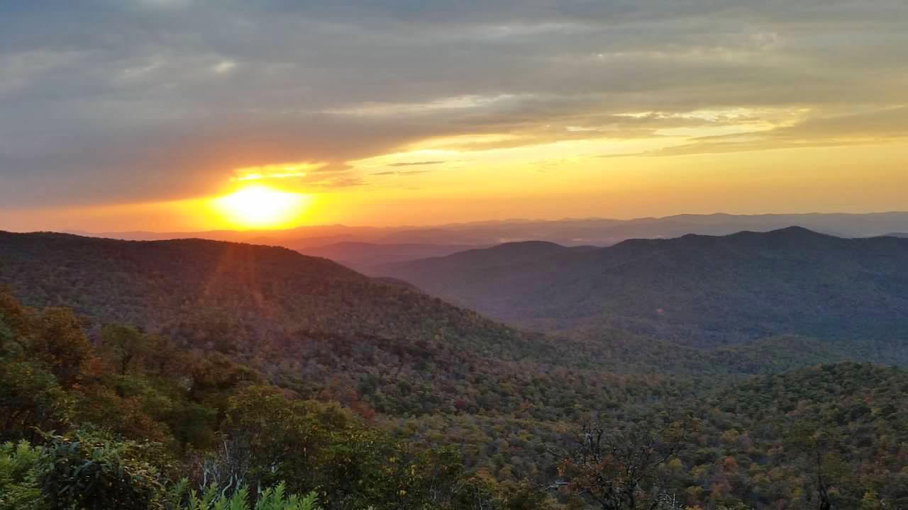
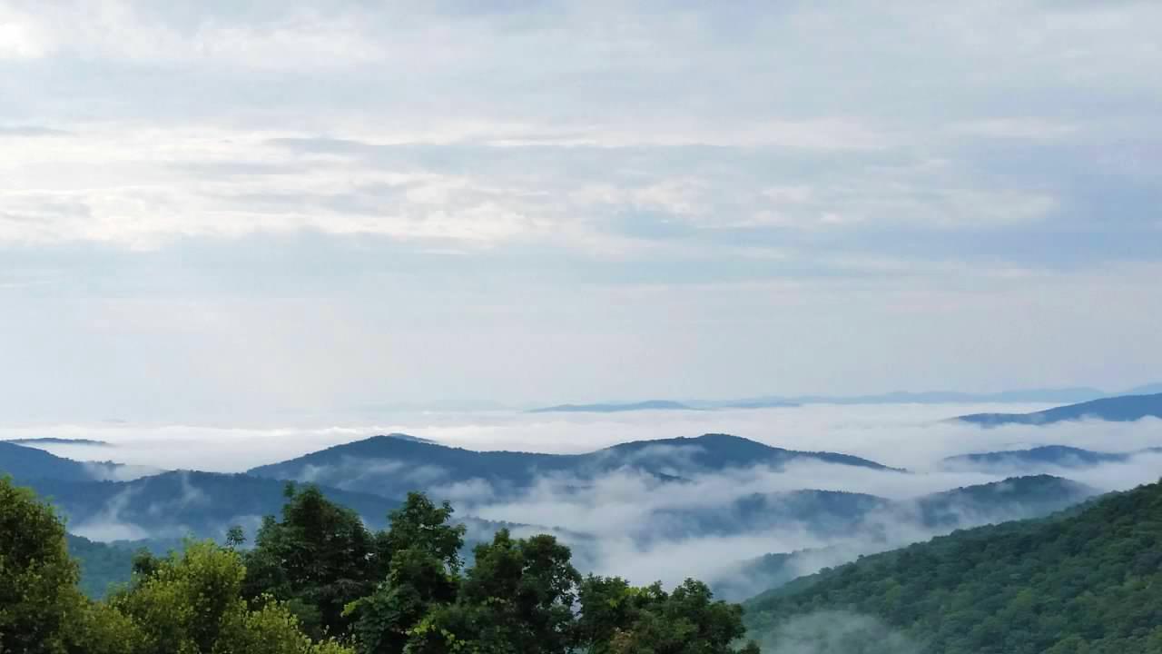
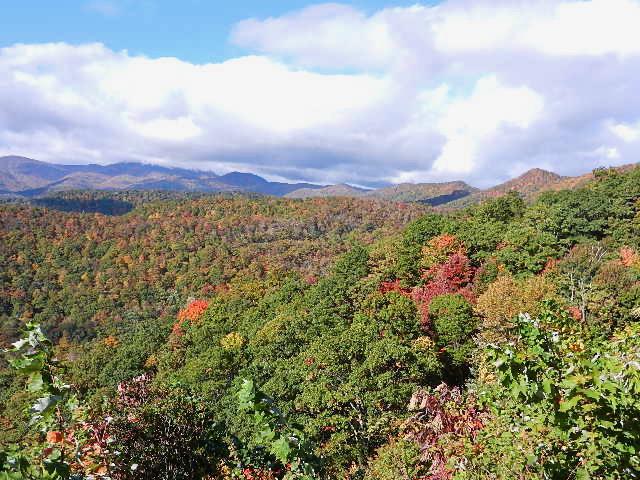
Mount Pisgah Campground is located in the mountains of western North Carolina at an elevation of 4,980 feet, and offers moderate to cool temperatures during camping seasons. Mount Pisgah is part of the Appalachian Mountain Range, an area of the country with scenery that never disappoints. Several popular hiking trails, ranging from moderate to difficult, are easily accessible from the campground.
From the managing agency.Official page
Is Mount Pisgah free?
No. Mount Pisgah charges $30.00. 53 of its sites are reservable through recreation.gov.
Can I bring an RV to Mount Pisgah?
Mount Pisgah has 125 sites on record. 53 sites are reservable and 72 are first come.
When is Mount Pisgah open?
The season on record runs October 26 to May 21. Dates move with weather and with the managing office, so check before a shoulder-season trip.
How do I get to Mount Pisgah?
GPS Info. (Latitude, Longitude): 35.40278, -82.75667 35°24'10"N, 82°45'24"W Campground is located at Parkway Milepost 408.8 in North Carolina.
What is the weather like at Mount Pisgah?
The parkway varies in elevation from under 650 feet at Virginia's James River to over 6,000 feet near Mount Pisgah in North Carolina. Weather can vary tremendously. Higher elevations can be cloudy and foggy while lower elevations are clear. Temperatures along the parkway are often cooler than in surrounding foothills. Carry a jacket or blanket and emergency supplies in the car. Be aware of changing weather conditions and approaching weather systems, as summer heat can bring afternoon thunderstorms.
Nearby
SourceSource data is agency published. Last synced September 18, 2026. Community reports and photos are submitted by travelers and are not verified by the agency.
