
CURTIS CREEK CAMPGROUND (NC)
Campground · Dispersed · Fee not listed
Fast facts
- Cost
- Not listed. Check locally.
- Type
- Campground
- Phone
- 828-652-2144
- Nearest dump station
- Cosby RV Sanitary Station · 57.0 mi
- Coordinates
- 35.6761, -82.1992
- Last verified
- September 19, 2026
About this place
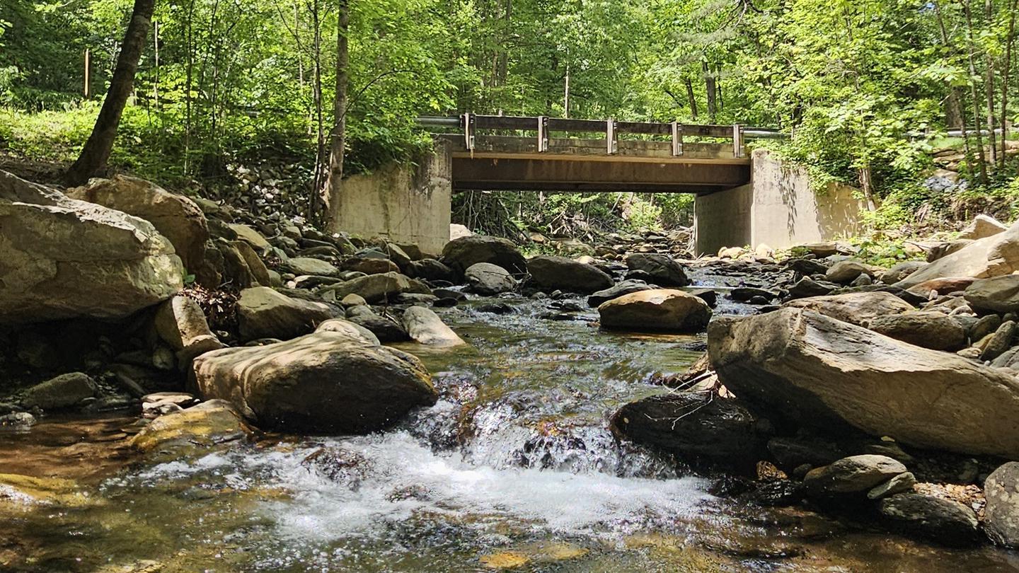
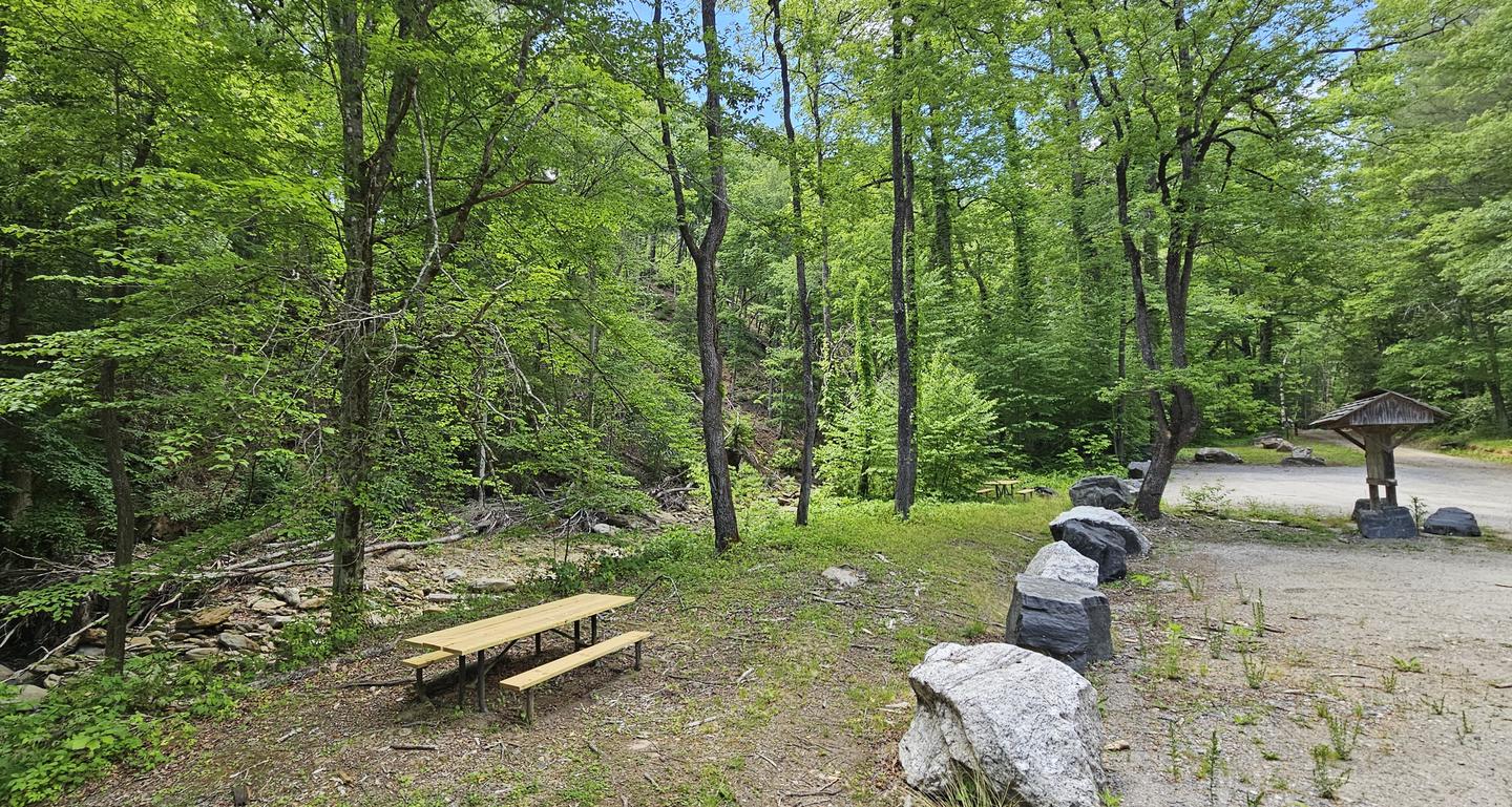
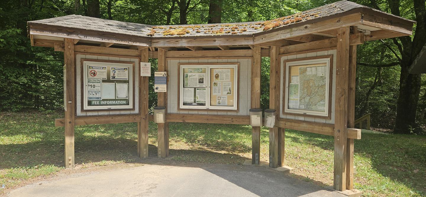
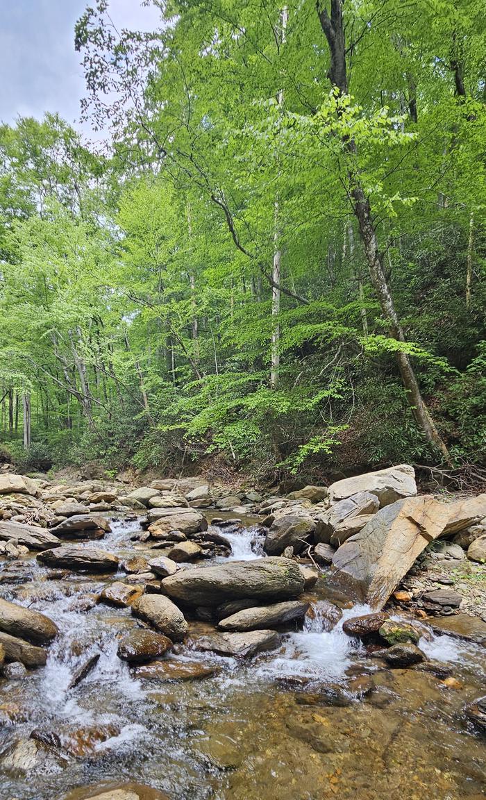
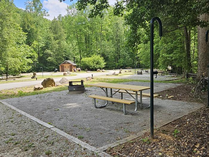
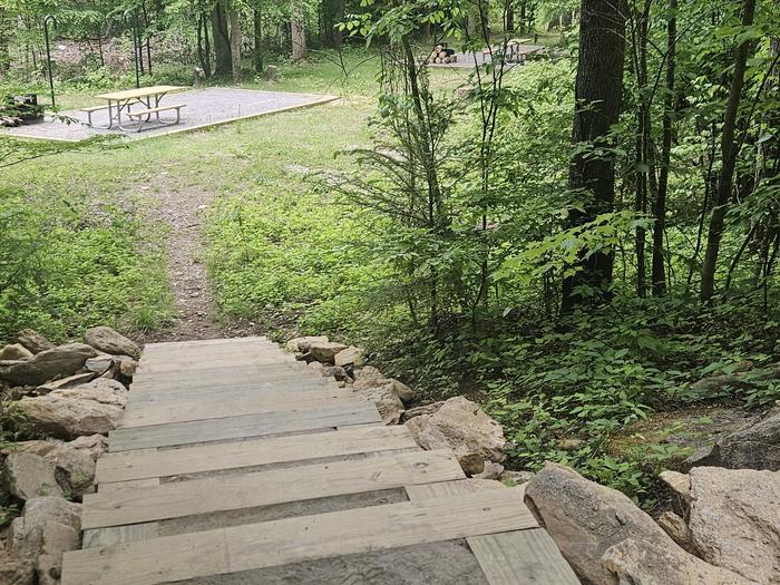
Overview Curtis Creek Campground is nestled in the mountains at the base of the Blue Ridge just minutes from the quaint town of Old Fort and less than an hour from the popular city of Asheville. Located in the first tract of National Forest land in the eastern US at the site of an old Civilian Conservation Corp (CCC) camp, the campground is surrounded by old growth forests and roaring trout streams. The gravel road through the campground ascends to the Blue Ridge Parkway, providing easy access to the Mount Mitchell area. Recreation Visitors to the campground can enjoy a variety of activities including fishing, swimming, day hiking, picnicking, and scenic driving. Curtis Creek is well known for its excellent trout fishing. Swimming holes along the creek provide wading opportunities on hot summer days. History buffs will enjoy exploring the remains of the old CCC buildings surrounding the campground. Two Forest Service trails depart from the campground. The Hickory Branch trail provides a short (approximately 1/2 mile) hike to a series of waterfalls, and longer hikes to access the backcountry area around Mackey Mountain. Mackey Mountain and the valley of Mackey Creek contain the largest unbroken tract of old-growth forest in the Pisgah National Forest. The Snooks Nose trail provides a strenuous hike to a ridge with beautiful views, eventually ending at the Blue Ridge Parkway. Many other Forest Service trails are within a short drive of the campground, including Catawba Falls and Point Lookout trail. Facilities The campground provides a variety of campsites. There are three loops with 24 sites. One loop is fully accessible, barrier free and can accommodate RVs up to 35ft. A second loop features dispersed tent-only roadside sites that provide a secluded forest experience. A third loop features tent-only sites in an open grassy area. All sites include a tent pad, picnic table, lantern post, and fire ring. Vault toilets, drinking water pumps, and bear-proof trash and recycling receptacles are provided. A campground host is on site to provide visitor assistance. Natural Features Located in rich mountain hardwood forests at an elevation of 2,000 feet, Curtis Creek Campground provides a secluded streamside setting. Curtis Creek, a popular trout stream surrounded by lush rhododendron and hemlock, runs along the east side of the campground. Old-growth forests cover the mountain peaks on either side of the valley. The Curtis Creek area provides beautiful scenery year-round, from stunning fall foliage displays to abundant spring and summer wildflowers. Nearby Attractions Curtis Creek Campground is six miles from the town of Old Fort, which has a variety of restaurants, gas stations, grocery stores, and medical facilities. Popular attractions in Old Fort include the Mountain Gateway Museum, the Old Train Depot, Davidson Fort, Catawba Falls, and Andrews Geyser. The campground is seven miles from the scenic Blue Ridge Parkway, close to Mount Mitchell State Park. Visitors can make trips to nearby Black Mountain (15 miles) and Asheville (30 miles) to visit art galleries, shops, and restaurants.
From the managing agency.
Is CURTIS CREEK CAMPGROUND (NC) free?
We do not have a fee on record for CURTIS CREEK CAMPGROUND (NC). Confirm the cost locally before you go.
How do I get to CURTIS CREEK CAMPGROUND (NC)?
CURTIS CREEK CAMPGROUND (NC) is at 35.6761, -82.1992. We do not hold written directions for this one, so navigate to the coordinates.
Nearby
SourceSource data is agency published. Last synced September 19, 2026. Community reports and photos are submitted by travelers and are not verified by the agency.
