
CHERRY HILL CAMPGROUND
USFS · Campground · Fee
Fast facts
- Cost
- Fee charged
- Managed by
- USFS
- Type
- Campground
- Hours
- Check in: 4:00 p.m.; Check-out: 2:00 p.m.; Quiet hours are 10:00 p.m. until 6:00 a.m.
- Reservations
- recreation.gov
- Phone
- 864-638-9568
- Nearest dump station
- Deep Creek RV Sanitary Station · 40.8 mi
- Coordinates
- 34.9417, -83.0875
- Last verified
- September 19, 2026
About this place
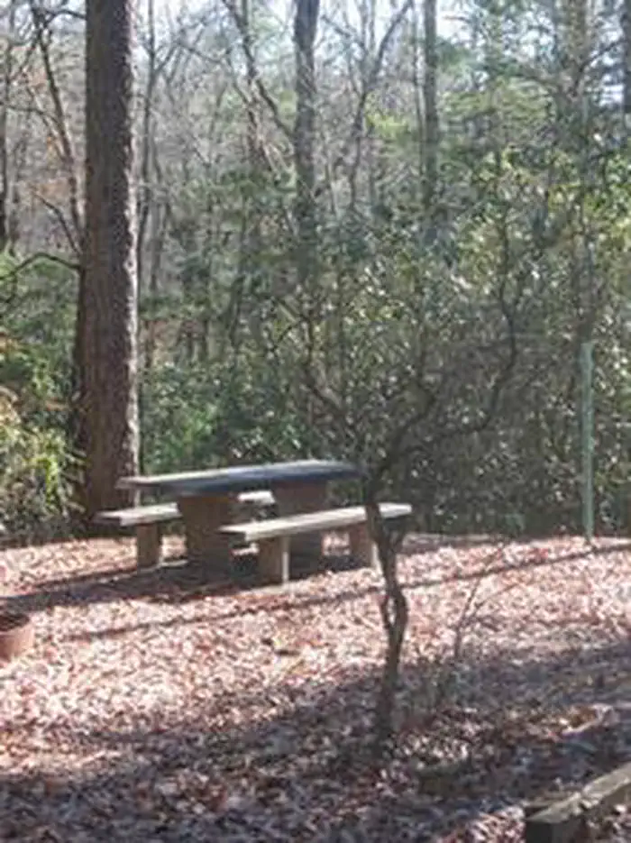
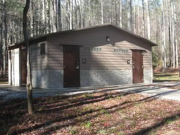
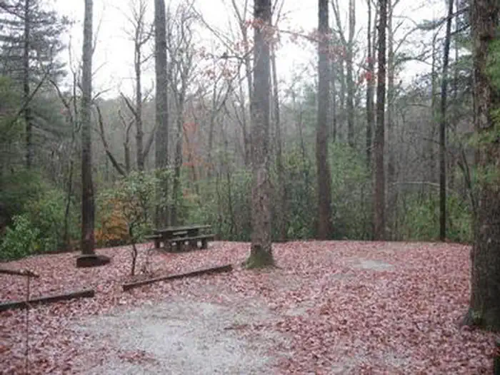
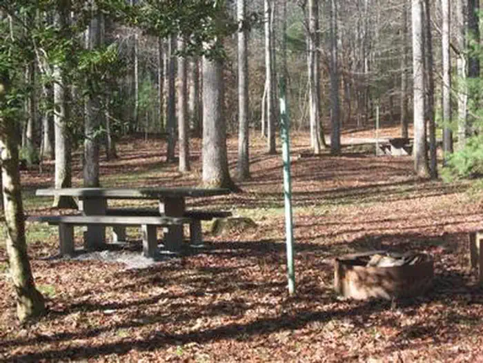
Overview Open April 1 - October 31. Cherry Hill is near the Chattooga Wild and Scenic River and many miles of hiking trails. Site amenities include centrally-located drinking water, cooking grills, tables and lantern posts as well as a restroom with flush toilets and hot showers. When you make a reservation, post one of the following on the clip provided at your site: a) Your confirmation letter; b) Your reservation number; c) The name of the person that the site is reserved for.
From the USFS.Official page
Is CHERRY HILL CAMPGROUND free?
No. CHERRY HILL CAMPGROUND charges a fee. It is managed by the USFS. Sites are reservable through recreation.gov.
How do I get to CHERRY HILL CAMPGROUND?
From Walhalla, drive north on Highway 28 for seven miles. Turn right on Highway 107. Drive north on Highway 107 for nine miles. Cherry Hill is on the right.
Nearby
SourceData from the USFS. Last synced September 19, 2026. Community reports and photos are submitted by travelers and are not verified by the agency.
