
West Fork Campground (Clayton, GA)
Campground · Fee
Fast facts
- Cost
- Fee charged
- Type
- Campground
- Nearest dump station
- Deep Creek RV Sanitary Station · 37.7 mi
- Coordinates
- 34.9482, -83.2038
- Last verified
- September 19, 2026
About this place
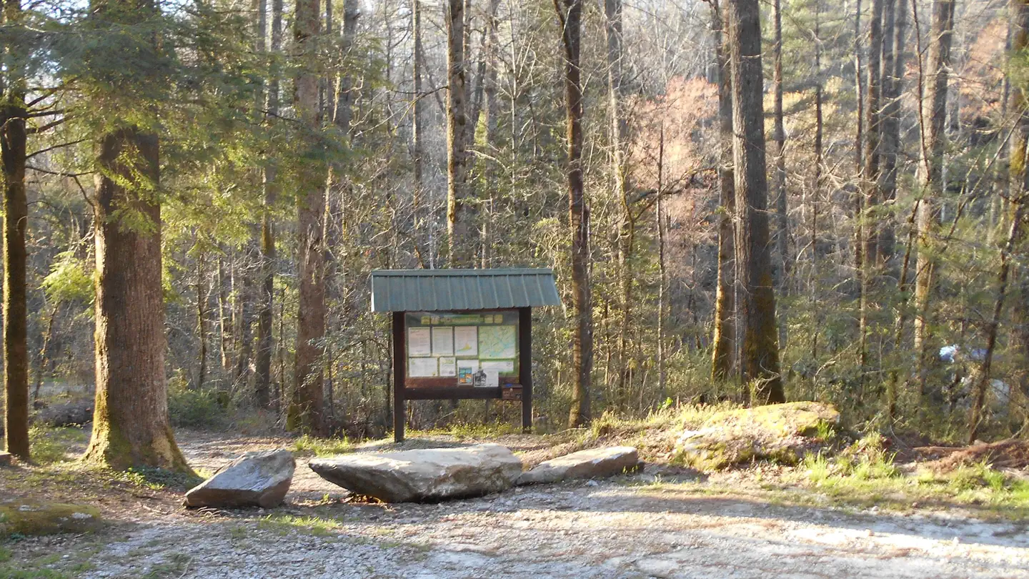
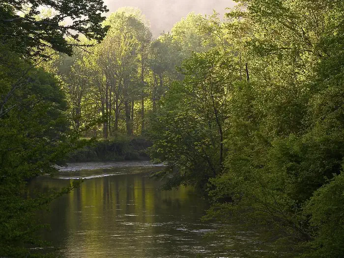
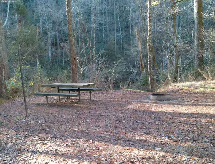
Overview All Campsites at West Fork Campground are reservation only, you must reserve through recreation.gov or by calling 877-444-6777 Visitors to this 5-site campground marvel over the picturesque bird's eye view of the world renowned Chattooga Wild and Scenic River. Situated along the west fork of the river, this area offers isolation and adventure all in one. Visitors often comment they feel as though they've been swept back in time and are looking out onto the great frontier of the past when enjoying the area's treasure scenic views. Come explore and enjoy such adventures as camping, fishing, hiking, and canoeing! Recreation Enjoy your day on the west fork of the Chattooga Wild and Scenic River. Many opportunities are to be found around this beauiful longest free flowing river in the Southern States. Fishing is one of the favorites, you can spend your day on kayak or canoe, take a hike, or if you are not sure about going on the river without additional knowledge and skills you might even want to join one of the outfitter and guides companies that are permitted with the Forest Service to operate on the river. For more information on the companies approved on the river pleae Click here Facilities There are picnic tables, fire rings, and lantern posts at each site. A toilet facility and bear resistant trash bins are available in the parking lot. These are walk-in only sites. You must park your vehicle in the main parking lot and walk to your campsite. Natural Features West Fork Campground is located in the Chattahoochee-Oconee National Forest, a place of exploration and wonder. This National Forest is rich in history and is said to be a hiker's paradise with its winding trails, scenic mountains, and rolling hills. Nearby Attractions Along with the beautiful Wild and Scenic River at the back door the area has many hiking trails nearby. Bartram trail, Chattooga River trail, 3-Forks Trail, and Holcomb Creek trail are all in the area, along with a host of waterfalls, and views abound. The state managed Warwoman Wildlife Management Area is just a few miles to the west and to the northwest of this campground is Rabun Bald the second highest peak in the State of Georgia at 4696' above sea level. Contact Info This location is unstaffed. To speak with our main office for general information, please call: (706) 754-6221. Charges & Cancellations
From the managing agency.
Is this site free?
No. this site charges a fee.
How do I get to this site?
this site is at 34.9482, -83.2038. We do not hold written directions for this one, so navigate to the coordinates.
Nearby
SourceSource data is agency published. Last synced September 19, 2026. Community reports and photos are submitted by travelers and are not verified by the agency.
