
ROMBO
Campground · Fee not listed
Fast facts
- Cost
- Not listed. Check locally.
- Type
- Campground
- Phone
- 406-821-3269
- Nearest dump station
- Newland Ranch Dump Station · 27.7 mi
- Coordinates
- 45.7650, -114.2806
- Last verified
- September 19, 2026

About this place
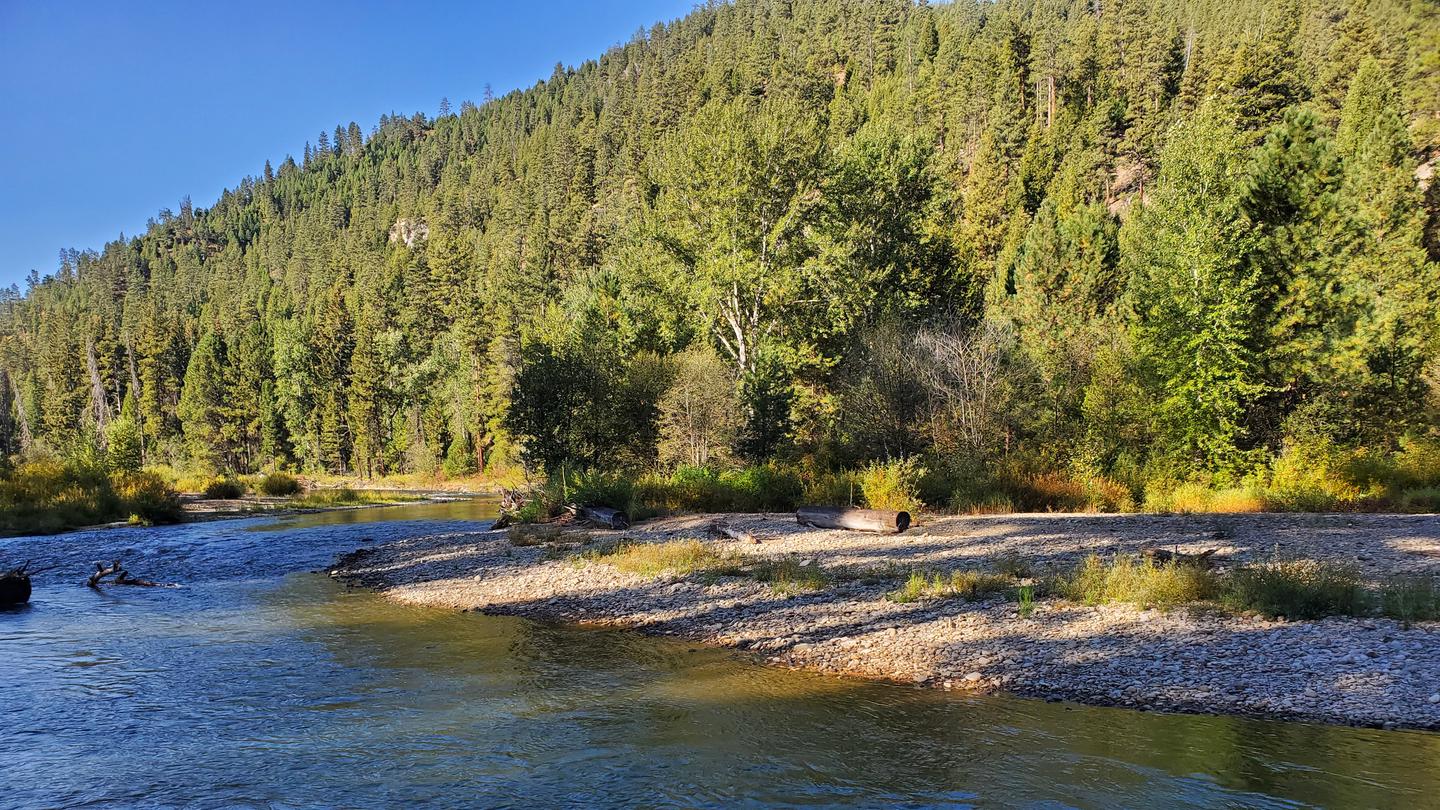
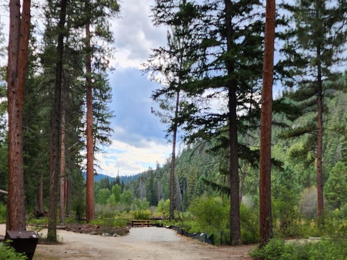
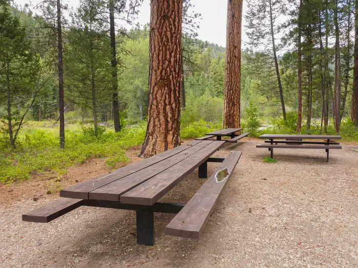
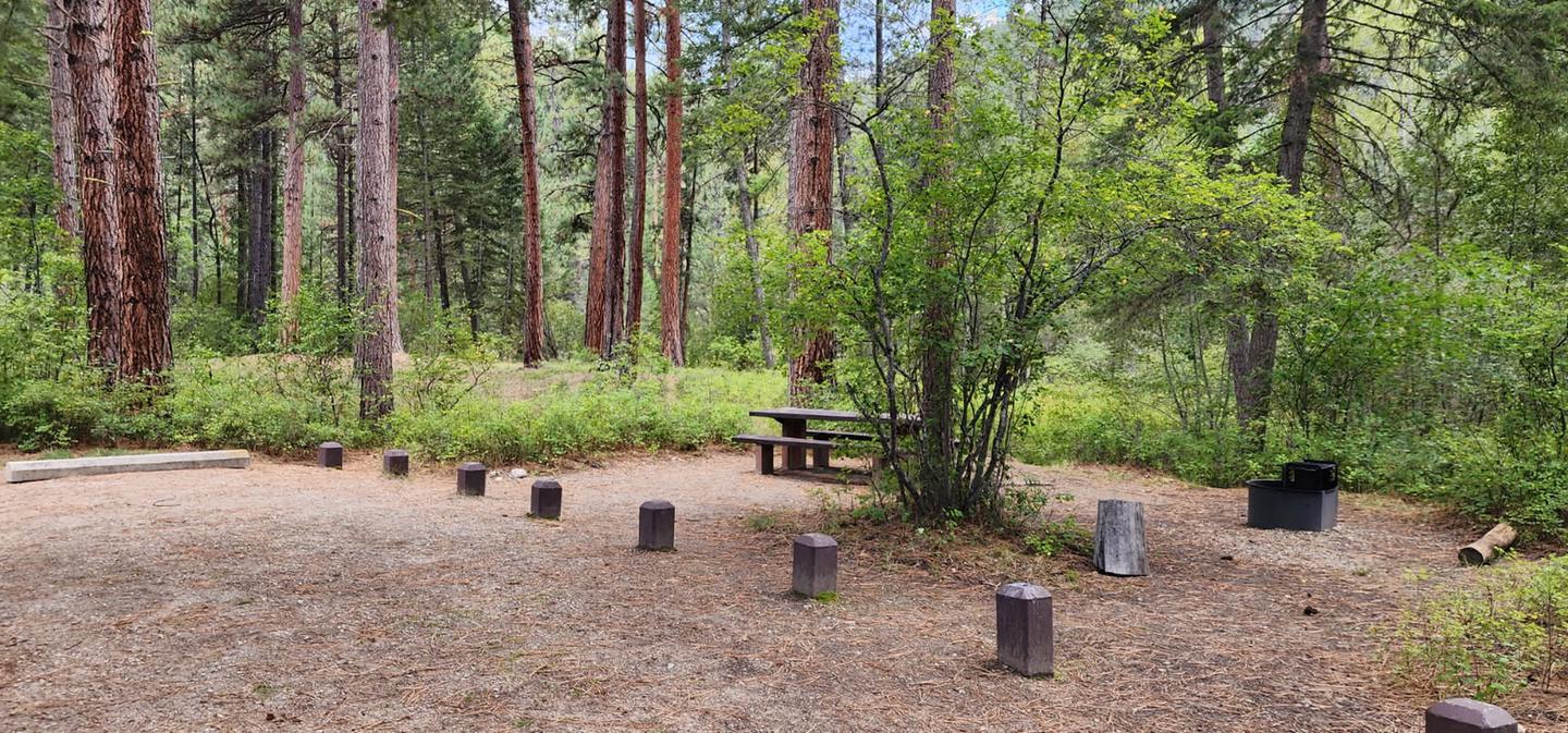
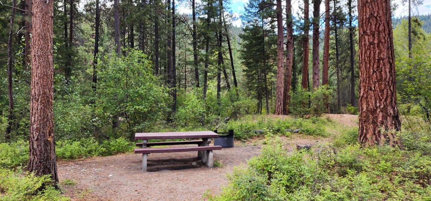
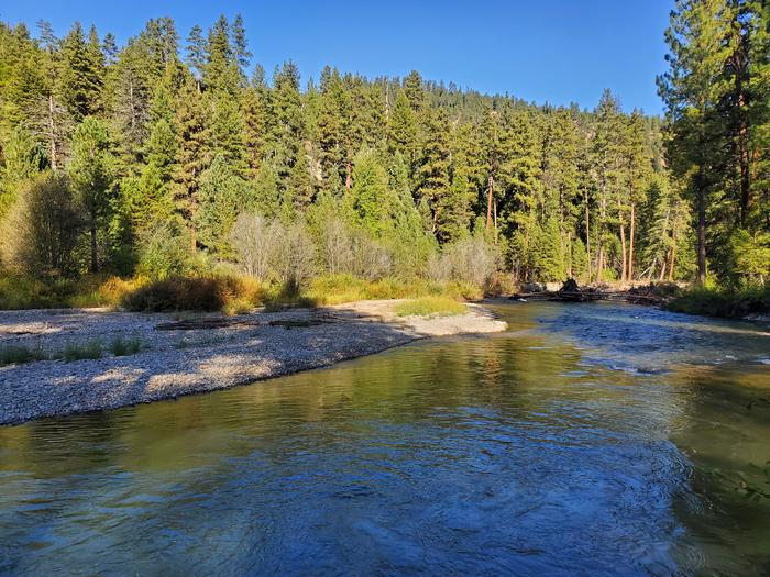
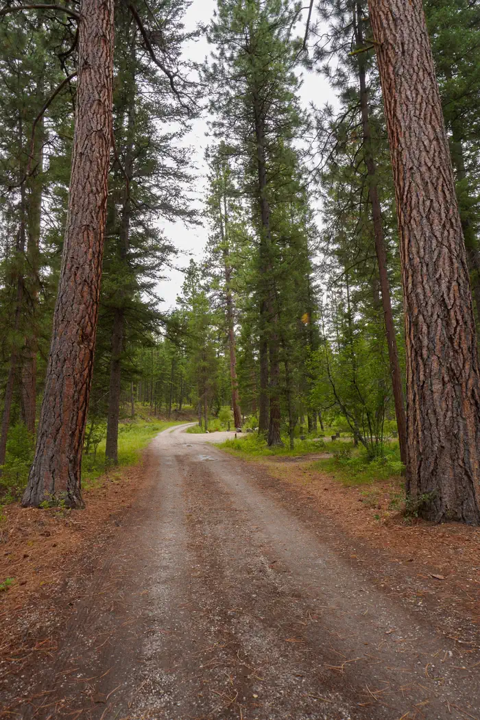
Overview Rombo Campground is located in a scenic area along the West Fork Bitterroot River in the mountains of southwestern Montana. The area is home to a variety of big game and wildlife, and provides access to a number of outdoor activities, including fishing, seasonal rafting and various hiking trail opportunities. Recreation Fly fishing and wading in the West Fork Bitterroot River are popular activities. During high water season, kayaking and rafting are available as well. Painted Rocks Lake is just five miles south of the campground. Visitors enjoy swimming, kayaking, boating and fishing. Anglers will find mountain whitefish and a variety of trout. Many trails and unimproved roads in the area are great for exploring by bike or off-road vehicle. Hiking trails to various mountain peaks are nearby. Facilities The campground offers 16 sites, four of which are accessible, for tent and RV camping. Individual sites can accommodate up to 10 people and two vehicles. One bear proof container is provided for tent campers on bicycles or ATVs to comply with the Food Storage Order. Bear proof garbage dumpsters are available throughout the campground. Picnic tables, campfire rings and grills are provided, as are accessible pit toilets and drinking water. A campground host is on-site. Utility hookups are not available. Parking surfaces are gravel. A fill site for potable water is located just beyond Site #16 Natural Features The campground is located along the West Fork of the Bitterroot River. Large yellow-barked ponderosa pine trees tower above many of the campsites, which along with fir, aspen and cottonwoods, provide pleasant shade. The campground is situated at an elevation of 4,500 feet. A variety of wildlife makes its home in the area, including bald eagles, piliated woodpeckers, mule and white-tailed deer, moose, elk, bighorn sheep, black bears and numerous songbirds. Nearby Attractions The Alta Ranger Station, located on Hughes Creek Road, was the first Forest Service Ranger Station in the United States, built in 1899. It remains a popular tourist location and is a short distance from the campground. Horse Creek Hot Springs is about 29 miles from the campground and can be accessed via a gravel road with a high-clearance vehicle. A post office and a general store and deli can be found in Conner, 16 miles from the campground. Darby is 24 miles from the campground. It is a full-service community with fuel, lodging, a grocery store, restaurants, and other local businesses. Charges & Cancellations A $10.00 service fee will apply if you change or cancel your reservation. Late cancellations are subject to additional fees. For full details see NRRS Reservation Policy.
From the managing agency.
Is ROMBO free?
We do not have a fee on record for ROMBO. Confirm the cost locally before you go.
How do I get to ROMBO?
ROMBO is at 45.7650, -114.2806. We do not hold written directions for this one, so navigate to the coordinates.
Nearby
SourceSource data is agency published. Last synced September 19, 2026. Community reports and photos are submitted by travelers and are not verified by the agency.
