
FALES FLAT CAMPGROUND
Campground · Fee not listed
Fast facts
- Cost
- Not listed. Check locally.
- Type
- Campground
- Phone
- 406-821-3269
- Nearest dump station
- Newland Ranch Dump Station · 31.2 mi
- Coordinates
- 45.7461, -114.4433
- Last verified
- September 19, 2026
About this place
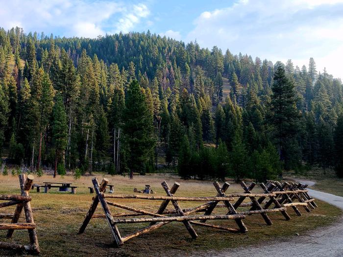
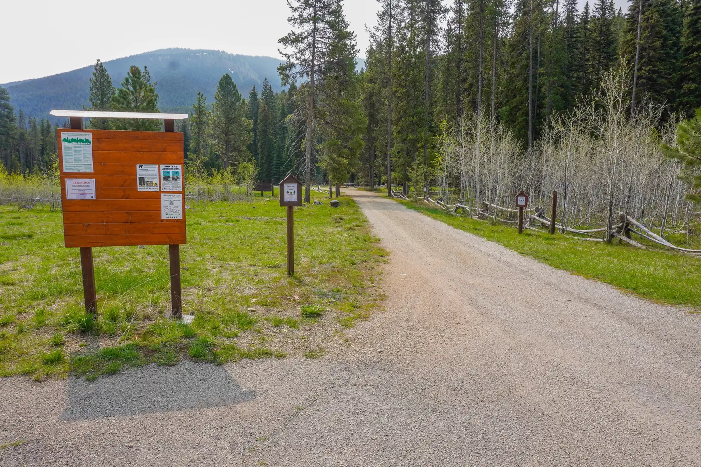
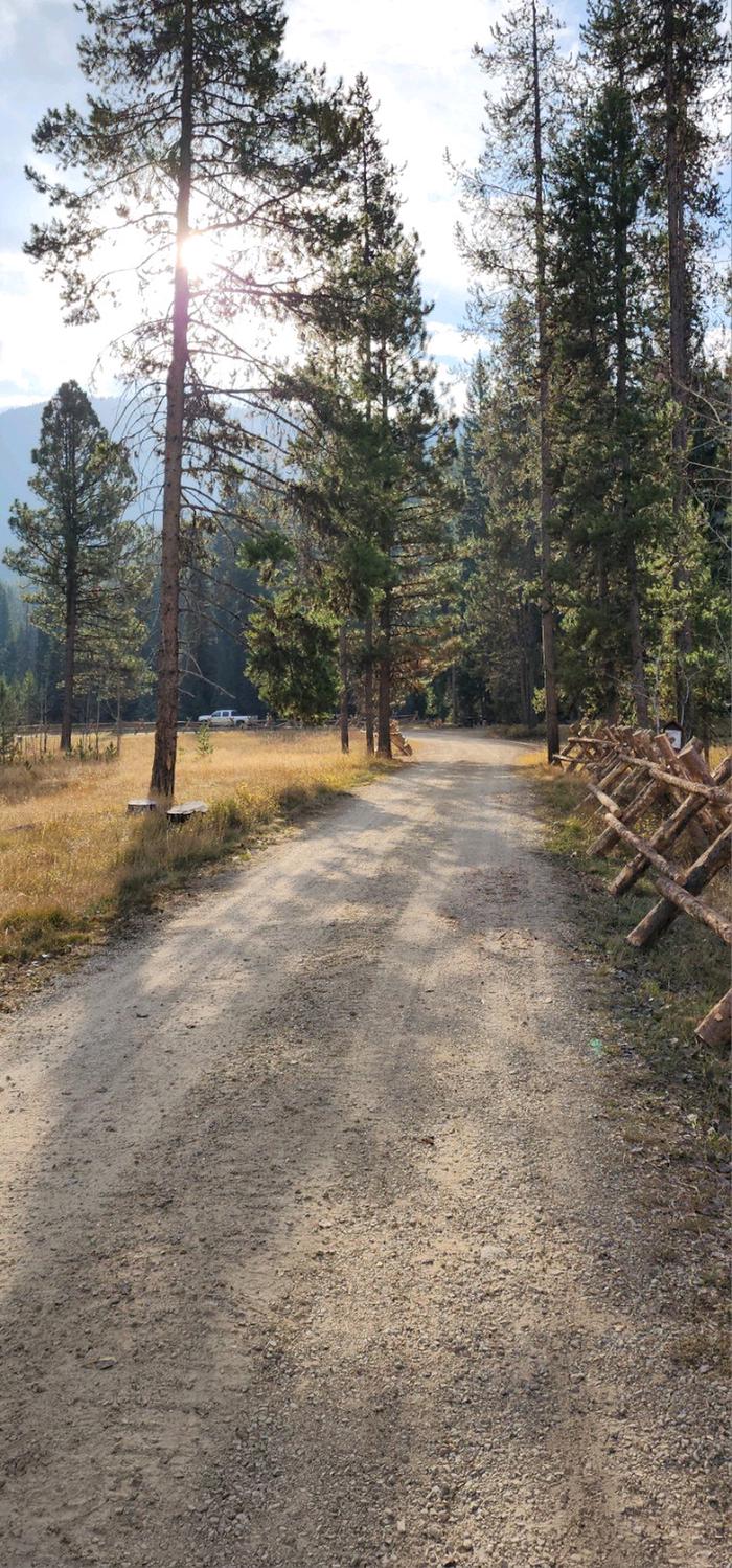
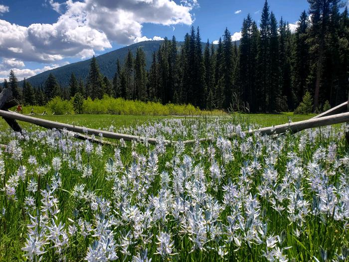
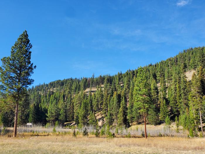
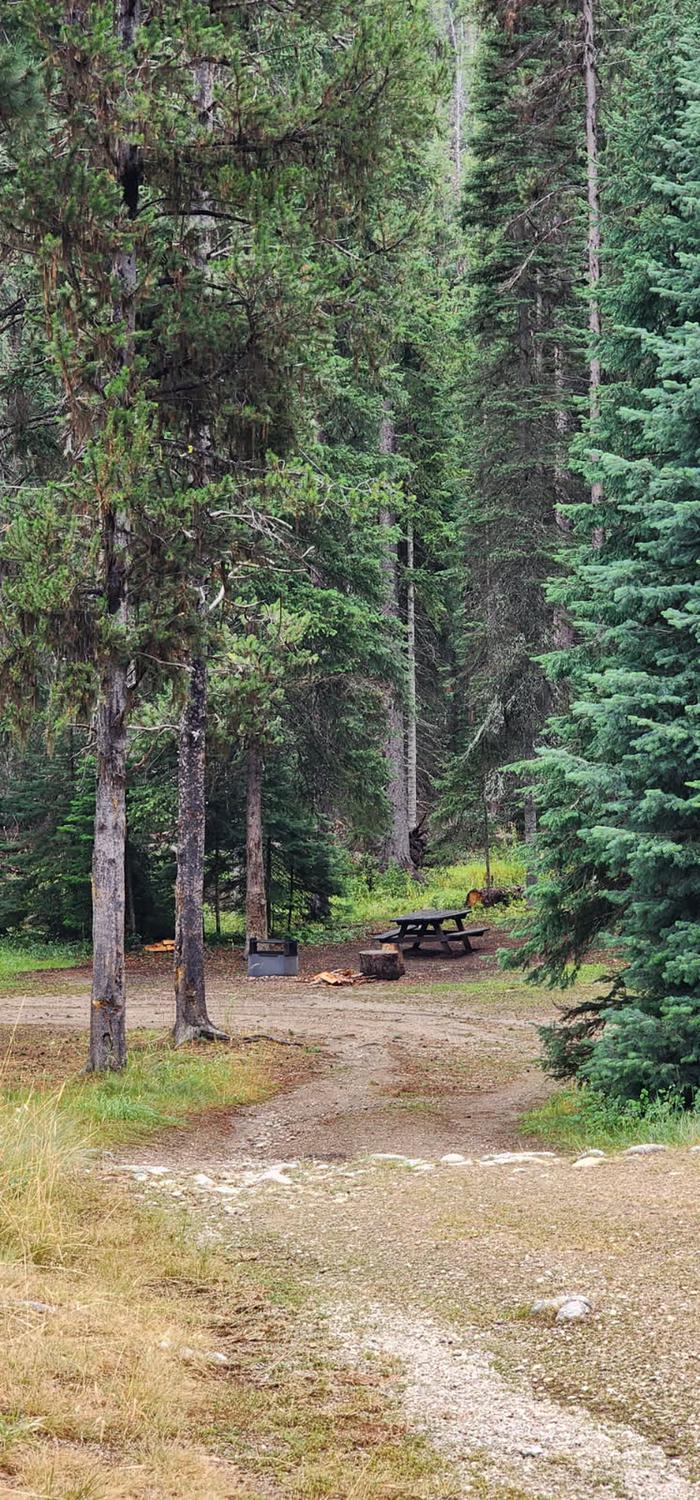
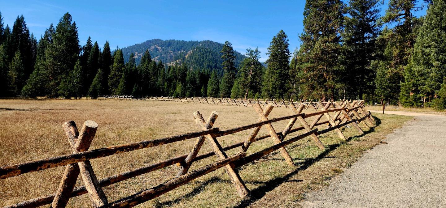
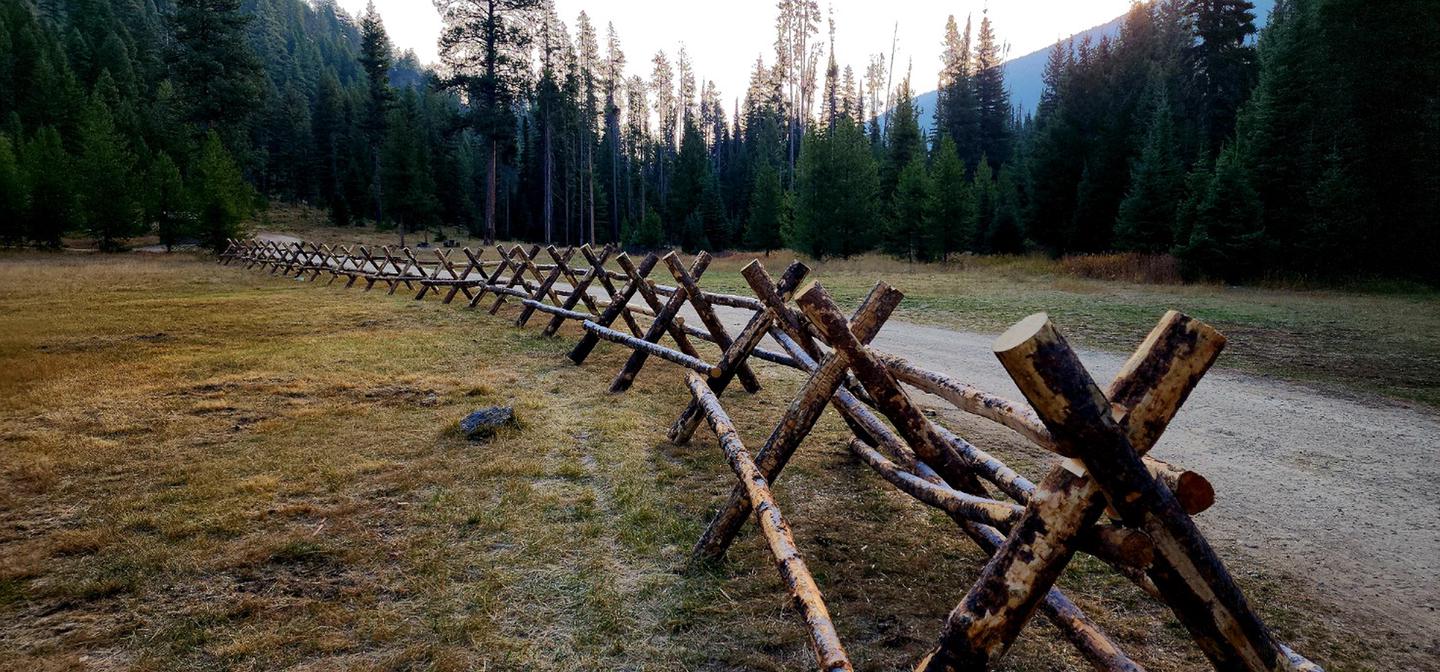
Overview Fales Flat Campground is a group facility on Nez Perce Fork of the Bitterroot River. It is also well equipped for equestrian campers. The campground provides access to a variety of hiking and horseback riding trails in the area, as well as a variety of historic sites that denote the presence of the Nez Perce many years ago. Recreation Fly fishing and wading in the Nez Perce Fork, which runs alongside the campground, are also popular activities. A variety of trails and unimproved roads are great for hiking and horseback riding. Three trails originate near the campground. Watchtower Trail is just down the Nez Perce a mile, Sheephead Creek Trail which is across the road from Fales Flat campground accesses the Selway-Bitterroot Wilderness and can be hiked as a loop, or up to or down from the top of Nez Perce Pass. A third trail, Barecone Trail starts just below Fales Flat Campground and is a steep, 2-mile trail which leads to Bare Cone Lookout. Facilities The campground offers one large group site for tent and RV camping. It can accommodate 15 to 100 people. Hookups are not available. Parking surfaces are gravel. The site is equipped with multiple tables and a large campfire circle. Vault toilets are provided. Drinking water and trash collection bins are not available. A few individual and equestrian sites are available at the campground on a first-come, first-served basis. Those sites have access to a horse staging area and hitching racks. Natural Features The campground is located in a large meadow at the base of Nez Perce Pass along the Nez Perce Fork of the Bitterroot River. The area is believed to have been used by the Nez Perce Nimi'ipuu tribe during its travels to the buffalo country in eastern Montana. Nearby Attractions The campground is at the base of Nez Perce Pass which is a corridor into the heart of the Selway-Bitterroot Wilderness and Frank Church-River of No Return Wilderness Areas. The Montana/Idaho stateline sits atop Nez Perce Pass where there is interpretive information and trailhead access north and south.
From the managing agency.
Is FALES FLAT CAMPGROUND free?
We do not have a fee on record for FALES FLAT CAMPGROUND. Confirm the cost locally before you go.
How do I get to FALES FLAT CAMPGROUND?
FALES FLAT CAMPGROUND is at 45.7461, -114.4433. We do not hold written directions for this one, so navigate to the coordinates.
Nearby
SourceSource data is agency published. Last synced September 19, 2026. Community reports and photos are submitted by travelers and are not verified by the agency.
