
MT. BALDY-BUCKHORN RIDGE
USFS · Campground · Fee
Fast facts
- Cost
- Fee charged
- Managed by
- USFS
- Type
- Campground
- Phone
- 406-295-4693
- Coordinates
- 48.8361, -115.9292
- Last verified
- September 19, 2026
About this place
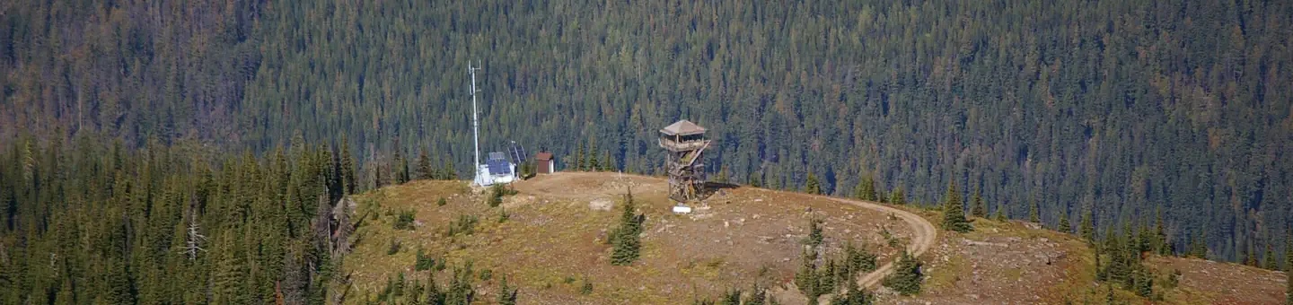
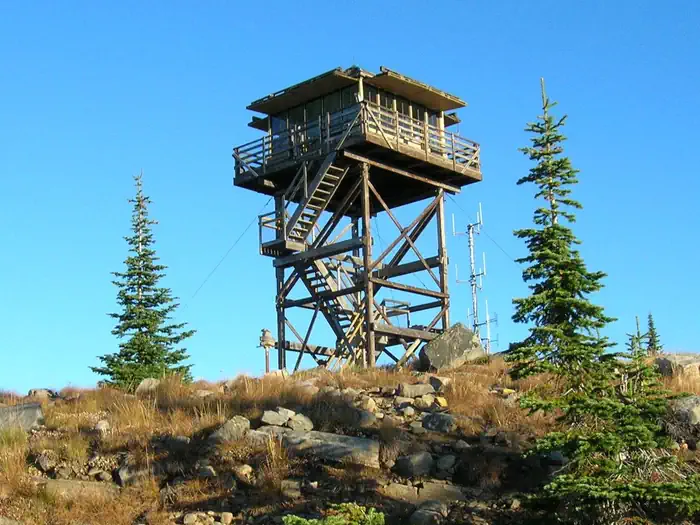
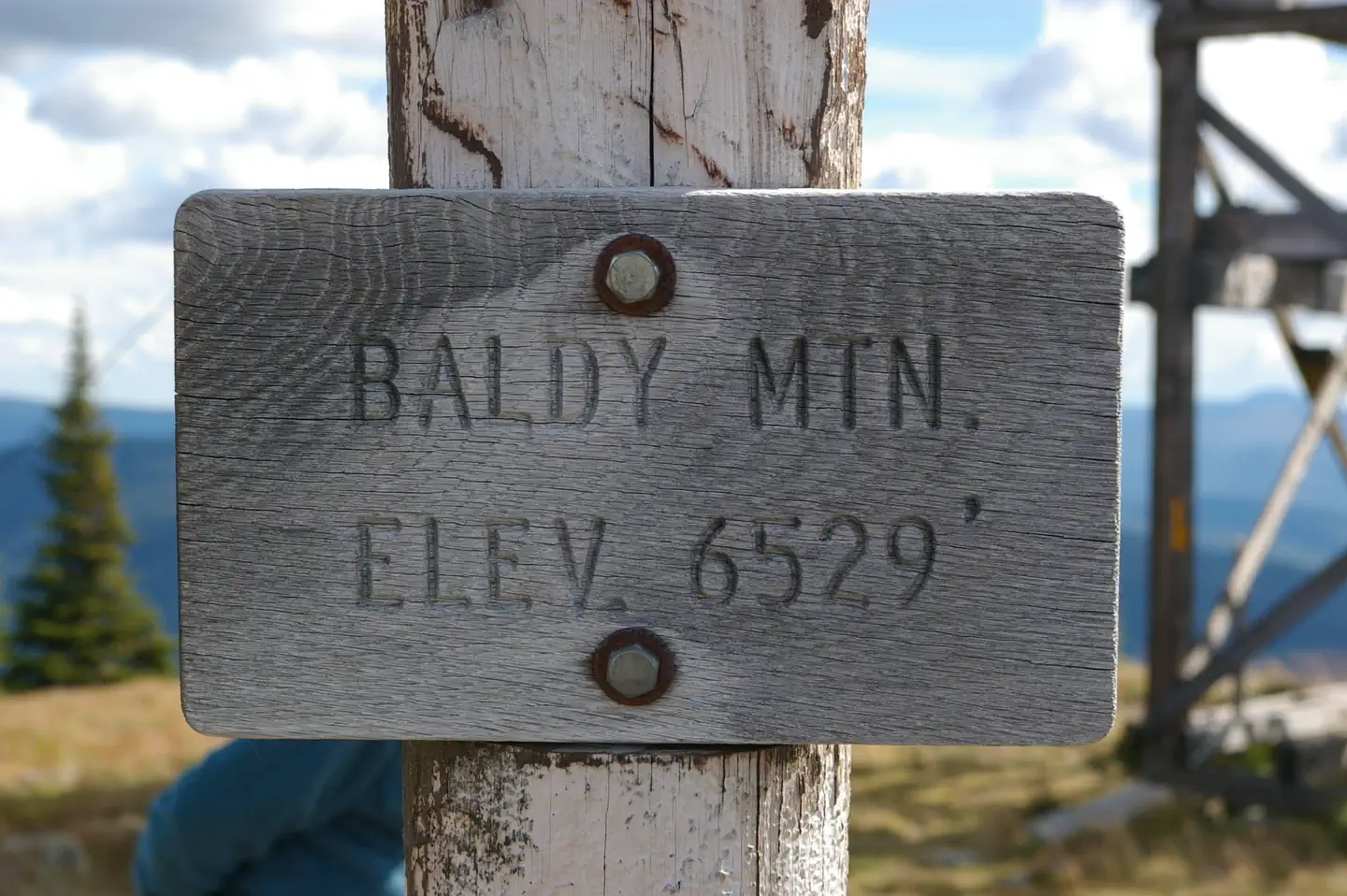
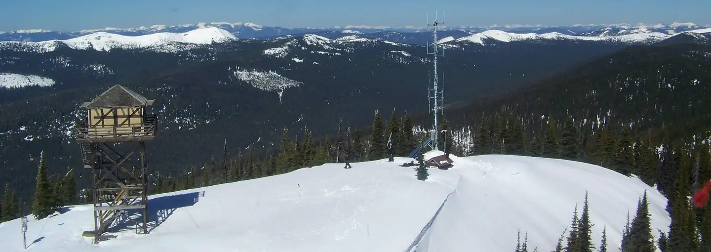
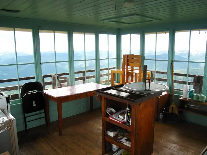
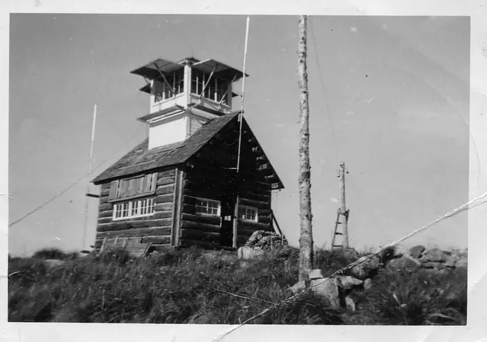
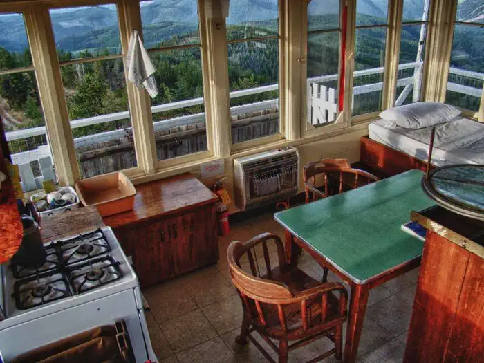
Overview The Mount Baldy - Buckhorn Ridge Lookout sits at an elevation of 6,529 feet in the Kootenai National Forest. This location has been used as an observation point for detecting forest fires since 1910. The current lookout tower was built in 1957. The lookout is typically available from late June through late September, and is accessible by car, though high clearance vehicles are recommended for the primitive roads. Some creature comforts are provided, but guests should be prepared to pack in many of their own amenities. Recreation Aside from exploring Mount Baldy, hikers can find a network of trails in the surrounding Yaak Area. The Northwest Peaks Scenic Area, located in the northwest corner of the Yaak Area, offers a variety of hiking trails in beautiful settings. Hunting is also possible nearby. Wild berries grow in the area, inviting berry pickers. Facilities This 144 square foot lookout cabin sits atop a 26-foot tower and is encircled by a catwalk. It can accommodate 4 people and comes equipped with 2 twin beds and 4 mattresses, a table, 2 chairs, broom and dustpan. Propane appliances are provided that include a cook stove, heater and lights. An outhouse with vault toilet islocated nearby. The lookout does not have electricity or water. Guests must provide their own water for drinking, cooking and washing. Items such as cooking gear, bedding, lanterns or flashlights, matches, extra toilet paper, first aid supplies, trash bags, dish soap, and towels are not available. Guests are expected to pack out their trash and clean the cabin before leaving. Natural Features The lookout offers views of the Kaniksu National Forest in Idaho, the Cabinet Mountain Range and Rock Candy Mountain. The panorama features endless mountain peaks and evergreen forest. Guests have an ideal location for watching sunrises and sunsets, or for gazing out over the starry night skies. Kootenai National Forest supports populations of deer, elk, moose, grizzly and black bears, wolves and mountain lions ( bear safety ). A variety of smaller mammals and birds can also be found. Nearby Attractions Yaak Falls is a popular destination just a short drive from the lookout off Yaak Highway 508. Spring and early summer are the best times to visit, when the snowmelt finds its way over the falls.
From the USFS.
Is MT. BALDY-BUCKHORN RIDGE free?
No. MT. BALDY-BUCKHORN RIDGE charges a fee. It is managed by the USFS.
How do I get to MT. BALDY-BUCKHORN RIDGE?
MT. BALDY-BUCKHORN RIDGE is at 48.8361, -115.9292. We do not hold written directions for this one, so navigate to the coordinates.
Nearby
- Whitetail Campground5.2 mi
- Red Top Campground5.2 mi
- WHITETAIL YURT5.3 mi
- Whitetail5.3 mi
- Pete Creek Campground7.4 mi
- DEER RIDGE LOOKOUT7.9 mi
- GARVER MTN. LOOKOUT RENTAL8.9 mi
- Meadow Creek Campground10.0 mi
No other services within 50 mi on the record.
SourceData from the USFS. Last synced September 19, 2026. Community reports and photos are submitted by travelers and are not verified by the agency.
