
DEER RIDGE LOOKOUT
USFS · Campground · Fee
Fast facts
- Cost
- Fee charged
- Managed by
- USFS
- Type
- Campground
- Hours
- Open 24 hours/day
- Reservations
- recreation.gov
- Phone
- 208-267-5561
- Coordinates
- 48.8453, -116.1019
- Last verified
- September 19, 2026
About this place
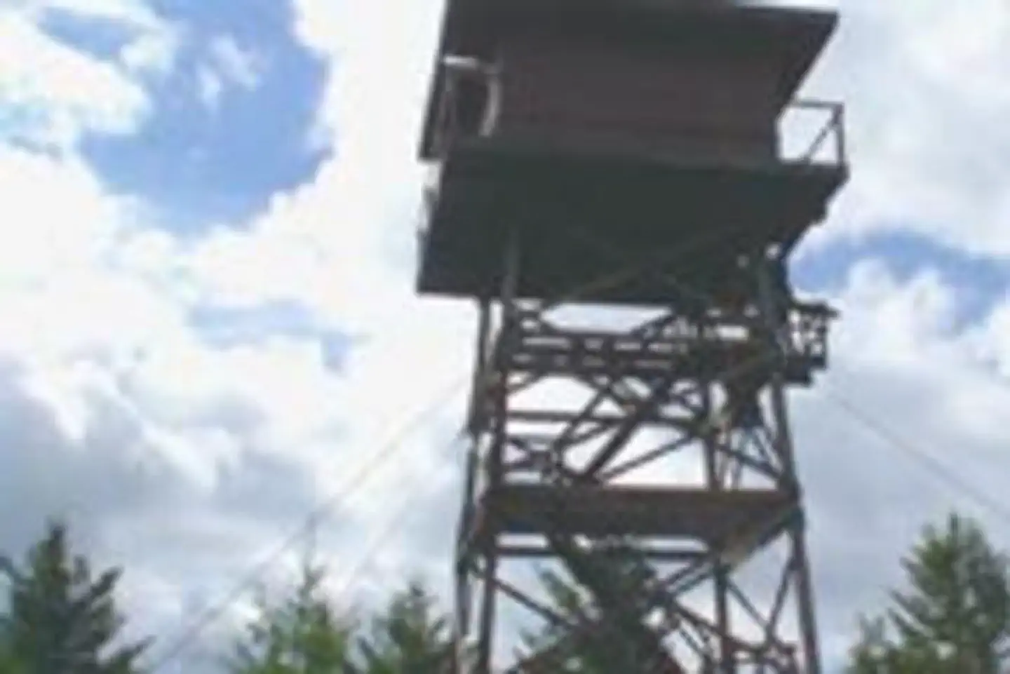
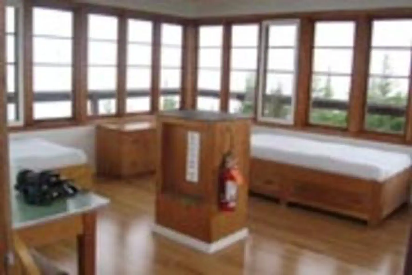
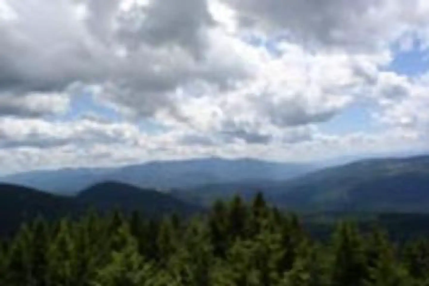
Overview Deer Ridge Lookout, perched on a 40 foot timber frame, boasts excellent views of the Purcell mountain ranges of Northern Idaho, Canada and Montana. Located 24 miles northeast of Bonners Ferry, guests can enjoy magnificent scenery, hiking and wildlife watching. The lookout can be accessed by car and the gravel road to the lookout is well maintained. Recreation Hiking and viewing the scenery are two well-loved activities at the facility. Hiking trails from the lookout follow along the Deer Ridge and Ruby Ridge. Huckleberry picking is enjoyed from August to September. Fly fishing is available in the Moyie River, where anglers can cast for rainbow and brook trout. Make sure to check all regulations and secure all permits with the local Fish and Wildlife department before heading out. Facilities The 14' X 14' cabin has a wraparound catwalk, with a trap door that lifts for access to the tower's entrance staircase. The staircase is steep and is not recommended for small children. Furnishings include two twin beds, two chairs, a dresser and a table. A pit toilet is located 50 yards away. No water is available. Guests should bring plenty of water for drinking, cooking and washing. Cooking is not permitted in the lookout. All cooking should be done outside and at ground level. Guests should bring a tarp to block the rain. Other items to bring include bedding, a first aid kit, towels and flashlights. Natural Features The Lower Kootenai River Area (Bonners Ferry District) is bordered by the Purcell and Cabinet Ranges and the Montana Line on the east, the rugged Selkirk Range on the west, and the Canadian border to the north. The Kootenai River meanders north and west through the District, and the Moyie River joins it from the north. Peaks are moderate in elevation (6000 - 7000 ft.) but are rugged due to heavy glaciation. They are renowned for their mountaineering challenge. The lookout is perched atop Deer Ridge at an elevation of 4,755 feet. The view from the facility includes the rugged Purcell mountain peaks and the beautiful Moyie River Valley and Moyie Springs. Elk, deer and black bears are among the wildlife in the area. Please be aware of and practice bear safety. Nearby Attractions The nearest town for groceries is Bonners Ferry, about 24 miles from the lookout.
From the USFS.Official page
Is DEER RIDGE LOOKOUT free?
No. DEER RIDGE LOOKOUT charges a fee. It is managed by the USFS. Sites are reservable through recreation.gov.
How do I get to DEER RIDGE LOOKOUT?
Take Highway 95/2 north from the Bonners Ferry Ranger Station for 5 miles. Turn right onto Highway 2 and head east for 2 miles. Turn left onto Meadow Creek Road and head north and east for 10 miles to the bridge over the Moyie River. Turn right onto Road 2541 (Placer Creek Road) and go east 1.5 miles. Next, drive north on Road 2540 for 6 miles until the road ends at Deer Ridge Lookout.
What are the rules at DEER RIDGE LOOKOUT?
Dogs are not allowed in any of our cabins, lookouts or historic recreation areas that are available for reservation.
Nearby
- Meadow Creek Campground2.7 mi
- SNYDER GUARD STATION (ID)4.1 mi
- MT. BALDY-BUCKHORN RIDGE7.9 mi
- Copper Creek Campground10.1 mi
- Robinson Lake Campground10.2 mi
- Red Top Campground10.2 mi
- Brush Lake Picnic Area10.8 mi
- Whitetail Campground13.1 mi
No other services within 50 mi on the record.
SourceData from the USFS. Last synced September 19, 2026. Community reports and photos are submitted by travelers and are not verified by the agency.
