
LOWER HYALITE GROUP
Campground · Fee
Fast facts
- Cost
- Fee charged
- Type
- Campground
- Phone
- 406-646-1012
- Coordinates
- 45.5458, -111.0497
- Last verified
- September 19, 2026
About this place
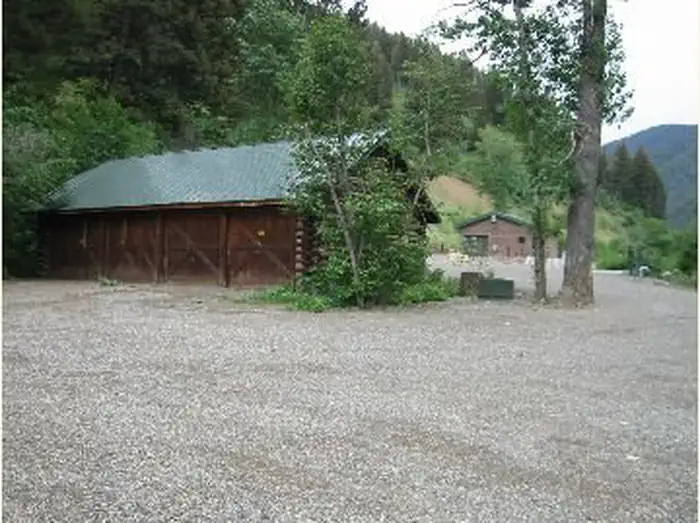
Overview Lower Hyalite Group Site is located in scenic Hyalite Canyon on the Bozeman Ranger District of the Gallatin National Forest. It is just nine miles south of Bozeman, MT. The surrounding area offers many outdoor recreational opportunities, including fishing, hiking and climbing. Recreation Hyalite Creek provides great fishing for Yellowstone cutthroat, Arctic grayling and brook trout. Many hiking trails can be found in Hyalite Canyon. Facilities The campground offers group site that can accommodate up to 100 people. It can be used for overnight camping or day-use picnicking. A large shelter is on-site, with picnic tables and a campfire ring. Vault toilet provided. Drinking water and trash collection are not available at the campground. Campers must bring their own water and pack out all garbage. Firewood available at Langohr campground for $10.00 per bundle. Gate will be unlocked but closed on day of arrival. If assistance is needed please call 623-910-0170 Natural Features The group site sits next to Hyalite Creek, at an elevation of 5,000 feet. A forest of fir, pine and spruce trees covers the surrounding mountains. Nearby Attractions Hyalite Reservoir is just 6.5 miles from the campground. The scenic 206-acre lake offers many recreational activities, including boating, canoeing, fishing, hiking, climbing and picnicking. The popular Hyalite Peak Trail begins near the reservoir. The 7.5-mile one-way trail gains 3,450 feet in elevation as is climbs past numerous waterfalls to beautiful Hyalite Lake and Hyalite Peak. Contact Info For facility specific information, please call (661) 702-1420.
From the managing agency.
Is LOWER HYALITE GROUP free?
No. LOWER HYALITE GROUP charges a fee.
How do I get to LOWER HYALITE GROUP?
LOWER HYALITE GROUP is at 45.5458, -111.0497. We do not hold written directions for this one, so navigate to the coordinates.
Nearby
- LANGOHR CAMPGROUND1.9 mi
- Lower Hyalite Group Campground2.0 mi
- FOX CREEK CABIN (MT)4.6 mi
- HOOD CREEK CAMPGROUND5.8 mi
- HYALITE PAVILION5.8 mi
- LITTLE BEAR CABIN5.9 mi
- Hood Creek Campground6.2 mi
- MYSTIC LAKE CABIN6.3 mi
No other services within 50 mi on the record.
SourceSource data is agency published. Last synced September 19, 2026. Community reports and photos are submitted by travelers and are not verified by the agency.
