
LANGOHR CAMPGROUND
USFS · Campground · Fee
Fast facts
- Cost
- Fee charged
- Managed by
- USFS
- Type
- Campground
- Reservations
- recreation.gov
- Phone
- (406)646-1012
- Coordinates
- 45.5336, -111.0150
- Last verified
- September 19, 2026
About this place
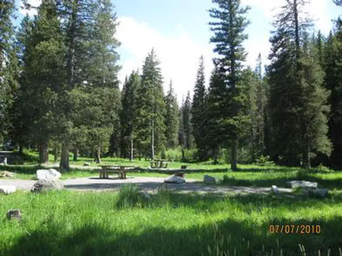
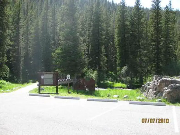
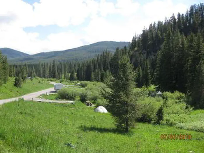
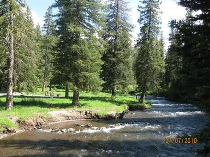
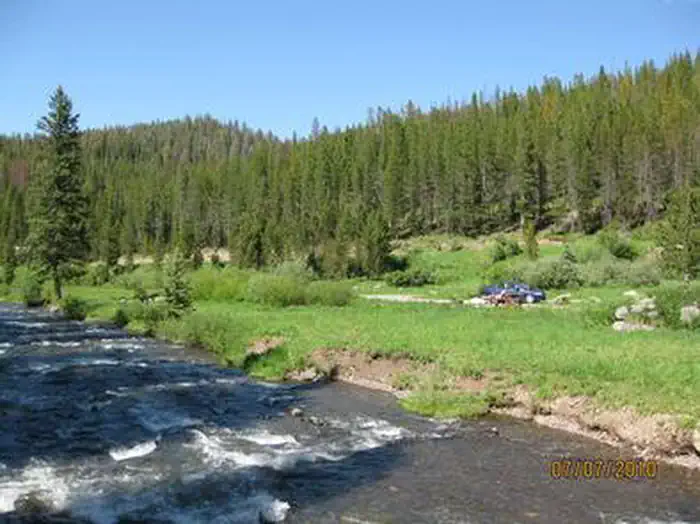
Overview Langohr Campground is located in scenic Hyalite Canyon on the Bozeman Ranger District of the Gallatin National Forest. It is located just 12 miles south of Bozeman, Mont. The surrounding area offers many outdoor recreational opportunities, including fishing, hiking and climbing. Recreation Hyalite Creek provides great fishing for Yellowstone cutthroat, Arctic grayling and brook trout. Many hiking trails can be found in Hyalite Canyon. Facilities The campground offers several single-family campsites. A GROUP PICNIC AREA (SITE 20 ) for DAY USE ONLY is also available and can accommodate up to 50 people. Tables and campfire rings are provided, as are vault toilets, drinking water and trash collection. Natural Features The campground sits next to Hyalite Creek, at an elevation of 6,200 feet. Most campsites are situated in open meadows along the creek. Some are located among scattered pine and fir trees. Contact Info For facility specific information, please call (661) 702-1420. Nearby Attractions Hyalite Reservoir is just 3.5 miles from the campground. The scenic 206-acre lake offers many recreational activities, including boating, canoeing, fishing, hiking, climbing and picnicking. The popular Hyalite Peak Trail begins near the reservoir. The 7.5-mile one-way trail gains 3,450 feet in elevation as is climbs past numerous waterfalls to beautiful Hyalite Lake and Peak.
From the USFS.Official page
Is LANGOHR CAMPGROUND free?
No. LANGOHR CAMPGROUND charges a fee. It is managed by the USFS. Sites are reservable through recreation.gov.
How do I get to LANGOHR CAMPGROUND?
11 miles south of Bozeman on Hyalite Canyon Rd #62
Nearby
- LOWER HYALITE GROUP1.9 mi
- Lower Hyalite Group Campground3.7 mi
- FOX CREEK CABIN (MT)4.0 mi
- HOOD CREEK CAMPGROUND4.1 mi
- HYALITE PAVILION4.1 mi
- Hood Creek Campground4.5 mi
- MYSTIC LAKE CABIN4.7 mi
- MAXEY CABIN4.9 mi
No other services within 50 mi on the record.
SourceData from the USFS. Last synced September 19, 2026. Community reports and photos are submitted by travelers and are not verified by the agency.
