
BIG SPRINGS GRP. AREA - ISLAND PARK
Campground · Fee not listed
Fast facts
- Cost
- Not listed. Check locally.
- Type
- Campground
- Phone
- 208-558-7658 OR 208-270-0094
- Coordinates
- 44.4978, -111.2556
- Last verified
- September 19, 2026

About this place
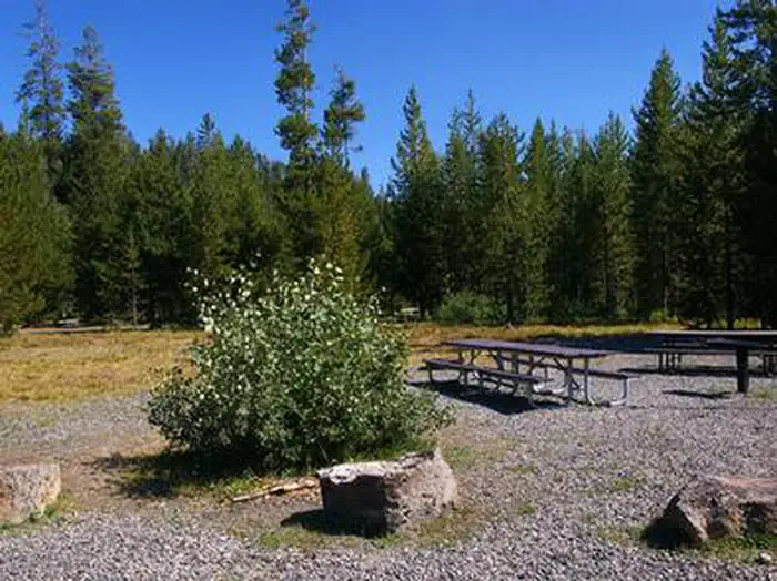
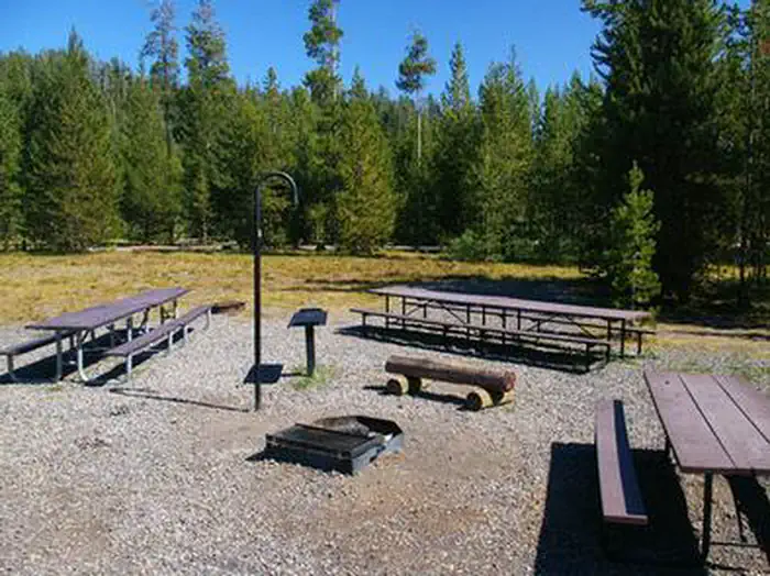
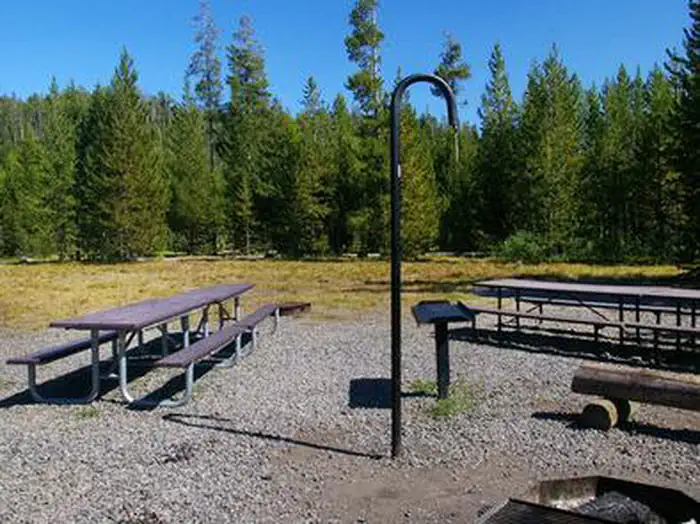
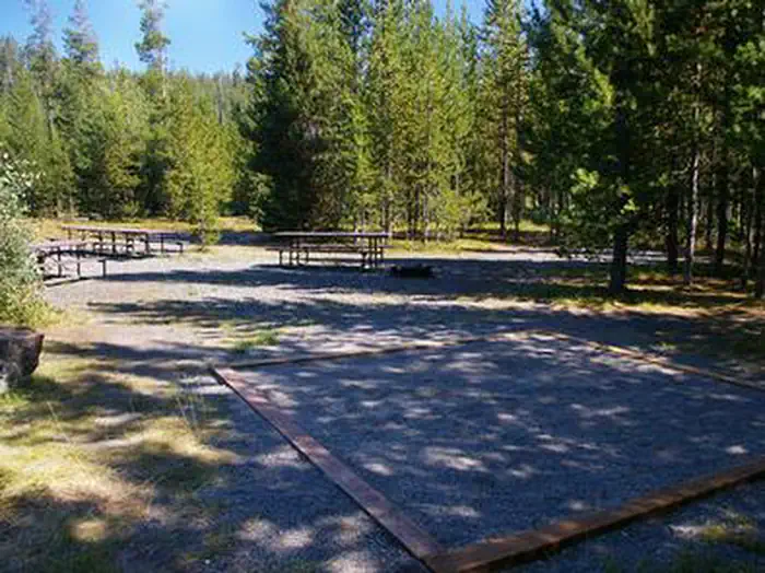
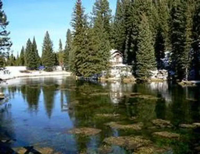
Overview Big Springs Group Area is located 22 miles south of West Yellowstone, Montana in beautiful Island Park, Idaho at an approximate elevation of 6,300 feet. Visitors love Island Park for its world-class fishing and outstanding scenery and wildlife viewing opportunities. Recreation Big Springs is the headwaters of Henry's Fork and is one of the largest springs in the country. Henry's Fork is considered one of the best fly-fishing streams in the nation. Fishermen cast for rainbow and brook trout. Tubing, canoeing, kayaking and rafting are also popular on the river. The Big Springs National Recreation Water Trail can be accessed from the campground and ends 4.5 miles away at Macks Inn. It offers a lazy three-hour float or canoe trip through beautiful scenery. Wildlife, including moose, bald eagles and Sandhill cranes, are often seen along the trail. The charming and historic John Sack Cabin is nearby, noted for its unique location, construction and furnishings. Hiking, biking, horseback riding and ATVing are popular activities. Many miles of trails crisscross Island Park, including the Continental Divide National Scenic Trail and the Nez Perce Trail are in the area. Facilities The campground provides one accessible group site that can accommodate up to 40 people, with picnic tables, a campfire circle, grill and tent pads. Accessible vault toilets, drinking water and trash collection are provided. 30-amp electricity is available for a fee. Firewood is available for purchase from the host. Roads and parking spurs are gravel. Natural Features Island Park is composed of two areas of extinct volcanic activity. The Henry's Fork Caldera sits inside the larger Island Park Caldera. The area is known for its dense forests of lodgepole pine, broad grassy meadows bursting with summer wildflowers and a wide variety of wildlife, including black and grizzly bears, moose, elk, deer, bald eagles, Sandhill cranes and much, much more. The campground is situated in a clearing surrounded by a forest of lodgepole pines. Grasses and summer wildflowers dot the landscape. Nearby Attractions Macks Inn is 4.5 miles west. This full-service facility offers boat rentals, rafting, shuttle service, gas, groceries, showers and laundry facilities. Island Park Reservoir and Henry's Lake are nearby, both offering boating, water skiing, fishing, kayaking and canoeing. Numerous additional small lakes and streams are scattered throughout Island Park. Yellowstone and Grand Teton National Parks are within a short drive, offering hiking and fishing, as well as outstanding scenery.
From the managing agency.
Is this site free?
We do not have a fee on record for this site. Confirm the cost locally before you go.
How do I get to this site?
this site is at 44.4978, -111.2556. We do not hold written directions for this one, so navigate to the coordinates.
Nearby
- Big Springs Campground0.0 mi
- Big Springs Snow Park Group Campground2.2 mi
- BIG SPRINGS WARMING HUT2.4 mi
- Flatrock Campground4.1 mi
- FLAT ROCK (IDAHO)4.2 mi
- UPPER COFFEE POT5.5 mi
- Upper Coffee Pot Campground5.5 mi
- BUFFALO (IDAHO)7.5 mi
No other services within 50 mi on the record.
SourceSource data is agency published. Last synced September 19, 2026. Community reports and photos are submitted by travelers and are not verified by the agency.
