
UPPER COFFEE POT
Campground · Fee not listed
Fast facts
- Cost
- Not listed. Check locally.
- Type
- Campground
- Phone
- 208-558-7658 OR 208-270-0094
- Coordinates
- 44.4911, -111.3661
- Last verified
- September 19, 2026


About this place
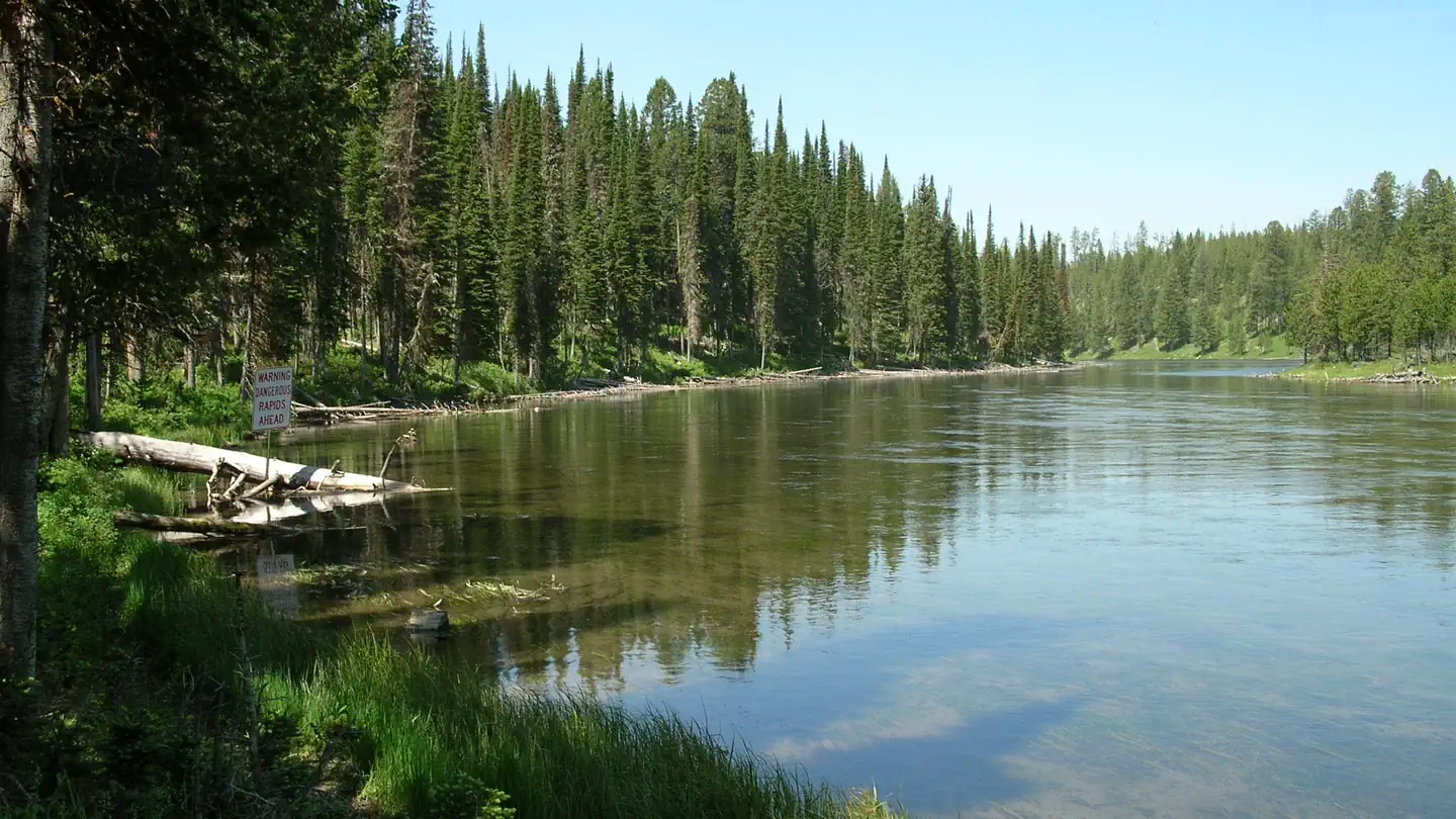
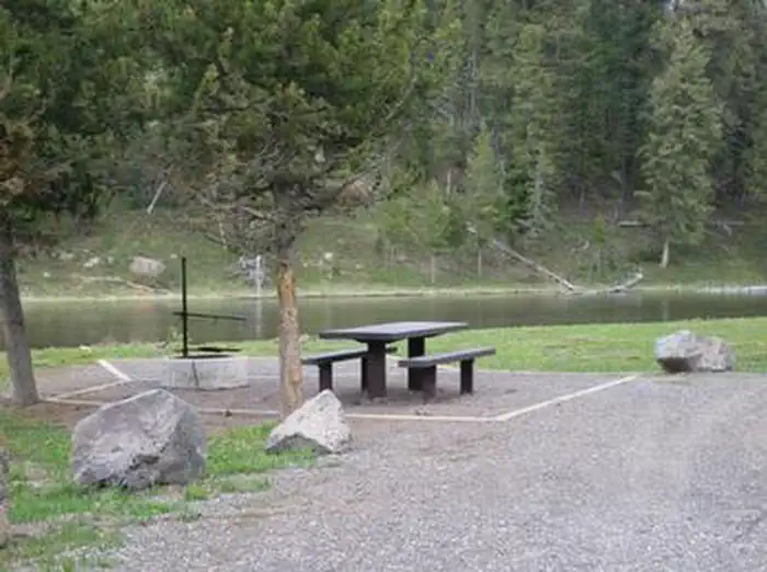
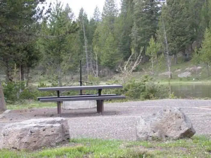
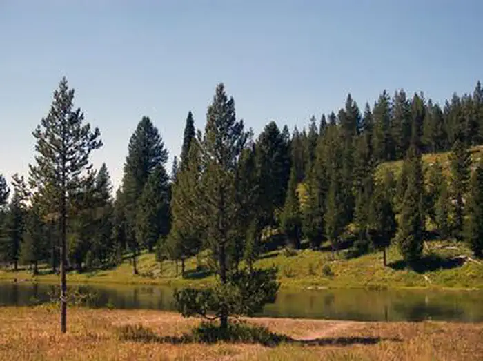
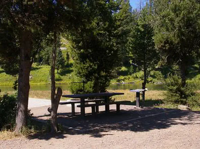
Overview Upper Coffee Pot Campground is located in Island Park, Idaho on a beautiful, floatable stretch of the Henry's Fork of the Snake River at an elevation of 6,300 feet. Visitors love Island Park for its world-class fishing and outstanding scenery and wildlife viewing opportunities. Recreation Henry's Fork has great fly-fishing for rainbow and brook trout. Tubing, canoeing, kayaking and rafting are also popular on the river. Coffee Pot Rapids are located downstream. The rapids are rated class III whitewater, providing a river playground for kayakers and rafters. Hiking, biking, horseback riding and ATVing are popular activities. Many miles of trails crisscross Island Park, including the 2.5-mile Coffee Pot Rapids Trail, which begins in the campground and meanders along the riverbank. The Continental Divide National Scenic Trail and the Nez Perce Trail are in the area. Island Park Reservoir and Henry's Lake are nearby, both offering boating, water skiing and excellent fishing opportunities. The Big Springs National Recreation Water Trail offers an approximately three-hour float or canoe trip through beautiful scenery. Wildlife, including moose, bald eagles and Sandhill cranes, are often seen along the trail. Facilities The campground contains single and double sites, some of which have 50-amp electric hookups. Each site contains a picnic table, fire ring, and grill. All sites have views of the river and some have direct river access. Vault toilets, drinking water and trash collection are provided. Roads and parking spurs are gravel. Firewood is available for purchase from the host. Guided nature walks are held in Upper Coffee Pot on Saturdays throughout the summer; check bulletin board for meeting location, time and subject. Natural Features Island Park is composed of two areas of extinct volcanic activity. The Henry's Fork Caldera sits inside the larger Island Park Caldera. The area is known for its dense forests of lodgepole pine, broad grassy meadows bursting with summer wildflowers and a wide variety of wildlife, including black and grizzly bears, moose, elk, deer, bald eagles, Sandhill cranes and much, much more. The campground is situated on the banks of the Henry's Fork among a forest of lodgepole pines, which provide partial shade in some sites. Some areas of the campground are more open and sunny than others. Nearby Attractions Mesa Falls Scenic Byway is 14 miles south of the campground. This 28-mile road leads to scenic overlooks and trails at 110 foot Upper Mesa Falls and 85 foot Lower Mesa Falls. Harriman State Park is 16 miles south. The Henry's Fork meanders through the Harriman, offering excellent fishing. Over 20 miles of trails are available, and wildlife is abundant in this scenic park. Henry's Lake State Park is 12 miles north, offering fishing, a fish cleaning station and boat ramp. Yellowstone National Park's west entrance is just 23 miles north in the town of West Yellowstone, Montana. Visitors enjoy day-tripping to the park for unparalleled wildlife viewing and the beautiful and unique scenery.
From the managing agency.
Is UPPER COFFEE POT free?
We do not have a fee on record for UPPER COFFEE POT. Confirm the cost locally before you go.
How do I get to UPPER COFFEE POT?
UPPER COFFEE POT is at 44.4911, -111.3661. We do not hold written directions for this one, so navigate to the coordinates.
Nearby
- Upper Coffee Pot Campground0.0 mi
- FLAT ROCK (IDAHO)1.4 mi
- Flatrock Campground1.4 mi
- MCCREA BRIDGE2.6 mi
- Mccrea Bridge Campground2.6 mi
- BIG SPRINGS WARMING HUT3.3 mi
- Big Springs Snow Park Group Campground3.5 mi
- BUFFALO (IDAHO)4.5 mi
No other services within 50 mi on the record.
SourceSource data is agency published. Last synced September 19, 2026. Community reports and photos are submitted by travelers and are not verified by the agency.
