
Lock 1
Campground · Fee not listed
Fast facts
- Cost
- Not listed. Check locally.
- Type
- Campground
- Phone
- 334-289-3540
- Coordinates
- 31.5736, -88.0322
- Last verified
- September 19, 2026

About this place
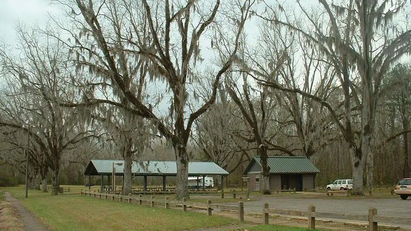
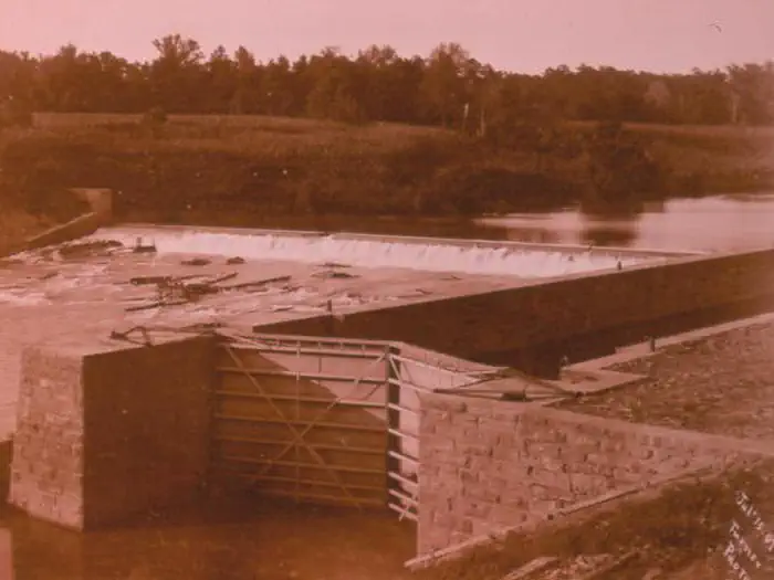
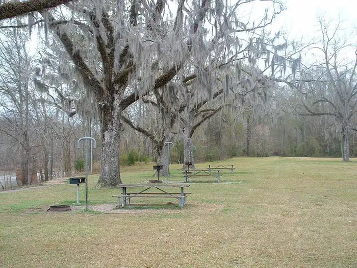
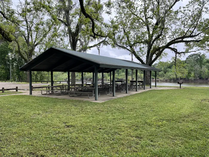
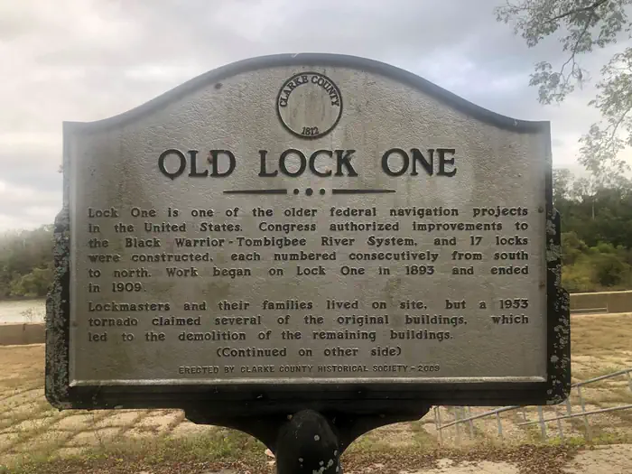
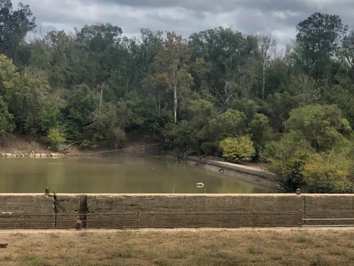
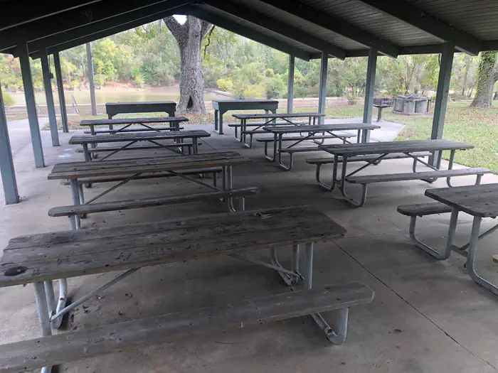
Overview Lock 1 Park is situated on the historical Tombigbee River cut off. The park offers a boat ramp, picnic shelter, flush tiolets, primitive campsites and parking lot. An interesting feature is the reminance of Old Lock 1 completed around 1897. Recreation Fishing, picnicing and wildlife watching are just a few outdoor activities that can be done at the park. Facilities Block restrooms with flush toilets and shelter with electricity Charges & Cancellations NO REFUNDS OR RAIN CHECKS OF RESERVATION FEE. Cancellation due to inclement weather may be rescheduled on another open day within 6 months of original reservation date. The reservation holder must show original reservation receipt and this completed page at time of rescheduling reservation.
From the managing agency.
Is Lock 1 free?
We do not have a fee on record for Lock 1. Confirm the cost locally before you go.
How do I get to Lock 1?
Lock 1 is at 31.5736, -88.0322. We do not hold written directions for this one, so navigate to the coordinates.
Nearby
- SERVICE13.5 mi
- ISAAC CREEK28.6 mi
- Isaac Creek Shelters28.7 mi
- Turkey Fork Recreation Area42.5 mi
- Turkey Fork Recreation Area42.8 mi
No other services within 50 mi on the record.
SourceSource data is agency published. Last synced September 19, 2026. Community reports and photos are submitted by travelers and are not verified by the agency.
