
Turkey Fork Recreation Area
Campground · Fee not listed
Fast facts
- Cost
- Not listed. Check locally.
- Type
- Campground
- Phone
- 601-428-0594
- Coordinates
- 31.3392, -88.7033
- Last verified
- September 19, 2026

About this place
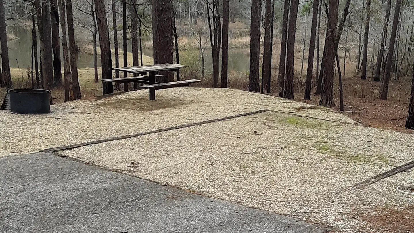
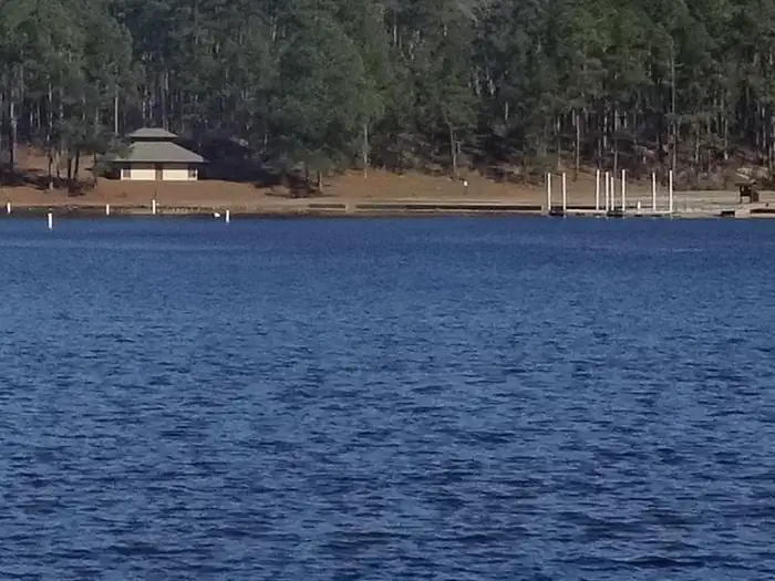
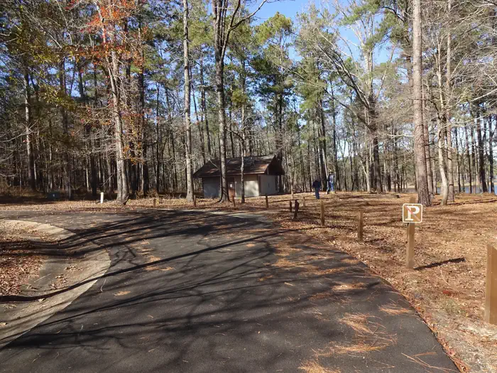
Overview Turkey Fork Recreation Area is the most popular recreation area on the DeSoto National Forest and one of the most visited outdoor recreation areas in south Mississippi, offering three bathhouses, a picnic area, two swim areas, a boat ramp, a floating pier, 20 RV campsites, and 8 primitive camping sites, which surround a 240-acre lake The lake is stocked with catfish, bass, and bluegill. Recreational opportunities at Turkey Fork include fishing, water sports, camping, picnicking, and hiking. With all these opportunites, a visit to Turkey Fork Recreation Area will provide its visitors with an enjoyable outdoor experience and memories to take home. Recreation Turkey Fork is a popular recreation destination offering premier fishing, camping, picnicking and watersports activities, such as swimming and skiing. It has a boat ramp, floating dock, two swim areas, and three bathhouses. The 240 acre lake stocked with bass, crappie, and bluegill. Day use visitors will find secluded picnicking sites located near the beach. A ¾ mile hiking trail connects the day use area to the camping area. Facilities The campground has six RV campsites available for reservation. Additional RV campsites are available on a first-come, first served basis. Each campsite has water and electric hookups, picnic table, and fire-ring with grill. Flush toilets, and showers is available at the campground bathhouse. A campground host is on-site. Natural Features Turkey Fork Recreation Area is built around the 240-acre Turkey Fork Reservoir.
From the managing agency.
Is Turkey Fork Recreation Area free?
We do not have a fee on record for Turkey Fork Recreation Area. Confirm the cost locally before you go.
How do I get to Turkey Fork Recreation Area?
Turkey Fork Recreation Area is at 31.3392, -88.7033. We do not hold written directions for this one, so navigate to the coordinates.
Nearby
- Turkey Fork Recreation Area0.4 mi
- Long Leaf Horse Camp23.0 mi
- Cypress Creek Landing Campground31.2 mi
- Lock 142.8 mi
- SERVICE43.3 mi
- Big Foot Horse Camp49.4 mi
No other services within 50 mi on the record.
SourceSource data is agency published. Last synced September 19, 2026. Community reports and photos are submitted by travelers and are not verified by the agency.
