
BEAVER CREEK (MO)
Campground · Fee not listed
Fast facts
- Cost
- Not listed. Check locally.
- Type
- Campground
- Phone
- 417-546-3708
- Coordinates
- 36.6397, -93.0458
- Last verified
- September 19, 2026

About this place
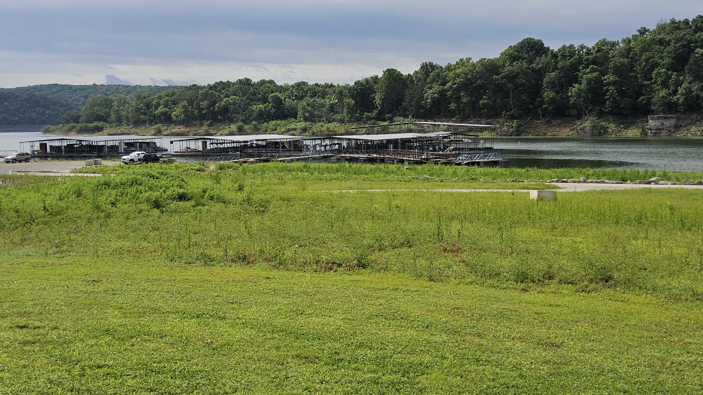
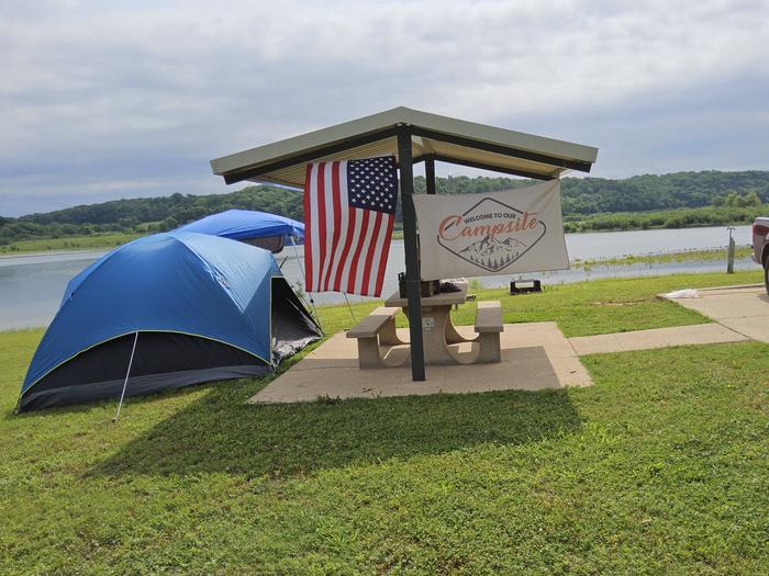
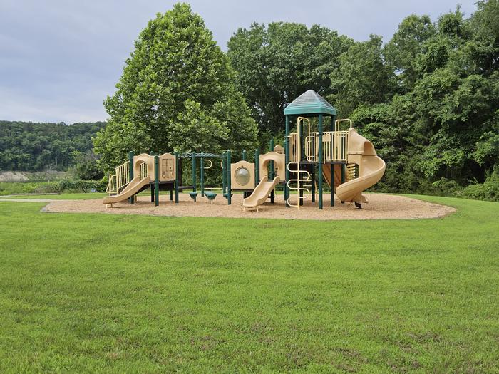
Overview Escape from the hustle and bustle of city-life at Beaver Creek, a small, quiet campground tucked between a forested area and the lower shores of Bull Shoals Lake. The lake, in the beautiful Ozark Mountains, attracts visitors year-round as each season unfolds a new panorama. Recreation Hiking, birding, all types of water sports, and in-season hunting are featured attractions. Spring and fall are the best seasons for fishing, but spotted bass, crappie and similar fish can be sought throughout the year. Facilities Beaver Creek hosts 33 campsites with electrical hookups and hot showers. A group shelter, playground and marina are also on-site. Natural Features The campground is in south-central Missouri along the Beaver Creek arm of Bull Shoals Lake. Sturdy, green hardwoods and cedar glades encompass the rocky bluffs and unique rock formations of the mountains. Nearby Attractions Visit the Jones Point State Wildlife Management Area for promising wildlife spotting and birding. The lively tourist town of Branson is just 30 minutes away. Here, visitors can shop, dine and find live music. Charges & Cancellations Cancellations up to 2 days before a reservation start date incur a $10.00 cancellation fee.
From the managing agency.
Is BEAVER CREEK (MO) free?
We do not have a fee on record for BEAVER CREEK (MO). Confirm the cost locally before you go.
How do I get to BEAVER CREEK (MO)?
BEAVER CREEK (MO) is at 36.6397, -93.0458. We do not hold written directions for this one, so navigate to the coordinates.
Nearby
- River Run Park4.2 mi
- Hercules Tower Trailhead9.6 mi
- TUCKER HOLLOW PARK11.5 mi
- LEAD HILL13.3 mi
- MOONSHINE BEACH REC. AREA14.8 mi
- Willie Lee15.0 mi
- Wolf Junction15.1 mi
- Bar-k Horse Camp15.3 mi
No other services within 50 mi on the record.
SourceSource data is agency published. Last synced September 19, 2026. Community reports and photos are submitted by travelers and are not verified by the agency.
