
LEAD HILL
Campground · Fee not listed
Fast facts
- Cost
- Not listed. Check locally.
- Type
- Campground
- Phone
- 870-422-7555
- Coordinates
- 36.4747, -92.9219
- Last verified
- September 19, 2026
About this place
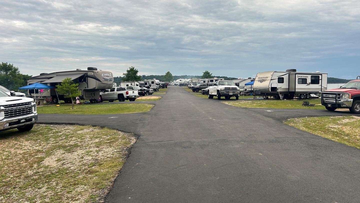
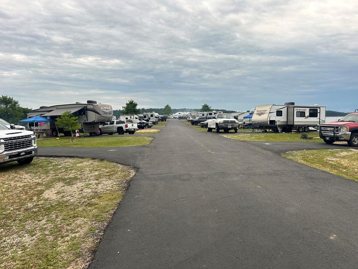
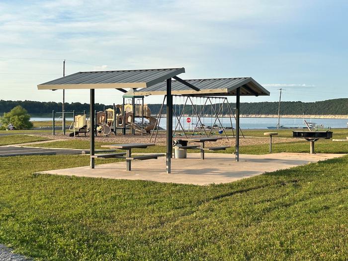
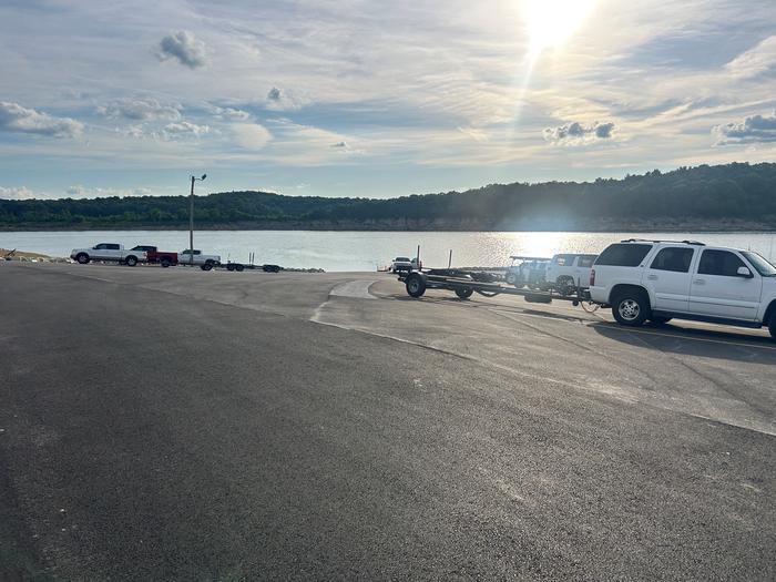
Overview Lead Hill Campground is a splendid, sizable campground with plenty of waterfront sites along the shores of Bull Shoals Lake. The lake, renowned as a haven for water sports enthusiasts, boasts nearly 1,000 miles of shoreline along the Arkansas and Missouri border. Recreation Year-round fishing tournaments keep fishermen active as they seek out 12-pound bass. The lake also attracts birders, naturalists, hikers, scuba divers and those who come for all types of motorboat sports. Facilities Most of the 75 campsites have canopies over picnic tables for cooling shade, and each one is equipped with electric hookups. The campground also has two group campsites, a playground, designated swim area and a marina. Natural Features Lead Hill is on the Arkansas side of Bull Shoals, which stretches across the border of Arkansas and Missouri. Bull Shoals Lake, formed by a dam built in 1951, stems from the White River in the Ozark Mountains, and eventually flows into the Mississippi. Nearby Attractions Cruise around the lake to see the many public parks operated by the Army Corps of Engineers. These parks cover additional swim areas, 11 marinas and several hundred miles of undeveloped land and coves. Charges & Cancellations Cancellations up to 2 days before a reservation start date incur a $10.00 cancellation fee.
From the managing agency.
Is LEAD HILL free?
We do not have a fee on record for LEAD HILL. Confirm the cost locally before you go.
How do I get to LEAD HILL?
LEAD HILL is at 36.4747, -92.9219. We do not hold written directions for this one, so navigate to the coordinates.
Nearby
- TUCKER HOLLOW PARK4.7 mi
- BUCK CREEK (MO)7.1 mi
- HIGHWAY 125 PARK BULL SHOALS8.4 mi
- BEAVER CREEK (MO)13.3 mi
- Hercules Tower Trailhead14.6 mi
- THEODOSIA PARK16.4 mi
- Oakland Park16.5 mi
- Wolf Junction17.1 mi
No other services within 50 mi on the record.
SourceSource data is agency published. Last synced September 19, 2026. Community reports and photos are submitted by travelers and are not verified by the agency.
